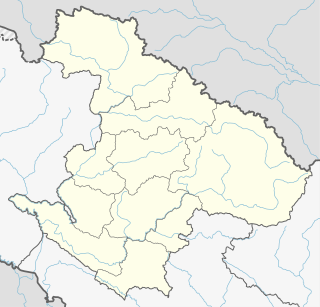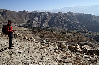
Solududhkunda (earlier:Dudhkunda) is the only municipality of Solukhumbu District. Located in Province No. 1 of Nepal. The town of Salleri, which is located within the municipality is the headquarter of Solukhumbu District It was formed in 2014 by merging four VDCs: Salleri, Garma, Loding Tamakhani and Beni and was divided into 9 wards. Total area of the municipality had 254.3 square kilometres (98.2 sq mi) and population of municipality had 20,399 individuals living in 5,368 households.

Patarasi is a rural municipality located in Jumla District of Karnali Province of Nepal.

Narayan is a municipality located in Dailekh District of Karnali Province of Nepal.

Melung is a Rural municipality located within the Dolakha District of the Bagmati Province of Nepal. The municipality spans 86.54 square kilometres (33.41 sq mi) of area, with a total population of 20,210 according to a 2011 Nepal census.

Khandadevi is a populated place and a ward of Khandadevi Rural Municipality. It was a village development committee before 10 March 2017. At the time of the 1991 Nepal census it had a population of 3751 people living in 650 individual households.

Susta is a rural municipality located in Parasi District of Province No. 5 of Nepal.

Panchapuri is an urban municipality located in Surkhet District of Karnali Province of Nepal.

Raskot is an urban municipality located in Kalikot District of Karnali Province of Nepal.

Tripurasundari is an urban municipality located in Dolpa District of Karnali Province of Nepal.

Gurans is a rural municipality located in Dailekh District of Karnali Province of Nepal.

Sinja is a rural municipality located in Jumla District of Karnali Province of Nepal.

Mahabu is a rural municipality located in Dailekh District of Karnali Province of Nepal.

Thantikandh is a rural municipality located in Dailekh District of Karnali Province of Nepal.

Bhagawatimai is a rural municipality located in Dailekh District of Karnali Province of Nepal.

Dungeshwar is a rural municipality located in Dailekh District of Karnali Province of Nepal.

Byas is a rural municipality located in Darchula District of Sudurpashchim Pradesh of Nepal.

Namkha is the largest rural municipality of Nepal located in Humla District of Karnali Province.

Lo-Ghekar Damodarkunda (earlier:Dalome) is a rural municipality situated in Mustang District of Gandaki Province of Nepal. The rural municipality is situated on the northern part of the Mustang, surrounded by Lomanthang rural municipality on the north, Barhagaun Muktichhetra on the south, Manang District on the south-east and Dolpa District on the west, north-eastern border of the rural municipality touches border with Tibet of China.

Kalinchowk is a Rural municipality located within the Dolakha District of the Bagmati Province of Nepal. The municipality spans 132.49 square kilometres (51.15 sq mi) of area, with a total population of 22,954 according to a 2011 Nepal census.


