Related Research Articles

Monroe County is a county on the northeast border of the U.S. state of Mississippi next to Alabama. As of the 2020 census, the population was 34,180. Its county seat is Aberdeen.

Aberdeen is the county seat of Monroe County, Mississippi, United States. As of the 2010 census, the population was 5,612.
Three Forks is a city in Gallatin County, Montana, United States and is located within the watershed valley system of both the Missouri and Mississippi rivers drainage basins — and is historically considered the birthplace or start of the Missouri River. The population was 1,989 at the 2020 census. The city of Three Forks is named so because it lies geographically near the point, in nearby Missouri Headwaters State Park, where the Jefferson, Madison, and Gallatin Rivers converge to form the Missouri River — the longest single river in North America, as well as the major portion of the Missouri-Mississippi River System from the headwaters near Three Forks to its discharge into the Gulf of Mexico. Three Forks is part of the Bozeman, MT Micropolitan Statistical Area of approximately 100,000 people and located thirty miles west of Bozeman.

The Tennessee River is the largest tributary of the Ohio River. It is approximately 652 miles (1,049 km) long and is located in the southeastern United States in the Tennessee Valley. The river was once popularly known as the Cherokee River, among other names, as the Cherokee people had their homelands along its banks, especially in what are now East Tennessee and northern Alabama. Additionally, its tributary, the Little Tennessee River, flows into it from Western North Carolina and northeastern Georgia, where the river also was bordered by numerous Cherokee towns. Its current name is derived from the Cherokee town, Tanasi, which was located on the Tennessee side of the Appalachian Mountains.

The Tombigbee River is a tributary of the Mobile River, approximately 200 mi (325 km) long, in the U.S. states of Mississippi and Alabama. Together with the Alabama, it merges to form the short Mobile River before the latter empties into Mobile Bay on the Gulf of Mexico. The Tombigbee watershed encompasses much of the rural coastal plain of western Alabama and northeastern Mississippi, flowing generally southward. The river provides one of the principal routes of commercial navigation in the southern United States, as it is navigable along much of its length through locks and connected in its upper reaches to the Tennessee River via the Tennessee-Tombigbee Waterway.

The Mobile River is located in southern Alabama in the United States. Formed out of the confluence of the Tombigbee and Alabama rivers, the approximately 45-mile-long (72 km) river drains an area of 44,000 square miles (110,000 km2) of Alabama, with a watershed extending into Mississippi, Georgia, and Tennessee. Its drainage basin is the fourth-largest of primary stream drainage basins entirely in the United States. The river has historically provided the principal navigational access for Alabama. Since construction of the Tennessee-Tombigbee Waterway, it also provides an alternative route into the Ohio River watershed.
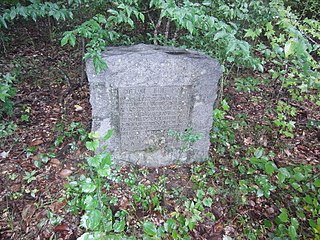
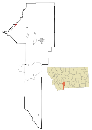
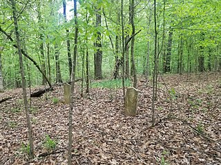
Cotton Gin Port is a ghost town in Monroe County, Mississippi, United States.

The Tennessee–Tombigbee Waterway is a 234-mile (377 km) artificial U.S. waterway built in the 20th century from the Tennessee River to the junction of the Black Warrior-Tombigbee River system near Demopolis, Alabama. The Tennessee–Tombigbee Waterway links commercial navigation from the nation's midsection to the Gulf of Mexico. The major features of the waterway are 234 miles (377 km) of navigation channels, a 175-foot-deep (53 m) cut between the watersheds of the Tombigbee and Tennessee rivers, and ten locks and dams. The locks are 9 by 110 by 600 feet, the same dimension as those on the Mississippi above Lock and Dam 26 at Alton, Illinois. Under construction for 12 years by the U.S. Army Corps of Engineers, the Tennessee–Tombigbee Waterway was completed in December 1984 at a total cost of nearly $2 billion.

Town Creek, also known as Old Town Creek or West Fork Tombigbee River, is a tributary stream of the Tombigbee River. Its mouth is approximately two miles east of Amory in northeast Mississippi.

The Aberdeen Lock and Dam is one of four lock and dam structures on the Tennessee-Tombigbee Waterway that generally lie along the original course of the Tombigbee River. It is located east of Aberdeen in Monroe County, Mississippi and impounds Aberdeen Lake.

The Golden Triangle (GTR) is a region in the east central portion of the U.S. state of Mississippi. The "triangle" is formed by the cities of Columbus, Starkville, and West Point but the region is often more broadly-defined to include all of Clay, Lowndes, and Oktibbeha counties and sometimes additional surrounding communities and counties as well. The term was used as a marketing strategy in the 1960s to promote economic development in the region and encourage additional cooperation between local communities in attracting investment, although the term was in use by 1939.
The Plum River is a tributary of the Mississippi River, about 46.6 miles (75.0 km) long, in northwestern Illinois in the United States. It rises in Jo Daviess County and flows generally south-southwestwardly into Carroll County, where it joins the Mississippi at Savanna. Among its several short tributaries are:
Bigbee is an unincorporated community in Monroe County, Mississippi.
Sipsey Fork is an unincorporated community in Monroe County, Mississippi. Sipsey Fork is located at 33°56′57″N88°14′37″W east of Splunge.
Plymouth was an early settlement in Mississippi in present-day Lowndes County. Plymouth was located at 33°31′23″N88°30′06″W on the west bank of the Tombigbee River. It was formed around 1819, developing around the fortified house of John Pitchlynn, the U.S. interpreter for the Choctaw Agency. The low-lying site of the village was prone to repeated flooding. While both Plymouth and its sister town of Columbus across the river had high bluffs, Plymouth's landing site did not have easy access to the bluff heights. By the 1840s, the village site was abandoned, as most of the residents had moved across the river to the better site of Columbus.
The Sucarnoochee River is a river in Kemper County, Mississippi and Sumter County, Alabama. It originates at 32.69877°N 88.48470°W, near Porterville, Mississippi, and discharges into the Tombigbee River at 32.42322°N 88.04564°W. It is 49.5 miles (79.7 km) long and drains an area of 607 square miles (1,570 km2).
Vienna is an unincorporated community about 6 miles from Mississippi in Pickens County, Alabama, United States. It was a prosperous river port from the 1830s until the American Civil War, situated along the eastern shore of the Tombigbee River on the southwestern border of the county. It declined rapidly in importance with the building of a railroad through Pickens County following the war. In 1917 the post office closed and this marked the end of Vienna's official status as a town.
Oak Slush Creek is a stream in the U.S. state of Mississippi. It is a tributary of the Tombigbee River.
The Tombigbee District, also known as the Tombigbee, was one of two areas, the other being the Natchez District, that were the first in what was West Florida to be colonized by British subjects from the Thirteen Colonies and elsewhere. This later became the Mississippi Territory as part of the United States. The district was also the first area to be opened to white settlement in what would become the state of Alabama, outside of the French colonial outpost of Mobile on the Gulf Coast. The Tombigbee and Natchez districts were the only areas populated by whites in the Mississippi Territory when it was formed by the United States in 1798.
References
- U.S. Geological Survey Geographic Names Information System: Tombigbee River. Retrieved 14 June 2005.
Coordinates: 33°58′28″N88°31′21″W / 33.974426°N 88.522439°W