Emirleryenicesi | |
|---|---|
 Emirleryenicesi Location in Turkey 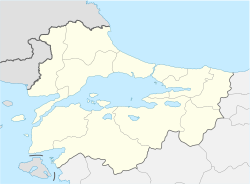 Emirleryenicesi Emirleryenicesi (Marmara) | |
| Coordinates: 40°19′N28°37′E / 40.317°N 28.617°E | |
| Country | Turkey |
| Province | Bursa |
| District | Mudanya |
| Population (2022) | 106 |
| Time zone | UTC+3 (TRT) |
Emirleryenicesi is a neighbourhood in the municipality and district of Mudanya, Bursa Province in Turkey. [1] Its population is 106 (2022). [2]