Geography
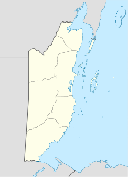
The town is located on the George Price Highway (Western Highway) east of San Ignacio/Santa Elena on the way to Central Farm and Georgeville to the east [2] . Red Creek flows into the Belize River northwest of the town. In recent years, Esperanza has experienced residential expansion and land development projects. In 2023, the first phase of distributing 500 new lots to residents was launched under a local government initiative to encourage community growth and formal settlement.. Many of these lots are being marketed as rural residential parcels just off the George Price Highway, with access to utilities and proximity to schools and churches, reflecting the village’s transition toward a more suburban character. Additionally, near Esperanza is the Beachy Mennonite congregation formerly known as “Homestead Acres,” which was initially established as a mission in the 1970s and now functions as a local religious and agricultural community, including poultry operations. [3] [4]
This page is based on this
Wikipedia article Text is available under the
CC BY-SA 4.0 license; additional terms may apply.
Images, videos and audio are available under their respective licenses.
