The Boké Region is located in western Guinea. It is bordered by the countries of Senegal and Guinea-Bissau and the Guinean regions of Kindia and Labé. Its capital is the city of Boké.

The Labé Region is located in north-central Guinea. It is bordered by the countries of Senegal and Mali and the Guinean regions of Faranah, Kindia, Mamou, and Boké.

Nionsomoridou is a town and sub-prefecture in the Beyla Prefecture in the Nzérékoré Region of south-eastern Guinea.
Konindou is a town and sub-prefecture in the Dabola Prefecture in the Faranah Region of Guinea. As of 2014 it had a population of 10,006 people.
Koropara is a town and sub-prefecture in the Nzérékoré Prefecture in the Nzérékoré Region of Guinea.
Yalenzou is a town and sub-prefecture in the Nzérékoré Prefecture in the Nzérékoré Region of Guinea.It is located southeast of Nzérékoré along the N2 road. The town of Nzao lies between Yalenzou and Nzérékoré.
Diatiféré is a town and sub-prefecture in the Dinguiraye Prefecture in the Faranah Region of western Guinea. As of 2014 it had a population of 33,729 people.
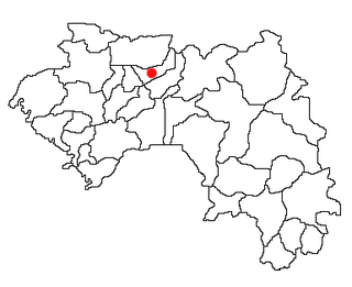
Songoyah is a town and sub-prefecture in the Faranah Prefecture in the Faranah Region of Guinea. As of 2014 it had a population of 13,422 people.
Banguingny is a town and sub-prefecture in the Fria Prefecture in the Boké Region of western Guinea. As of 2014 it had a population of 8,684 people.
Tormelin is a town and sub-prefecture in the Fria Prefecture in the Boké Region of western Guinea. As of 2014 it had a population of 12,313 people.
Termessadou-Dibo is a town and sub-prefecture in the Guéckédou Prefecture in the Nzérékoré Region of south-western Guinea.
Saréboido is a town and sub-prefecture in the Koundara Prefecture in the Boké Region of northern Guinea. As of 2014 it had a population of 33,700 people.
Baro is a town and sub-prefecture in the Kouroussa Prefecture, Kankan Region, of eastern-central Guinea. As of 2014 it had a population of 15,578 people.
Balaya is a town and sub-prefecture in the Lélouma Prefecture in the Labé Region of northern-central Guinea.
Panziazou is a town and sub-prefecture in the Macenta Prefecture in the Nzérékoré Region of south-eastern Guinea.
Vassérédou is a town and sub-prefecture in the Macenta Prefecture in the Nzérékoré Region of south-eastern Guinea.
Faralako is a town and sub-prefecture in the Mandiana Prefecture in the Kankan Region of eastern Guinea. As of 2014 it had a population of 24,371 people.
Maléa is a town and sub-prefecture in the Siguiri Prefecture in the Kankan Region of northern Guinea.
Sinta is a town and sub-prefecture in the Télimélé Prefecture in the Kindia Region of western-central Guinea.
Tarihoye is a town and sub-prefecture in the Télimélé Prefecture in the Kindia Region of western-central Guinea.