Boké is the capital city of Boké Prefecture within the Boké Region of Lower Guinea near the border with Guinea-Bissau. It is also a sub-prefecture of Guinea. Located along the Rio Nuñez which flows to its not-too-distant mouth on the Atlantic Ocean, Boké is a port. It is known for the Fortin de Boké museum, formerly a slave fort. The town is served by Boké Baralande Airport. As of 2014 the city and surrounding sub-prefecture had a population of 61,449 people.

Kissidougou is a prefecture located in the Faranah Region of Guinea. The capital is Kissidougou. The prefecture covers an area of 8,300 km.² and has a population of 283,609.

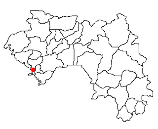
The Kindia Region is located in western Guinea. It is bordered by the country of Sierra Leone and the Guinean regions of Conakry, Labé, Mamou, and Boké.
Koundara is a town in northwestern Guinea. It is the capital of Koundara Prefecture. The town is served by Sambailo Airport. As of 2014 it had a population of 27,433 people.
Karala is a town and sub-prefecture in the Beyla Prefecture in the Nzérékoré Region of south-eastern Guinea.
Beindou is a town and sub-prefecture in the Faranah Prefecture in the Faranah Region of Guinea. As of 2014 it had a population of 16,521 people.
Tormelin is a town and sub-prefecture in the Fria Prefecture in the Boké Region of western Guinea. As of 2014 it had a population of 12,313 people.
Kakony is a town and sub-prefecture in the Gaoual Prefecture in the Boké Region of north-western Guinea. As of 2014 it had a population of 33,204 people.
Malanta is a town and sub-prefecture in the Gaoual Prefecture in the Boké Region of north-western Guinea. As of 2014 it had a population of 14,300 people.
Balandougou is a town and sub-prefecture in the Kankan Prefecture in the Kankan Region of eastern Guinea. As of 2014 it had a population of 27,554 people.
Missamana is a town and sub-prefecture in the Kankan Prefecture in the Kankan Region of eastern Guinea. As of 2014 it had a population of 18,059 people.
Sabadou-Baranama is a town and sub-prefecture in the Kankan Prefecture in the Kankan Region of eastern Guinea. As of 2014 it had a population of 23,159 people.
Fermessadou-Pombo is a town and sub-prefecture in the Kissidougou Prefecture in the Faranah Region of Guinea. As of 2014 it had a population of 19,489 people.
Damaro is a town and sub-prefecture in the Kérouané Prefecture in the Kankan Region of south-eastern Guinea. As of 2014 it had a population of 27,422 people.
Kouankan is a town and sub-prefecture in the Macenta Prefecture in the Nzérékoré Region of south-eastern Guinea
Sérédou is a town and sub-prefecture in the Macenta Prefecture in the Nzérékoré Region of south-eastern Guinea.
Fougou, Guinea is a town and sub-prefecture in the Mali Prefecture in the Labé Region of northern Guinea.
Kolangui is a town and sub-prefecture in the Tougué Prefecture in the Labé Region of northern-central Guinea.
Santou is a town and sub-prefecture in the Télimélé Prefecture in the Kindia Region of western-central Guinea.
Bignamou is a town and sub-prefecture in the Yomou Prefecture in the Nzérékoré Region of south-eastern Guinea.