
Farm to Market Road 973 is a farm-to-market road in Travis and Williamson counties in the U.S. state of Texas.

Farm to Market Road 1125 is a farm to market road that connects the farming areas of northern Jack County and southern Montague County with Bowie, Texas.

Farm to Market Road 171 is a farm to market road in Wichita and Clay counties, Texas.
Farm to Market Road 175 is a farm to market road in Jack and Clay counties, Texas.

Farm to Market Road 810 is a farm to market road in northern Clay County, Texas.
State Highway 186 is a state highway located in the Rio Grande Valley of the U.S. state of Texas. The route connects US 281 to the Gulf of Mexico at Port Mansfield.
State Highway 315 is a state highway in Texas that runs from Mount Enterprise northeast to Carthage.

Farm to Market Road 363 (FM 363) is a 15.262-mile (24.562 km) farm to market road in the U.S. state of Texas.
Farm to Market Road 170 is a 114.6-mile (184.4 km) highway maintained by the Texas Department of Transportation (TxDOT) in Presidio and Brewster counties in Texas. The route, known locally as the River Road, runs along the United States side of the Rio Grande which in Texas forms the international boundary between the U.S. and Mexico. The road runs from Candelaria through the city of Presidio as well as several smaller communities and former settlements to State Highway 118 in Study Butte near Big Bend National Park. The road also passes through the southern portion of Big Bend Ranch State Park.

Farm to Market Road 2004 is a farm to market road in Brazoria and Galveston counties, Texas.
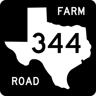
Farm to Market Road 344 is a 18.126-mile (29.171 km) farm to market road located in Smith County, Texas.
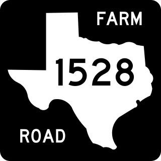
Farm to Market Road 1528 is a farm-to-market road located in the western and central portions of Delta County in the U.S. state of Texas. The highway is approximately 11.4 miles (18.3 km) in length, and travels through mainly rural portions of Delta County. The roadway begins at an intersection with FM 64 in the community of Antioch. The highway proceeds southward, passing through the former community of Gough, before bending east. The highway proceeds east, running concurrently with State Highway 24 for a short distance. The road travels northeast, parallel to Cooper Lake, before bending north and entering Cooper, where it terminates at SH 154.

Ranch to Market Road 187 (RM 187) is an 81.9-mile (131.8 km) Ranch to Market Road located in Zavala, Uvalde, Bandera, and Kerr counties in the US state of Texas. The route passes through the cities of Sabinal, Utopia, and Vanderpool. The road helps connect several small south Texas ranches to major highways. RM 187 was first designated in 1945, and was extended three times during the 1940s. As of 2012, it is the longest Ranch to Market Road in the state of Texas.

Farm to Market Road 1938 (FM 1938) is a Farm to Market Road in the US state of Texas. The highway runs from State Highway 26 (SH 26) to FM 1709, in Tarrant County. While located in Westlake, FM 1938 is named Precinct Line Road. While located in Southlake, from the northern border of Southlake to its junction with FM 1709, FM 1938 is named Randol Mill Avenue, and from the FM 1709 intersection to its southern terminus, the highway is named Davis Boulevard. FM 1938 was designated in 1952, in Hockley County, but was cancelled and redesignated in 1955, at its modern location in Tarrant County. In 1995, the entire route of FM 1938 was redesignated as Urban Road 1938 by the Texas Department of Transportation (TxDOT). FM 1938 passes through central North Richland Hills and Southlake, providing access to several businesses. As of 2012, FM 1938 is in the process of being extended from an intersection with FM 1709 to the north frontage road of SH 114.

Farm to Market Road 869 is a Farm to Market Road in the U. S. state of Texas maintained by the Texas Department of Transportation (TxDOT). The road, located in central Reeves County, connects State Highway 17 with Interstate 20 (I-20) to the north bypassing the city of Pecos. The road has an intersection with FM 1934.

Farm to Market Road 1450 is a Farm to Market Road in the U.S. state of Texas maintained by the Texas Department of Transportation (TxDOT). The road, located in southeastern Reeves and northern Pecos counties, begins at U.S. Route 285 near Pecos and intersects FM 1776, State Highway 18, and Ranch to Market Road 2593 before terminating at FM 1053. The route number was formerly designated over a road in Freestone County.

Farm to Market Road 1053 (FM 1053) is a Farm to Market Road in the U.S. state of Texas maintained by the Texas Department of Transportation (TxDOT). The road, located in Pecos, Crane, and Ector counties, begins along the concurrent routes of Business Interstate 10-G, U.S. Route 285 (US 285), and U.S. Route 385 (US 385) in the city of Fort Stockton and continues to the north ending at Interstate 20 (I-20) near Penwell. The road passes through the towns of Imperial, where it intersects FM 11, and Tubbs Corner, where it crosses State Highway 329 (SH 329). The road also has major intersections with I-10 / US 67 in Fort Stockton as well as FM 1450 and FM 1233.

