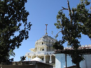
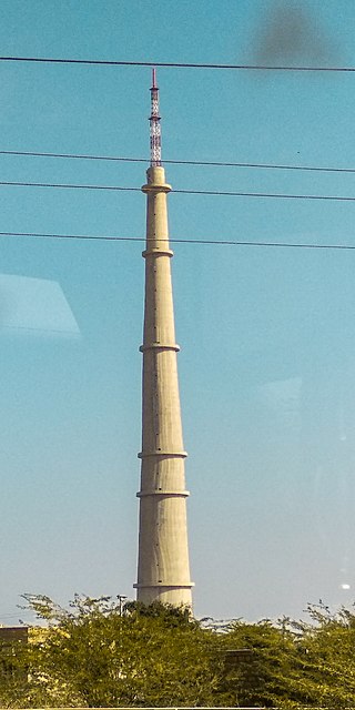
Khaira is a village in Ludhiana district in the Indian state of Punjab.

Jind district is one of the 22 districts of Haryana state in northern India. Jind town is the administrative headquarters of the district. It is part of Hisar Division and was created in 1966.

Patiala district is one of the twenty three districts in the state of Punjab in north-west India.

Farrukhabad is a city in the Indian state of Uttar Pradesh. It is the administrative headquarters of the Farrukhabad tehsil. The city is on the banks of river Ganges and is 295 kilometres (183 mi) from the national capital Delhi and 210 kilometres (130 mi) from the state capital Lucknow.

Bikaner District is a district of the state of Rajasthan in western India. The historic city of Bikaner is the district headquarters. The district is located in Bikaner Division along with the three other districts of Churu, Sri Ganganagar and Hanumangarh.

Jodhpur District is a district in the State of Rajasthan in western India. The city of Jodhpur is the administrative headquarters of the district.

Sirohi District is a district of Rajasthan state in western India. The city of Sirohi is the district headquarters.

Jaisalmer district is the largest district in the Indian state of Rajasthan, and the third largest district in India. Located in Marwar, the city of Jaisalmer is the administrative headquarters of the district. It is around 289 km (180 mi) from the city of Jodhpur, and around 559 km (347 mi) from Jaipur, the capital of Rajasthan. As of the 2011 population census, it is the least populous district out of all 33 districts in Rajasthan.

Rupnagar district is one of twenty-two districts in the state of Punjab, India. The city of Rupnagar is said to have been founded by a Raja called Rokeshar, who ruled during the 11th century and named it after his son Rup Sen. It is also the site of an ancient town of the Indus Valley civilization. The major cities in Rupnagar District are Morinda, Nangal and Anandpur Sahib. Morinda is also known as Baghwāla "[The City] of Gardens." Morinda is located on the Chandigarh-Ludhiana Highway. The Bhakra Dam in Nangal lies on the boundary with the neighboring state of Himachal Pradesh. Dadhi is one of the most important villages of the district, particularly because of Gurudwara Sri Hargobindsar Sahib.
Balachaur is a town in Balachaur Tehsil in the Shaheed Bhagat Singh Nagar District of Punjab, India.

Fatehgarh Sahib district is one of the twenty-three districts of the state of Punjab, India, with its headquarters in the town of Fatehgarh Sahib.
Singriwala is a village in Hoshiarpur district, in Punjab, India.
Nandpur Kalaur is a conurbation of two villages in Bassi Pathana Tehsil in Fatehgarh Sahib District in Punjab State in India. The two villages are administrated separately but are physically contiguous with the main demarcation between them being the Bassi Pathana Road which passes between them.
Chelak is the village of Jaisalmer district from Rajasthan. this is situated in South basiya area of jaisalmer which is formally known for the brave bhati clan of rajput.
Kala Afghana is a village in Batala tehsil located in Gurdaspur district of Punjab State, India. It is 15 kilometres (9.3 mi) from sub district headquarter which is Batala and 55 kilometres (34 mi) from district headquarter and 12 kilometres (7.5 mi) from Sri Hargobindpur. The village is administrated by a Sarpanch, an elected representative of the village. The village is about 5 km from Dhianpur and about 10 km from Fatehgarh Churian.
Fatehgadh is a village located in Narvaw Baramulla tehsil of Baramulla district, Jammu and Kashmir.

Ramgarh is a village located in Jaisalmer district of Rajasthan in India. It comes under Jaisalamer tehsil. Ramgarh is 52 km west of the district headquarters Jaisalmer.
Hansali Sahib village is located in the tehsil of Fatehgarh Sahib in Fatehgarh Sahib district in the state of the Punjab, India. It is situated 11.5 km (7.1 mi) away from Fatehgarh Sahib, which is both district and sub-district headquarters for Hansali village. Governance of the village is by gram panchayat. The total geographical area of Hansali is 278 hectares. Fatehgarh Sahib is also the nearest town to Hansali.
Abhainagar is a village located in the Jaisalmer district of the Indian state of Rajasthan. It is located in Jaisalmer tehsil. It is situated 22 km east of the district headquarters in Jaisalmer, and 546 km away from the capital Jaipur.
Dangri is a village and Gram Panchayat in Fatehgarh tehsil of Jaisalmer district of Rajasthan state in India. It is situated 85 km away from district headquarter Jaisalmer. Dangri has a total population of 2,384 peoples according to Census 2011.


