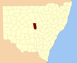
Cumberland County is a county in the State of New South Wales, Australia. Most of the Sydney metropolitan area is located within the County of Cumberland.

Gloucester County was one of the original Nineteen Counties in New South Wales, and is now one of the 141 cadastral divisions of New South Wales. It includes the area around Port Stephens. It is bounded on the north and west by the Manning River, and on the south-west by the Williams River.

Yancowinna County is one of the 141 cadastral divisions of New South Wales.
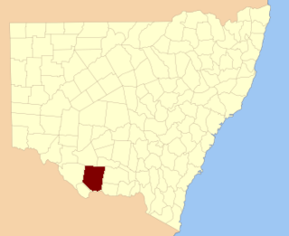
Townsend County is one of the 141 cadastral divisions of New South Wales. It is in the south of New South Wales with the Murray River to the south. Deniliquin is located there.
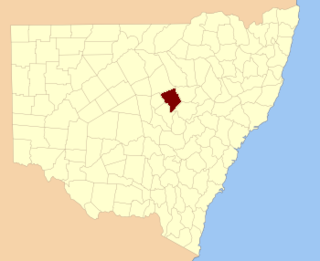
Ewenmar County is one of the 141 cadastral divisions of New South Wales. It is located between the Macquarie River on the west and the Castlereagh River on the east, between Warren and Gilgandra. The name derives from a local Aboriginal word.

Gowen County is one of the 141 cadastral divisions of New South Wales. It is located to the east of the Castlereagh River in the area to the east of Gilgandra, to Coonabarabran in the north-east. This includes land on both sides of the Newell Highway.
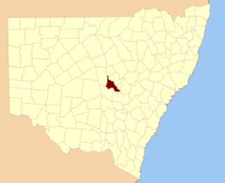
Kennedy County is one of the 141 cadastral divisions of New South Wales. It is located to the west of the Bogan River in the area around Tottenham and Tullamore.

Kilfera County is one of the 141 cadastral divisions of New South Wales. Hatfield is located there.

Landsborough County is one of the 141 cadastral divisions of New South Wales. It is located to the north-west of the Darling River.

Menindee County is one of the 141 cadastral divisions of New South Wales. It is located between the Darling River and the South Australian border. Menindee is at its north-eastern edge. The Menindee Lakes are located there.

Narromine County is one of the 141 cadastral divisions of New South Wales. It is located between the Bogan River on the west and the Macquarie River on the east, in the area around Narromine.

Oxley County, New South Wales is one of the 141 cadastral divisions of New South Wales. It is located between the Bogan River on the west, and the Macquarie River on the east. This is the area approximately between Warren and Nyngan.

Rous County is one of the 141 cadastral divisions of New South Wales. It is located at the north-east tip of the state. It is bordered on the north by the border with Queensland and on the south by the Richmond River. It contains Lismore, Byron Bay and Murwillumbah. Note that Rous County should not be confused with Rous County Council, which despite the common name is a legally distinct entity, covering a separate geographical area, the Rous county district.
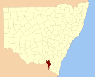
Selwyn County is one of the 141 cadastral divisions of New South Wales. It is located to the east of the Murray River, with part of the Tumut River as its boundary to the north-east. It includes Mount Kosciuszko, the highest mountain in Australia.

Thoulcanna County is one of the 141 cadastral divisions of New South Wales. It is located south of the border with Queensland, to the west of the Paroo River near Wanaaring in the Bourke Shire.

Tongowoko County is one of the 141 cadastral divisions of New South Wales. It is located in the remote north-west of the state, south of the Queensland border.
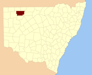
Ularara County is one of the 141 cadastral divisions of New South Wales. It is located to the west of the Paroo River.

Windeyer County is one of the 141 cadastral divisions of New South Wales. It is located between the Darling River and the border with South Australia. The Silver City Highway runs through it. Coombah Roadhouse is located there.

Young County is one of the 141 cadastral divisions of New South Wales. It includes the area to the west of Wilcannia. The Darling River is the south-eastern boundary.

The County of Flinders is a county in Queensland, Australia, located in the Central Queensland region between Gladstone and Bundaberg. The county is divided into civil parishes. It was named for Matthew Flinders who explored the Australian coastline.
