Foughala sidi bouzid | |
|---|---|
Commune and town | |
 | |
| Country | |
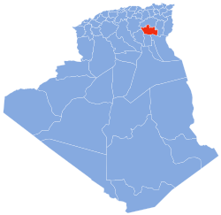
| Province | Biskra Province |
| Population (1998) | |
• Total | 25,645 |
| Time zone | UTC+1 (CET) |
Foughala is a town and commune in Biskra Province, Algeria. According to the 1998 census, it had a population of 9,713. [1]