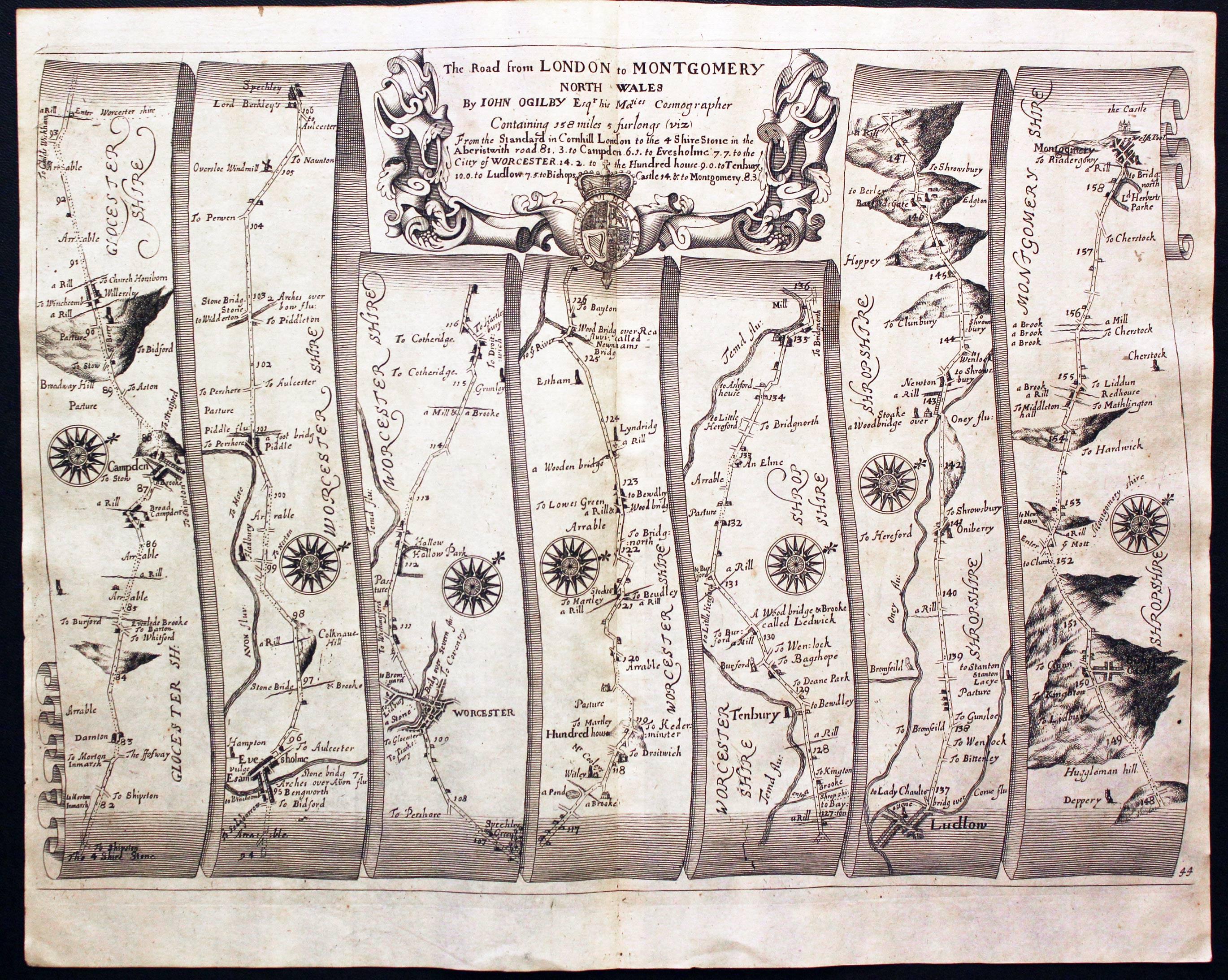
Four Shire Stone

Last updated

Four Shire Stone
Four-Shire Stone 2013-09-18.jpg
The Four Shire Stone at the meeting point of Warwickshire, Oxfordshire, Gloucestershire, and formerly also Worcestershire
Four Shire Stone
51°59′14.96″N1°39′56.65″W / 51.9874889°N 1.6657361°W / 51.9874889; -1.6657361
MaterialStonework
Height9 feet

The Four Shire Stone is a boundary marker that marks the place where the four historic English counties of Warwickshire, Oxfordshire, Gloucestershire, and Worcestershire once met. Since 1931, with a change to the boundaries of Worcestershire, only three of the counties meet at the stone.

Contents

Boundary marker

The Four Shire Stone is not a single stone, but a nine-foot high monument, built from the local Cotswold stone. It is in the English midlands at the northern corner of a T junction on the A44 road, a mile and a half east of the small town of Moreton-in-Marsh (which has the closest railway station), at 51°59′15″N1°39′57″W / 51.98750°N 1.66583°W / 51.98750; -1.66583 (Four Shire Stone) , grid reference SP2301432023. The existing structure was probably built in the 18th century, and is a grade II listed building. [1] There was an earlier "4 Shire Stone" on or near the site in 1675, almost certainly that illustrated in 1660. [2] [3] Thomas Habington's Survey of Worcestershire mentions "the stone which toucheth four sheeres, a thing rarely scene". [4]

Five (formerly seven) civil parishes meet at the stone: [5]

Most of Worcestershire is to the north-west of the stone. Thus the order of the four counties around the stone was different from what one might expect from a map of England. The stone ceased to be the meeting-point of four shires in 1931, when Evenlode was transferred to Gloucestershire, so since that date only three counties meet at the stone. [8]

The J. R. R. Tolkien Society claims that the Four Shire Stone inspired the "Three-Farthing Stone" in J. R. R. Tolkien's book The Lord of the Rings . In that work, the Shire, the homeland of the hobbits is divided into four farthings, three of which meet at the "Three-Farthing Stone". [9] [10]

2022 restoration

The failing state of this unique bit of local history inspired James Hayman-Joyce, a local, semi-retired chartered surveyor, to do what he could to restore it. He formed the Four Shire Stone Restoration Committee with the aim of raising £20,000 to restore the Four Shire Stone to its former glory. The project comprises restoring and repairing the stonework, replacing the railings and enhancing the engravings on all four sides of the pillar. [12]

See also

Notes

  1. Because of an error in the printing, the salient of Oxfordshire that extends to the stone appears in mauve rather than the violet of the rest of Oxfordshire.

Related Research Articles

<span class="mw-page-title-main">Cotswolds</span> Protected area mostly in South West England

The Cotswolds is a region in central South West England, along a range of rolling hills that rise from the meadows of the upper River Thames to an escarpment above the Severn Valley, Bath and Evesham Vale. The area is defined by the bedrock of Jurassic limestone that creates a type of grassland habitat rare in the UK and that is quarried for the golden-coloured Cotswold stone. The predominantly rural landscape contains stone-built villages, towns, stately homes and gardens featuring the local stone.

<span class="mw-page-title-main">Moreton-in-Marsh</span> Town in Gloucestershire, England

Moreton-in-Marsh is a market town in the Evenlode Valley, within the Cotswolds district and Area of Outstanding Natural Beauty in Gloucestershire, England.

<span class="mw-page-title-main">Cotswold District</span> Non-metropolitan district in England

Cotswold is a local government district in Gloucestershire, England. It is named after the wider Cotswolds region and range of hills. The council is based in the district's largest town of Cirencester. The district also includes the towns of Chipping Campden, Fairford, Lechlade, Moreton-in-Marsh, Northleach, Stow-on-the-Wold and Tetbury, along with numerous villages and surrounding rural areas.

<span class="mw-page-title-main">Cotswold Line</span> Railway line between Oxford and Hereford

The Cotswold Line is an 86+12-mile (139.2 km) railway line between Oxford and Hereford in England.

<span class="mw-page-title-main">No Man's Heath, Warwickshire</span> Human settlement in England

No Man's Heath is an area of the civil parish of Newton Regis, in the North Warwickshire district, in the county of Warwickshire, England, about 6 miles (9.7 km) northeast of Tamworth. It is near the boundaries of four English counties: Derbyshire, Leicestershire, Warwickshire and Staffordshire. Nearby in the late 19th century were Netherseal Colliery and Netherseal Hall. Today a small village exists here, also called No Man's Heath, which is the northernmost settlement in Warwickshire. No-Mans-Heath was formerly an extra-parochial tract, in 1858 No Mans Heath became a separate civil parish, on 24 March 1888 the parish was abolished and merged with Newton Regis. In 1881 the parish had a population of 70. The county boundary which used to divide the village between Leicestershire and Warwickshire has been re-drawn on 1 April 1965 to place the whole village in Warwickshire.

A Three Shire Stone is a monument marking the point where three shires meet. The term is mostly used in England.

<span class="mw-page-title-main">River Evenlode</span> River in Gloucestershire and Oxfordshire, England

The River Evenlode is a tributary of the Thames in Oxfordshire. It rises near Moreton-in-Marsh, Gloucestershire, in the Cotswold Hills and flows south-east to the Thames, its valley providing the route of the southern part of the Cotswold Line. The river flows for 45 miles (72 km) from source to the River Thames.

<span class="mw-page-title-main">Batsford</span> Human settlement in England

Batsford is a village and civil parish in the Cotswold district of Gloucestershire, England. The village is about 1½ miles north-west of Moreton-in-Marsh. There is a falconry centre close to the village and Batsford Arboretum is nearby, situated on the Cotswold escarpment.

<span class="mw-page-title-main">Counties (Detached Parts) Act 1844</span> United Kingdom legislation

The Counties Act 1844, which came into effect on 20 October 1844, was an Act of Parliament of the United Kingdom which eliminated many outliers or exclaves of counties in England and Wales for civil purposes. The changes were based on recommendations by a boundary commission, headed by the surveyor Thomas Drummond and summarized in a schedule attached to the Parliamentary Boundaries Act 1832. This also listed a few examples of civil parishes divided by county boundaries, most of which were dealt with by later legislation.

<span class="mw-page-title-main">Guy Dawber</span> English architect (1861–1938)

Sir Edward Guy Dawber, RA was an English architect working in the late Arts and Crafts style, whose work is particularly associated with the Cotswolds.

<span class="mw-page-title-main">Daylesford, Gloucestershire</span> Human settlement in England

Daylesford is a small, privately owned village and former civil parish, now in the parish of Adlestrop, in the Cotswold district, in the county of Gloucestershire, England, on the border with Oxfordshire. It is situated just south of the A436 two miles east of Stow-on-the-Wold and five miles west of Chipping Norton. The village is on the north bank of the small River Evenlode. This area falls within the Cotswold Hills Area of Outstanding Natural Beauty, so designated in 1966. In 1931 the parish had a population of 82.

<span class="mw-page-title-main">Campden Rural District</span>

Campden was, from 1894 to 1935, a rural district in the administrative county of Gloucestershire, England. The district lay on the north-eastern boundary of Gloucestershire, and consisted of three separate areas nearly surrounded by the counties of Warwickshire and Worcestershire. The county and district boundaries were simplified in 1931 and the district was abolished in 1935.

<span class="mw-page-title-main">North Cotswold Rural District</span>

North Cotswold was, from 1935 to 1974, a rural district in the administrative county of Gloucestershire, England.

<span class="mw-page-title-main">Stretton-on-Fosse</span> Village in Warwickshire, England

Stretton-on-Fosse is a village in the Stratford-on-Avon District in Warwickshire, England. It is situated between the towns of Moreton-in-Marsh and Shipston-on-Stour. The village is situated along the ancient Fosse Way road which runs from Exeter in Devon to Lincoln in Lincolnshire. The road bypasses the village to the east and is now the modern-day A429 road. The village is close to the Gloucestershire and Warwickshire border. While the lower ground of the village is heavy clay the upper parts are composed of sand and shingle. During commercial extraction of sand important graves of the Roman-British and Anglo-Saxon periods were uncovered and interesting skeletons and personal belongings were unearthed. These burials were the result of internecine warfare between local tribal factions.

Batsford Road, sometimes known as Moreton-in-Marsh Cricket Club Ground, is a cricket ground in Moreton-in-Marsh, Gloucestershire. The ground is located off the Batsford Road as it leaves Moreton-in-Marsh. It played host to first-class and List A cricket matches for Gloucestershire County Cricket Club between 1884 and 1996.

<span class="mw-page-title-main">Evenlode</span> Human settlement in England

Evenlode is a village and civil parish in the Cotswold District of eastern Gloucestershire in England.

<span class="mw-page-title-main">Todenham</span> Human settlement in England

Todenham is a village and civil parish in the Cotswold district of Gloucestershire, England. The village is significant for its Grade I listed 14th-century parish church.

<span class="mw-page-title-main">Church of St Leonard, Lower Lemington</span> Church

The Anglican Church of St Leonard at Lower Lemington in the parish of Batsford in the Cotswold District of Gloucestershire, England was built in the 12th century. It is a grade I listed building.

References

  1. "Four Shire Stone, British Listed Buildings" . Retrieved 8 May 2018.
  2. Ogilby, John (1675). Britannia Atlas. Richard Nicholson of Chester, map dealer. p. Plate 44. Retrieved 1 October 2013.
  3. Library, British (24 August 2020), The BL King's Topographical Collection: "An Orthographical Designe of Several Views Upon Ye Road, in England and Wales. " , retrieved 7 March 2021
  4. Abingdon, Thomas (1897). "Evenlode". In Amphlett, John (ed.). A survey of Worcestershire. Vol. 2 Pt.2. Oxford: James Parker for the Worcestershire Historical Society. p. 68.
  5. "Gloucestershire". Ordnance Survey Miscellaneous Boundary Maps. Vision of Britain. 1967. Retrieved 3 May 2018.; "Oxfordshire". Ordnance Survey Miscellaneous Boundary Maps. Vision of Britain. 1966. Retrieved 3 May 2018.; "Warwickshire". Ordnance Survey Maps of England and Wales. Vision of Britain. 1900. Retrieved 3 May 2018.
  6. "The Cotswold (Parishes) Order 1986" (PDF).
  7. "Gloucestershire". Ordnance Survey Sanitary Districts, showing Civil Parishes. Vision of Britain. 1888. Retrieved 3 May 2018.; Elrington, C. R., ed. (1965). "Parishes: Lower Lemington". Gloucester. Victoria County History. Vol. 6. London: British History Online. pp. 216–220. Retrieved 4 May 2018.
  8. "The Four Shire Stone Moreton-in-Marsh" . Retrieved 12 August 2013.
  9. "Moreton-in-Marsh Tourist Information and Travel Guide". cotswolds.info. Retrieved 12 August 2013.
  10. Hooker, Mark T. (2009). The Hobbitonian Anthology. Llyfrawr. pp. 98–99. ISBN   978-1448617012.
  11. British Library (24 August 2020), The BL King's Topographical Collection: "An Orthographical Designe of Several Views Upon Ye Road, in England and Wales" , retrieved 7 March 2021
  12. "Four Shire Stone Restoration Project" . Retrieved 6 April 2022.