
Porto Seguro, is a city located in the far south of Bahia, Brazil. The city has an estimated population of 150,658 (2020), covers 2,287 square kilometres (883 sq mi), and has a population density of 52.7 residents per square kilometer. The area that includes Porto Seguro and neighbouring Santa Cruz Cabrália and Eunápolis holds a distinctive place in Brazilian history: in 1500 it was the first landing point of Portuguese navigators, principally Pedro Álvares Cabral.
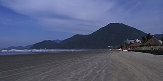
Peruíbe is a municipality in the state of São Paulo in Brazil. It is part of the Metropolitan Region of Baixada Santista. The population is 69,001 in an area of 324.55 square kilometres (125.31 sq mi). Peruíbe is located to the southwest of the city of São Paulo and west of Santos.

Conceição da Barra is a Brazilian municipality in the state of Espírito Santo. The city is the northernmost coastal city of the state. Its population was 31,273 (2020) and its area is 1,188.044 km².
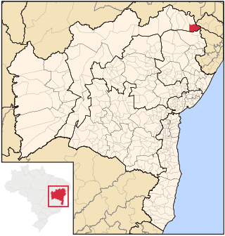
Paulo Afonso is a city in Bahia, Brazil. It was founded in 1958.

Assis Brasil is a municipality located in the south of the Brazilian state of Acre. Its population is 7,534 and its area is 4,974 square kilometres (1,920 sq mi).
Pau Brasil National Park is a national park in the state of Bahia, Brazil. It preserves a remnant of the Atlantic Forest biome.
Córrego do Veado Biological Reserve is a biological reserve in the municipality of Pinheiros, Espírito Santo, Brazil.
Córrego Grande Biological Reserve is a biological reserve spanning the boundary of Bahia and Espírito Santo, Brazil.

The Iriri River is a large tributary of the Xingu River in Brazil, in the state of Pará. It is 1,300 km (810 mi) long making it the 116th longest river in the world and the 15th longest in the Amazon basin. The headwaters are the traditional home of the Panará people.

The Jamanxim River is a river of Pará state in north-central Brazil. Originating in the Serra do Cachimbo, it is a tributary of the Tapajós, into which it flows a few kilometers upstream from Itaituba.

The Macacu River is a river of Rio de Janeiro state in southeastern Brazil.
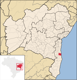
Una is a city in Bahia, Brazil. Its population in 2020 was 18,544 inhabitants. It is located about 36 mi (58 km) south from Ilheus.

Jeremoabo is a municipality in the state of Bahia in the North-East region of Brazil.

Novo Progresso is a municipality in the state of Pará in the Northern region of Brazil.
Serra do Cachimbo is a low mountain range in the southern part of the state of Pará, Brazil. It is located mostly in the municipalities of Altamira, Itaituba, Jacareacanga, and Novo Progresso.

Rio dos Sinos is a river in the state of Rio Grande do Sul, southern Brazil. It rises in the hills east of Caraá at elevations above 600 metres (2,000 ft) and covers a distance of about 190 kilometres (120 mi), flowing into the delta Jacuí in Canoas, at an elevation of only 5 metres (16 ft).
The Una River is a river of Bahia state in eastern Brazil. It discharges into the Atlantic Ocean between Canavieiras to the south and Ilhéus to the north.
The Una Wildlife Refuge is a wildlife refuge in the state of Bahia, Brazil.

The Rio dos Frades Wildlife Refuge is a wildlife refuge in the state of Bahia, Brazil. It protects the land around the mouth of the Frades River. There is pressure, or opportunity, to develop the reserve for tourism.
The Santa Cruz Wildlife Refuge is a wildlife refuge in the state of Espírito Santo, Brazil.
