Florence County is a county located in the U.S. state of Wisconsin. As of the 2010 census, the population was 4,423, making it the second-least populous county in Wisconsin. Its county seat is Florence.

Carlisle County is a county located in the U.S. state of Kentucky. As of the 2010 census, the population was 5,104, making it the fourth-least populous county in Kentucky. Its county seat is Bardwell. The county was founded in 1886 and named for John Griffin Carlisle, a Speaker of the United States House of Representatives from Kentucky. Carlisle County is a prohibition or dry county.

Quitman County is a county located in the U.S. state of Georgia. As of the 2010 census, the population was 2,513, making it the second-least populous county in Georgia. The county seat is Georgetown. The county was created on December 10, 1858 and named after General John A. Quitman, leader in the Mexican–American War, and once Governor of Mississippi. In November 2006, residents voted to consolidate the city government of Georgetown and the county government of Quitman into a consolidated city-county.
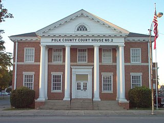
Polk County is a county located in the northwestern part of the U.S. state of Georgia. As of the 2010 census, the population was 41,475. The county seat is Cedartown. The county was created on December 20, 1851 by an act of the Georgia General Assembly and named after James K. Polk, the eleventh President of the United States.

Marion County is a county located in the U.S. state of Georgia. As of the 2010 Census reflected a population of 8,742. The county seat is Buena Vista. The county was created on December 14, 1827. The county was named for General Francis Marion of South Carolina.

Hart County is a county located in the U.S. state of Georgia. As of the 2010 census, the population was 25,213. The county seat is Hartwell.

Birds is an unincorporated community in Lawrence County, Illinois, United States. The population was 51 at the 2000 census, at which time it was a village. Birds disincorporated on April 7, 2009.

Altona is a town in Keyser Township, DeKalb County, Indiana, United States. The population was 197 at the 2010 census.

Uniondale is a town in Union and Rockcreek townships, Wells County, in the U.S. state of Indiana. The population was 310 at the 2010 census.

Graymoor-Devondale is a home rule-class city in Jefferson County, Kentucky, United States. The city is the result of the merger of the former cities of Graymoor and Devondale. The population was 2,870 at the 2010 census.
Valley Station is a former census-designated place in southwest Jefferson County, Kentucky, United States. The population was 22,946 at the 2000 census. When the government of Jefferson County merged with the city of Louisville, Kentucky in 2003, residents of Valley Station also became citizens of Louisville Metro. As a result, Valley Station is now a neighborhood within the city limits of Louisville. It was named for its location in the valley between Muldraugh Hill and the Knobs.

Jamestown is a home rule-class city in Russell County, Kentucky, in the United States. It is the seat of its county. The population was 1,624 at the 2000 U.S. census.

Williamston is a town in Martin County, North Carolina, United States. The population was 5,511 at the 2010 census. It is the county seat of Martin County., and is located in North Carolina's Inner Banks region. The closest major city is Greenville, approx. 28 mi to the southwest.

New Castle is the only town in Craig County, Virginia, United States. The population was 153 at the 2010 census. It is the county seat of Craig County.
Johnsontown is a neighborhood of Louisville, Kentucky located along Dixie Highway and Johnsontown Road.
Lake Louisvilla is a neighborhood partially located in Louisville, Kentucky. It is located between Westport Road in Louisville and KY 22 in Oldham County. Lake Louisvilla was developed in the 1920s as a summer resort for people living in the city of Louisville. The state of Kentucky drained the lake in the late 1980s due to safety concerns regarding the stability of a dam.

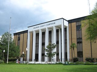
Chipola is an unincorporated community in Calhoun County, Florida, United States.
Fisher Corner is an unincorporated community in Calhoun County, Florida, United States. It is located on State Road 73.

New Hope is an unincorporated community in Washington County, Florida, United States. It is located on State Road 79.