The Patapédia River is a tributary of the Restigouche River in Northwest New Brunswick and Southeast Quebec, in Canada.

The Matapedia River is a river in the Matapedia Valley in the province of Quebec, Canada. It runs on 65 kilometres (40 mi) from Matapedia Lake down to the village of Matapédia where it empties into the left bank of Restigouche River on the provincial border of New Brunswick.

The Big Black River is a river crossing the administrative region of Chaudière-Appalaches in Quebec and in Maine. From its source, in L'Islet RCM, Quebec, the river runs northeast and east across the Canada–United States border in Maine Township 14, Range 16, WELS, to the Saint John River in Northwest Aroostook T 15, R 13.
The Daaquam River is a river primarily flowing in the administrative region of Chaudière-Appalaches, at South of Quebec in Canada and northern Maine, in United States. The river runs from its source, south of Sainte-Justine, northeast across the Canada–United States border to the Northwest Branch of the Saint John River in Maine.

The Northwest Branch Saint John River is a 15.5-mile-long (24.9 km) river primarily in Aroostook County, Maine, USA. Its origin is Frontier Lake (Quebec-Maine) in Quebec, Canada. After crossing the Canada–United States border, the Northwest Branch runs south close to the border until it picks up its tributary, the Daaquam River, which also flows out of Canada. The Northwest Branch then runs generally eastward to its confluence with the Southwest Branch to form the Saint John River.
The Southwest Branch Saint John River is a 62.0-mile-long (99.8 km) river in Maine and Quebec. The branch originates in "Little Saint John Lake" on the international boundary between Saint-Zacharie, Quebec and Seboomook Lake Township 5, Range 20, WELS. The branch forms the Canada–United States border as it flows northeasterly to a confluence with the Little Southwest Branch Saint John River in Seboomook Lake Township 9, Range 18, WELS. The Southwest Branch flows briefly into Quebec and then through Maine to its confluence with the Baker Branch Saint John River in Seboomook Lake Township 9, Range 17, WELS. The Southwest Branch finally joins with the Northwest Branch to form the Saint John River.

Lake Montauban is located in the municipality of Saint-Alban, in the Portneuf Regional County Municipality, in the administrative region of the Capitale-Nationale, in the Quebec, in Canada.

The ZEC Onatchiway is a "zone d'exploitation contrôlée" (zec) of 1,462 square kilometres (564 sq mi), located in the unorganized territory of Mont-Valin, in the Le Fjord-du-Saguenay Regional County Municipality, in the administrative region Saguenay-Lac-Saint-Jean, in Quebec, in Canada.
The ZEC du Lac-Brébeuf is a "zone d'exploitation contrôlée" (ZEC) of 434 square kilometres (168 sq mi), located partly in the unorganized territory Lalemant, in the MRC Le Fjord-du-Saguenay Regional County Municipality and also in the MRC Charlevoix-Est Regional County Municipality, in the administrative region of Saguenay-Lac-Saint-Jean, in Quebec, in Canada.
The Otter River is a tributary of the Northwest Branch Saint John River, flowing in Quebec (Canada) and in Maine. This river crosses the following administrative territories:

The Branche à Jerry is a tributary of the Baker River, flowing in Canada in:
The Eastern Lake is a lake crossing the Canada-US border located in:
The Boucanée River is a tributary of the lake Pohenegamook, flowing in the southern part of the Gaspé Peninsula, in the municipalities of Saint-Athanase, Quebec and Pohenegamook, Quebec, in Témiscouata Regional County Municipality (RCM), in the administrative region of Bas-Saint-Laurent, in Quebec, in Canada.
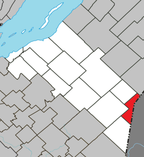
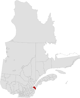
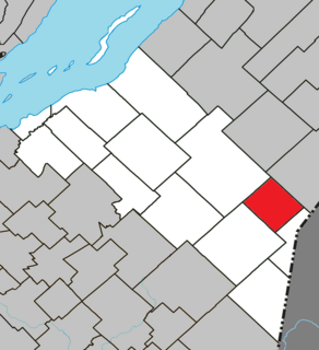
The East Patapédia River runs in the unorganized territory of Lac-des-Eaux-Mortes, Quebec, in La Matapedia Regional County Municipality (RCM), in the administrative region of Bas-Saint-Laurent, in Quebec, in Canada.
The Crocs River is a tributary of the Saint John River, in Quebec and New Brunswick, in Canada. The Crocs River flows in the southern part of the Gaspé Peninsula, across the following areas:

Olga Lake is a freshwater body crossed by the Waswanipi River and located in the southern part of Eeyou Istchee James Bay (municipality), in administrative region of the Nord-du-Québec, in the province of Quebec, in Canada.
The Lac au Goéland is a freshwater body of water crossed by the Waswanipi River and is located within Eeyou Istchee James Bay (municipality), within the administrative region of Nord-du-Québec, in the province of Quebec, in Canada.
The Chibougamau River flows west in the Chibougamau, then Eeyou Istchee James Bay (municipality) in the administrative region of Nord-du-Québec, Quebec, Canada.
The Eau Jaune Lake is a freshwater body of the Eeyou Istchee Baie-James, in Jamésie, in the administrative region of Nord-du-Québec, province of Quebec, in Canada. This lake extends entirely into the townships of Brongniart and Rasles.