Glumsø | |
|---|---|
Town | |
 Glumsø | |
 Glumsø 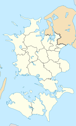 Glumsø | |
| Coordinates: 55°21′21″N11°41′15″E / 55.35583°N 11.68750°E | |
| Country | Denmark |
| Region | Region Zealand |
| Municipality | Næstved Municipality |
| Area | |
• Total | 1.4 km2 (0.5 sq mi) |
| Population (2024) | |
• Total | 2,221 |
| • Density | 1,600/km2 (4,100/sq mi) |
| Postal code | 4171 |
Glumsø is a railway town, with a population of 2,221 (1.January 2024), [1] located on the southern part of Zealand in Denmark. Until 1.January 2007 it was the seat of Suså Municipality.
Contents
Glumsø Station is located in Glumsø, serving the Sydbanen line. The station was heavily redesigned in late 2009. [2]
