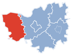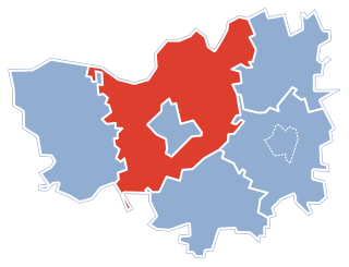
Cieciory is a village in the administrative district of Gmina Turośl, within Kolno County, Podlaskie Voivodeship, in north-eastern Poland. It lies approximately 15 kilometres (9 mi) south-west of Kolno and 97 km (60 mi) west of the regional capital Białystok.

Cieloszka is a village in the administrative district of Gmina Turośl, within Kolno County, Podlaskie Voivodeship, in north-eastern Poland. It lies approximately 17 kilometres (11 mi) west of Kolno and 104 km (65 mi) west of the regional capital Białystok.

Dudy Nadrzeczne is a village in the administrative district of Gmina Turośl, within Kolno County, Podlaskie Voivodeship, in north-eastern Poland. It lies approximately 11 kilometres (7 mi) west of Kolno and 98 km (61 mi) west of the regional capital Białystok.

Krusza is a village in the administrative district of Gmina Turośl, within Kolno County, Podlaskie Voivodeship, in north-eastern Poland. It lies approximately 17 kilometres (11 mi) west of Kolno and 102 km (63 mi) west of the regional capital Białystok.

Ksebki is a village in the administrative district of Gmina Turośl, within Kolno County, Podlaskie Voivodeship, in north-eastern Poland. It lies approximately 22 kilometres (14 mi) west of Kolno and 109 km (68 mi) west of the regional capital Białystok.

Łacha is a village in the administrative district of Gmina Turośl, within Kolno County, Podlaskie Voivodeship, in north-eastern Poland. It lies approximately 15 kilometres (9 mi) west of Kolno and 103 km (64 mi) west of the regional capital Białystok.

Nowa Ruda is a village in the administrative district of Gmina Turośl, within Kolno County, Podlaskie Voivodeship, in north-eastern Poland. It lies approximately 14 kilometres (9 mi) west of Kolno and 101 km (63 mi) west of the regional capital Białystok.

Popiołki is a village in the administrative district of Gmina Turośl, within Kolno County, Podlaskie Voivodeship, in north-eastern Poland. It lies approximately 11 kilometres (7 mi) west of Kolno and 98 km (61 mi) west of the regional capital Białystok.

Potasie is a village in the administrative district of Gmina Turośl, within Kolno County, Podlaskie Voivodeship, in north-eastern Poland. It lies approximately 14 kilometres (9 mi) west of Kolno and 99 km (62 mi) west of the regional capital Białystok.

Ptaki is a village in the administrative district of Gmina Turośl, within Kolno County, Podlaskie Voivodeship, in north-eastern Poland. It lies approximately 11 kilometres (7 mi) west of Kolno and 97 km (60 mi) west of the regional capital Białystok.

Pupki is a village in the administrative district of Gmina Turośl, within Kolno County, Podlaskie Voivodeship, in north-eastern Poland. It lies approximately 12 kilometres (7 mi) south-west of Kolno and 95 km (59 mi) west of the regional capital Białystok.

Samule is a village in the administrative district of Gmina Turośl, within Kolno County, Podlaskie Voivodeship, in north-eastern Poland. It lies approximately 11 kilometres (7 mi) west of Kolno and 97 km (60 mi) west of the regional capital Białystok.

Szablaki is a village in the administrative district of Gmina Turośl, within Kolno County, Podlaskie Voivodeship, in north-eastern Poland. It lies approximately 11 kilometres (7 mi) west of Kolno and 98 km (61 mi) west of the regional capital Białystok.

Trzcińskie is a village in the administrative district of Gmina Turośl, within Kolno County, Podlaskie Voivodeship, in north-eastern Poland. It lies approximately 13 kilometres (8 mi) west of Kolno and 99 km (62 mi) west of the regional capital Białystok.

Turośl is a village in Kolno County, Podlaskie Voivodeship, in north-eastern Poland. It is the seat of the gmina called Gmina Turośl. It lies approximately 15 kilometres (9 mi) west of Kolno and 102 km (63 mi) west of the regional capital Białystok.

Zimna is a village in the administrative district of Gmina Turośl, within Kolno County, Podlaskie Voivodeship, in north-eastern Poland. It lies approximately 19 kilometres (12 mi) west of Kolno and 108 km (67 mi) west of the regional capital Białystok.

Leman is a village in the administrative district of Gmina Turośl, within Kolno County, Podlaskie Voivodeship, in north-eastern Poland. It lies approximately 19 kilometres (12 mi) west of Kolno and 108 km (67 mi) west of the regional capital Białystok.


