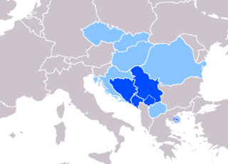
The Moravica District is one of eight administrative districts of Šumadija and Western Serbia. It is located in the central and south-western parts of Serbia. The name Moravica, derivatives from the river of Moravica, which forms the West Morava, both passing through the district. According to the 2011 census results, it had a population of 212,603. The administrative center of the Moravica district is the city of Čačak.

The Raška District is one of eight administrative districts of Šumadija and Western Serbia. It expands to the south-western part of the country. According to the 2011 census results, it has a population of 309,258 inhabitants. The administrative center of the Raška district is Kraljevo.

Kalenić monastery is an important Serbian Orthodox monastery near Rekovac in central Serbia. It was built by protovestiarios Bogdan in the early 15th century (1407-1413). Village of Kalenićki Prnjavor lies nearby.

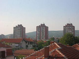
Raška is a town and municipality located in the Raška District of southwestern Serbia. The municipality has a population of 24,680 people, while the town has a population of 6,574 people. It covers an area of 670 km². The town is situated on the rivers Raška and Ibar.
Pantelej is one of five city municipalities which constitute the city of Niš. The municipality has a population of 79,290 inhabitants, according to the 2011 census results.
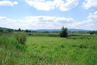
Drijetanj is a village located in the Užice municipality of Serbia. In the 2002 census, the village had a population of 1092.

Semeteš is a town in Serbia. It is part of the municipality and district of Raška in south-western Serbia.
Radejna is a village in the municipality of Dimitrovgrad, Serbia. According to the 2002 census, the village has a population of 87 people.

Prijevor is a village in the municipality of Čačak, Serbia. According to the 2011 census, the villagehas a population of 1603 people.
Brezova is a village in the municipality of Ivanjica, Serbia. According to the 2011 census, the village has a population of 483 inhabitants.
Dobri Do is a village in the municipality of Ivanjica, Serbia. According to the 2011 census, the village has a population of 244 inhabitants.

Katići is a village in the municipality of Ivanjica, Serbia. According to the 2011 census, the village has a population of 113 inhabitants.
Kosovica is a village in the municipality of Ivanjica, Serbia. According to the 2011 census, the village has a population of 159 inhabitants.
Kovilje is a village in the municipality of Ivanjica, Serbia. According to the 2011 census, the village has a population of 18 inhabitants. It is situated between Mountains Golija and Javor in central Serbia.
Šarenik is a village in the municipality of Ivanjica, Serbia. According to the 2011 census, the village has a population of 467 inhabitants.
Velika humka is an archeological site and settlement near Pilatovići, Požega municipality, Serbia.

The Bisenzio is a 49-kilometer-long river in the municipality of Cantagallo. It flows into the Arno river in Signa (Florence). It flows through the city of Prato and the Santa Lucia weir and the hydroelectric dam in Madonna della Tosse.

Stara Pavlica is a medieval Serbian Orthodox monastery located in Pavlica, Raška, in south Serbia on a rocky plateau above the Ibar River, six kilometres north of the town of Raška.
Tell Elkarame is a Syrian village located in Al-Dana Nahiyah in Harem District, Idlib. According to the Syria Central Bureau of Statistics (CBS), Tell Elkarame had a population of 3785 in the 2004 census.