
Route 124 is a state highway in the northern part of New Jersey in the United States that is 14.74 mi (23.72 km) long. It is the eastern section of what used to be Route 24 before that road was realigned to its current freeway alignment. The western end is at an intersection with U.S. Route 202 (US 202) and County Route 510 (CR 510) in Morristown, Morris County; the eastern end continues as CR 603 on Springfield Avenue at the border between Maplewood and Irvington in Essex County. The route runs through suburban areas of Morris County, passing through Madison and Chatham. It interchanges with Route 24 on the border of Millburn, Essex County and Summit, Union County and serves as a frontage road for that route. Upon splitting from Route 24, Route 124 continues east through Springfield Township, Union Township, and Maplewood to its eastern terminus.

Thomas Guide is a series of paperback, spiral-bound atlases featuring detailed street maps of various large metropolitan areas in the United States, including Boise, Las Vegas, Los Angeles, Oakland, Phoenix, Portland, Reno-Tahoe, Sacramento, San Francisco, Seattle, Tucson, and Baltimore-Washington metropolitan area. Road Atlas titles are Arizona including Las Vegas, California Including portions of Nevada, and Pacific Northwest covering Washington, Oregon, Western Idaho, Southwestern British Columbia. The map books are usually arranged by county; for example, separate Thomas Guides have been published for Los Angeles County and San Diego County. There are also guides that will have two or three counties combined, or guides that cover a metropolitan area. Each guide has a detailed index of streets and points of interest, as well as arterial maps for easy page location.
Rand McNally is an American technology and publishing company that provides mapping, software and hardware for consumer electronics, commercial transportation and education markets. The company is headquartered in Chicago, with a distribution center in Richmond, Kentucky.

New York State Route 440 (NY 440) is a state highway located entirely on Staten Island in New York City. The route acts as a connector between the two segments of New Jersey Route 440, running from the Staten Island community of Richmond Valley in the south to Port Richmond in the north. NY 440 is connected to the two New Jersey segments by the Outerbridge Crossing to the south and the Bayonne Bridge to the north. It is one of several signed New York State routes that are not connected to any others in the state, and one of only two NYS routes that is the middle section of another state's highway bearing the same number. Much of NY 440 is a limited-access highway. From the Korean War Veterans Parkway to Interstate 278 (I-278), it is known as the West Shore Expressway. North of I-278, it is named the Dr. Martin Luther King Jr. Expressway. NY 440 is the southernmost state route in the state of New York.

The New American Library is an American publisher based in New York, founded in 1948. Its initial focus was affordable paperback reprints of classics and scholarly works as well as popular and pulp fiction, but it now publishes trade and hardcover titles. It is currently an imprint of Penguin Random House; it was announced in 2015 that the imprint would publish only nonfiction titles.

New York State Route 7 (NY 7) is a 180.30-mile-long (290.16 km) state highway in New York in the United States. The highway runs from Pennsylvania Route 29 (PA 29) at the Pennsylvania state line south of Binghamton in Broome County, New York, to Vermont Route 9 (VT 9) at the Vermont state line east of Hoosick in Rensselaer County. Most of the road runs along the Susquehanna Valley, closely paralleling Interstate 88 (I-88) throughout that road's length. Portions of the highway route near the cities of Binghamton, Schenectady, and Troy date back to the early 19th century.
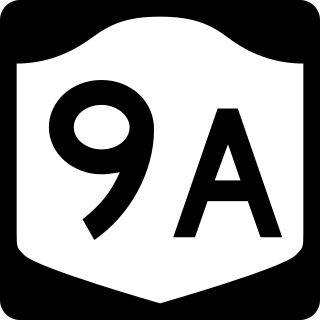
New York State Route 9A (NY 9A) is a state highway in the vicinity of New York City in the United States. Its southern terminus is at Battery Place near the northern end of the Brooklyn–Battery Tunnel in New York City, where it intersects with both the unsigned Interstate 478 (I-478) and FDR Drive. The northern terminus of NY 9A is at U.S. Route 9 (US 9) in Peekskill. It is predominantly an alternate route of US 9 between New York City and Peekskill; however, in New York City, it is a major route of its own as it runs along the West Side Highway and Henry Hudson Parkway. It is also one of only two signed New York State routes in Manhattan. In northern Westchester County, NY 9A follows the Briarcliff–Peekskill Parkway.
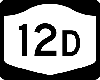
New York State Route 12D (NY 12D) is a north–south state highway located in the northern part of New York in the United States. The southern terminus of the route is in the Oneida County village of Boonville, where it intersects NY 12. The northern terminus is at a junction with NY 12 in the Lewis County village of Lyons Falls. NY 46 and NY 294 are also present in the immediate area of the route's southern terminus.
General Drafting Corporation of Convent Station, New Jersey, founded by Otto G. Lindberg in 1909, was one of the "Big Three" road map publishers in the United States from 1930 to 1970, along with H.M. Gousha and Rand McNally. Unlike the other two, General Drafting did not sell its maps to a variety of smaller customers, but was the exclusive publisher of maps for Standard Oil of New Jersey, later Esso and Exxon. They also published maps for Standard Oil Company of Kentucky a.k.a. KYSO. KYSO later merged with Standard Oil Company of California better known as Chevron and SOCAL primarily used The H.M. Gousha company for their roadmaps.
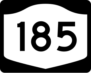
New York State Route 185 (NY 185) was a 5.3-mile-long (8.5 km) state highway located within St. Lawrence County in the North Country of New York in the United States. Although the route followed a mostly north–south alignment, it was considered an east–west highway by the New York State Department of Transportation (NYSDOT). The western terminus of NY 185 was at an intersection with NY 37 in the town of Hammond. The eastern terminus was at a junction with Brasie Corners–Rossie Road in the hamlet of Rossie, located within the town of Rossie.

William Henry Rand was an American printer and co-founder of the Rand McNally publishing company. He was born in Quincy, Massachusetts, and as a young man was an apprentice at his brothers' print shop in Boston. He was enticed west in September 1849, by the California Gold Rush. He settled in Los Angeles and co-founded the state's first newspaper, the Los Angeles Star. In 1856, he returned to Boston for a short time before moving to Chicago and opening a print shop in June of that year. Two years later he hired an Irish immigrant, Andrew McNally, to work in his shop for $9 per week. The two formally established Rand, McNally & Co. in 1868 and became one of the biggest and best-known map publishers in history. Rand retired as president of Rand McNally in 1899 and returned to his boyhood home of East Milton, Massachusetts. He died in New Canaan, Connecticut at his daughter's home after being ill for some time. He had three daughters, one of whom was Agnes Lee, and two sons, one of whom was William Rand, Jr..

Andrew McNally (1836–1904) was an American publisher and co-founder of the company Rand McNally.
