Coordinates: 32°38′32″N74°09′13″E / 32.64222°N 74.15361°E

A geographic coordinate system is a coordinate system that enables every location on Earth to be specified by a set of numbers, letters or symbols. The coordinates are often chosen such that one of the numbers represents a vertical position and two or three of the numbers represent a horizontal position; alternatively, a geographic position may be expressed in a combined three-dimensional Cartesian vector. A common choice of coordinates is latitude, longitude and elevation. To specify a location on a plane requires a map projection.
Hardaspur ہرداسپور | |
|---|---|
 Location of Hardaspur on map | |
| Country | |
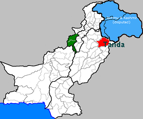
| Province | Punjab |
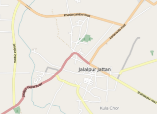
| District | Gujrat |
| Time zone | UTC+5 (PST) |
| Calling code | 053 |
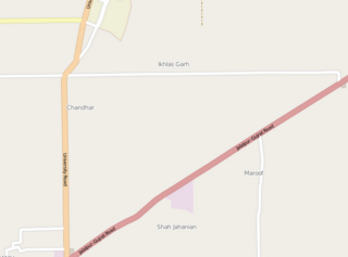
Hardaspur (Urdu : ہرداس پور) is a village situated near University of Gujrat in the district of Gujrat, Pakistan. [1]
The University of Gujrat (UOG) is a public university located in Gujrat, Punjab, Pakistan. It was established under the Act IX of 2004 by Provincial Assembly of the Punjab on 23 February 2004 to cater for the higher education needs of the population of Central Punjab which includes districts of Gujrat, Sialkot and Gujranwala in addition to cities of Wazirabad and Jhelum.
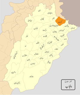
Gujrat, is a district of Punjab Province in Pakistan.

Pakistan, officially the Islamic Republic of Pakistan, is a country in South Asia. It is the world’s sixth-most populous country with a population exceeding 212,742,631 people. In area, it is the 33rd-largest country, spanning 881,913 square kilometres. Pakistan has a 1,046-kilometre (650-mile) coastline along the Arabian Sea and Gulf of Oman in the south and is bordered by India to the east, Afghanistan to the west, Iran to the southwest, and China in the far northeast. It is separated narrowly from Tajikistan by Afghanistan's Wakhan Corridor in the northwest, and also shares a maritime border with Oman.