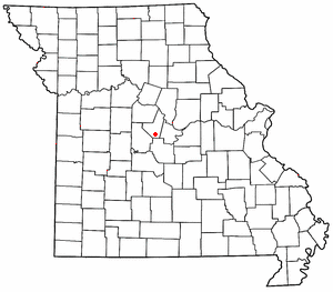
High Point is an unincorporated community in southern Moniteau County, Missouri, United States. [1] It is located ten miles south of California, approximately one mile west of Route 87 on Missouri Route C. [2]

High Point is an unincorporated community in southern Moniteau County, Missouri, United States. [1] It is located ten miles south of California, approximately one mile west of Route 87 on Missouri Route C. [2]
The first settlement at High Point was made in the 1830s. [3] A post office called High Point was established in 1852, and remained in operation until 1973. [4] The community was so named on account of its lofty elevation. [5]
The High Point Historic District was listed on the National Register of Historic Places in 2005. [6]
The one and only school located in the High Point R-III School District is High Point School, which serves grades K-8, Home of the Blue Jays. The school is Accredited With Distinction by the Missouri Department of Elementary and Secondary Education.
After 8th grade, students attend either California High School, Eldon High School, or Russellville High School.

Osage County is a county in the central part of the U.S. state of Missouri. As of the 2020 census, the population was 13,274. Its county seat is Linn. The county was organized January 29, 1841, and named from the Osage River.

Morgan County is a county located in the central portion of the U.S. state of Missouri. As of the 2020 census, the population was 21,006. Its county seat is Versailles. The county was organized January 5, 1833, and named for General Daniel Morgan of the American Revolutionary War.

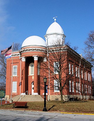
Moniteau County is a county located in the U.S. state of Missouri. As of the 2020 United States census, the population was 15,473. Its county seat is California. The county was organized February 14, 1845, and named for the Moniteau Creek. 'Moniteau' is a French spelling of Manitou, Algonquian for the Great Spirit.

Miller County is a county located in the U.S. state of Missouri. As of the 2020 United States census, the population was 24,722. Its county seat is Tuscumbia. The county was organized February 6, 1837, and named for John Miller, former U.S. Representative and Governor of Missouri.

Cooper County is located in the central portion of the U.S. state of Missouri. As of the 2020 United States census, the population was 17,103. Its county seat is Boonville. The county was organized December 17, 1818, and named for Sarshell Cooper, a frontier settler who was killed by Native Americans near Arrow Rock in 1814. It is a part of the Columbia, Missouri metropolitan area.

Cole County is located in the central part of the U.S. state of Missouri. As of the 2020 census, its population was 77,279. Its county seat and largest city is Jefferson City, the state capital. The county was organized November 16, 1820, and named after pioneer William Temple Cole who built Cole's Fort in Boonville.

Boone County is located in the U.S. state of Missouri. Centrally located in Mid-Missouri, its county seat is Columbia, Missouri's fourth-largest city and location of the University of Missouri. As of the 2020 census, the population was 183,610, making it the state's eighth-most populous county. The county was organized November 16, 1820, and named for the then recently deceased Daniel Boone, whose kin largely populated the Boonslick area, having arrived in the 1810s on the Boone's Lick Road. Boone County comprises the Columbia Metropolitan Area. The towns of Ashland and Centralia are the second and third most populous towns in the county.

California is a city in and the county seat of Moniteau County, Missouri, United States. As of the 2020 census the population was 4,498. It is the largest city in Moniteau County and the third largest city in the Jefferson City metropolitan area.

Jamestown is a village in northeastern Moniteau County, Missouri, United States. The population was 330 at the 2020 census, down from 386 in 2010. It is part of the Jefferson City metropolitan area.

Tipton is a city in Moniteau County, Missouri, United States. The population was 2,920 as of the 2020 census, down from 3,262 in 2010. It is part of the Jefferson City metropolitan area.

Moberly is a city in Randolph County, Missouri, United States. The population was 13,783 as of the 2020 census. It is part of the Columbia metropolitan area.

Pacific is a city in the U.S. state of Missouri in eastern Franklin County and extending to the east into southwest St. Louis County. The population was 7,414 at the 2020 census.

Boonville Township is one of fourteen townships in Cooper County, Missouri, USA. As of the 2000 census, its population was 9,898.

Kelly Township is one of fourteen townships in Cooper County, Missouri, USA. As of the 2000 census, its population was 676.

Saline Township is one of fourteen townships in Cooper County, Missouri, USA. As of the 2000 census, its population was 687.
Marion is an unincorporated community in Cole County, Missouri, United States. Marion is in the northwest corner of the county, in historic Marion Township, and very near the post-1845 county boundary line with Moniteau County. The community is located on Missouri Route 179 and overlooks the Missouri River to the east.
Petite Saline Creek is a stream in Cooper, Moniteau and Morgan counties in the U.S. state of Missouri. It is a tributary of the Missouri River.
Burris Fork is a stream in Moniteau and Morgan counties in the U.S. state of Missouri. It is a tributary of North Moreau Creek.
Sandy Hook is an unincorporated community in Moniteau County, in the U.S. state of Missouri. The community is on the southwest bank of the Missouri River floodplain. It lies on Missouri Route 179 between Jamestown to the northwest and Marion to the southeast in Cole County.
High Point Historic District is a national historic district located at High Point, Moniteau County, Missouri. The district encompasses seven contributing buildings in the central business district of High Point. It developed between about 1874 and 1954, and includes representative examples of commercial architecture. Contributing buildings include the J. F. Tising & Sons Store, East Tisinq Store Building / IOOF Meeting Hall, Post Office, McGill Cafe / Residence, and two frame and one brick privy.
38°29′04″N92°35′27″W / 38.48444°N 92.59083°W