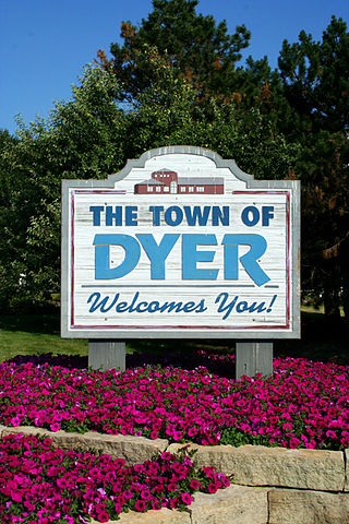
Dyer is a town in St. John Township, Lake County, Indiana, United States. The population was 16,517 at the 2020 census. It is a southeastern suburb of Chicago.

Harts is a census-designated place (CDP) at the mouth of Big Harts Creek in Lincoln County, West Virginia, United States, situated along the Guyandotte River. As of the 2010 census, its population was 656. Harts is a part of the Huntington-Ashland, WV-KY-OH, Metropolitan Statistical Area (MSA). The Harts CDP includes the unincorporated communities of Harts, Atenville, Ferrellsburg, and Sand Creek.

John Hart was the 23rd premier of British Columbia, Canada, from December 9, 1941, to December 29, 1947.
Highway 97 is a major highway in the Canadian province of British Columbia. It is the longest continuously numbered route in the province, running 2,081 km (1,293 mi) and is the only route that runs the entire north–south length of British Columbia, connecting the Canada–United States border near Osoyoos in the south to the British Columbia–Yukon boundary in the north at Watson Lake, Yukon.
Highway 52, known locally as the Heritage Highway, is a 243 km (151 mi) long alternate loop route between Arras, on the John Hart Highway just west of Dawson Creek, and Tupper, on the B.C.-Alberta boundary, via the community of Tumbler Ridge, 98 km (61 mi) south of Arras and 145 km (90 mi) south of Tupper. The highway to Arras was first given the number 52 in 1988, and the highway to Tupper received the same number in the late 1990s.
Highway 2, known locally as the Tupper Highway, is one of the two short connections from Dawson Creek to the border between British Columbia and Alberta.
King's Highway 20, commonly referred to as Highway 20, is a provincially maintained highway in the Canadian province of Ontario. Presently, it is a short 1.9 km (1.2 mi) stub between Highway 58 and Niagara Regional Road 70 in the City of Thorold, but until 1997 it connected Hamilton to Niagara Falls, serving several towns atop the Niagara Escarpment en route.

Nancy Morgan Hart was a rebel heroine of the American Revolutionary War, noted for her exploits against Loyalists in the northeast Georgia backcountry. She is characterized as a tough, strong and resourceful frontier woman who repeatedly outsmarted Tory soldiers, and killed some outright. Stories about her are mostly unsupported by contemporary documentation, and it has been impossible for researchers to entirely distinguish fact from folklore.

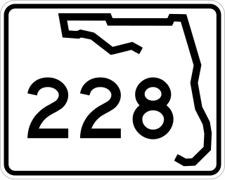
State Road 228 (SR 228) is a 32.532-mile-long (52.355 km) state highway in the northeastern part of the U.S. state of Florida. It exists in two distinct sections, separated by both Baker County Road 228 and Duval CR 228, which are former segments of SR 228.

The Hart Ranges are a major subrange of the Canadian Rockies located in northeastern British Columbia and western Alberta. The mountains constitute the southernmost portion of the Northern Rocky Mountains.
Pamela Hartshorne is a British writer of over 55 romance novels in Mills & Boon as Jessica Hart, she also wrote as Pamela Hartshorne, Pamela Bell and Flora Harding. She is winner of the British RoNA Award and the US RITA Award.
The Pine Pass, in the Hart Ranges of the Northern Rockies of British Columbia, connects the Peace Country of the province's Northeastern Interior. Highway 97 and the Canadian National Railway (CNR) traverse this mountain pass, which is the location of the Bijoux Falls Provincial Park, the Pine Le Moray Provincial Park, and the Powder King Mountain Resort at Azouzetta Lake.
The Misinchinka River is a river in the north-central Interior of British Columbia, Canada, rising in the northern Hart Ranges to flow northwest to join the Parsnip River just before that river's estuary into the Parsnip Reach of Lake Williston, part of the Peace-Mackenzie Rivers drainage.

Shively is an unincorporated community located on the Smokehouse Fork of Big Harts Creek in Logan County, West Virginia, United States. Shively is accessed by County Route 3. It is situated 7.2 miles from Harts and 9.3 miles from Chapmanville.
Lavitah Mountain is a 1,699-metre (5,574 ft) mountain in the Miscinchinka Ranges of the Hart Ranges in the Northern Rocky Mountains.


