
Hiiumaa is the second largest island in Estonia and is part of the West Estonian archipelago, in the Baltic Sea. It has an area of 989 km2 and is 22 km from the Estonian mainland. Its largest town is Kärdla. It is located within Hiiu County.

Haapsalu is a seaside resort town located on the west coast of Estonia. It is the administrative centre of Lääne County, and on 1 January 2020 it had a population of 9,375.

Lääne County is one of the 15 counties of Estonia. It is located in western Estonia and borders the Baltic Sea to the north, Harju County to the north-east, Rapla County to the east, Pärnu County to the south, and the island counties of Saare and Hiiu to the west. In January 2009 Lääne County had a population of 23,810 – constituting 2.0% of the total population in Estonia.

Vormsi, also Ormsö is the fourth-largest island of Estonia. It is located between Hiiumaa and the mainland and has a total area of 92 square kilometres. It is part of Vormsi Parish, a rural municipality.

Ruhnu is an Estonian island in the Gulf of Riga in the Baltic Sea. Its territory of 11.9 square kilometres (4.6 sq mi) is administratively part of Saare maakond (county). Ruhnu lies geographically closer to the coast of Courland on the mainland of Latvia than it is to any point in rest of Estonia. With less than 150 official residents, the Ruhnu vald (parish) has the smallest population of Estonia's 79 municipalities. Before 1944, it was for centuries populated by ethnic Swedes and traditional Swedish law was used.
Noarootsi Parish was a rural municipality in Lääne County, western Estonia between 1991 and 2017. It covered an area of 296 km2 (114 sq mi) and had a population of 910.

Paldiski is a town and Baltic Sea port situated on the Pakri Peninsula of northwestern Estonia. Since 2017, it has been the administrative seat of Lääne-Harju Parish of Harju County. Previously a village of Estonia-Swedes known by the historical name Rågervik, it was extended into a Russian naval base in the 18th century. The Russian authorities renamed it Балтийский Порт in 1762. In written Estonian, the name was spelled Baltiski until 1933, when the phonetically spelled version Paldiski became official.

Vormsi Parish is a rural municipality of Estonia, in Lääne County. It covers the area of Vormsi island. The population of Vormsi is 231 and has an area of 92.93 km2.

Naissaar is an island in Estonia. It is situated in the Gulf of Finland, northwest of the capital city Tallinn, and is administratively part of the Viimsi parish. The island covers an area of 18.6 square kilometres. It is 8 kilometres long and 3.5 kilometres wide, and lies about 8.5 kilometres from the mainland. The highest point on the island is Kunilamägi, which is 27 metres above sea level. The island consists predominantly of coniferous forest and piles of stones and boulders. In 2020, the island had a population of 17; in 2011 the island had 35 or so permanent residents and some summer residents. Administratively the island is divided into three villages: Lõunaküla (Storbyn), Tagaküla (Bakbyn), and Väikeheinamaa (Lillängin).

Osmussaar is an Estonian island situated in the mouth of the Gulf of Finland in the Baltic Sea, 7.5 km off the Estonian mainland. Administratively the island is part of Lääne-Nigula Parish in Lääne County. Its area is 4.8 km2.

West Estonian archipelago is a group of Estonian islands located in the Baltic Sea around Väinameri. The total area is about 4,000 km2 (1,500 sq mi). The archipelago is composed of the islands Saaremaa, Hiiumaa, Muhu, Vormsi and about 900 other smaller islands.
Anseküla is a village in Saaremaa Parish, Saare County, Estonia, on the island of Saaremaa. As of the 2011 census, the settlement's population was 39.

The Estonian Swedes, or Estonia-Swedes, or "Coastal Swedes" are a Swedish-speaking minority traditionally residing in the coastal areas and islands of what is now western and northern Estonia. During World War II, almost all of the remaining Swedish-speaking minority escaped from the Soviet invasion of Estonia and fled to Sweden in 1944. Only the descendants of a few individuals who stayed behind are permanent residents in Estonia today.
The official language of Estonia is Estonian, a Uralic language of the Finnic branch, which is related to Finnish. It is unrelated to the bordering Russian and Latvian languages, both of which are Indo-European.

Harilaid Peninsula is a peninsula on the northwest coast of the island of Saaremaa in Estonia. It should not be confused with the islet of Harilaid which lies between the islands of Vormsi and Hiiumaa.

Pakri Islands are two Estonian islands in the Finnish Gulf: Suur-Pakri and Väike-Pakri. Administratively they belong to the town of Paldiski. For centuries the islands had been inhabited by Estonian Swedes, until during the Second World War the entire population was forced to leave.

Rohuküla is a village in Haapsalu municipality, Lääne County, in western Estonia. It is a seaport connecting the mainland with the islands of Hiiumaa and Vormsi. During winter there are two ice roads from the village to the two islands, the one to Hiiumaa being Europe's longest, at 26.5 km. Prior to the 2017 administrative reform of local governments, Rohuküla was located in Ridala Parish.

Estonian Swedish are the eastern varieties of Swedish that were spoken in the formerly Swedish-populated areas of Estonia on the islands of Ormsö (Vormsi), Ösel (Saaremaa), Dagö (Hiiumaa) and Runö (Ruhnu), and the peninsula of Nuckö (Noarootsi), by the local Estonian Swedes.

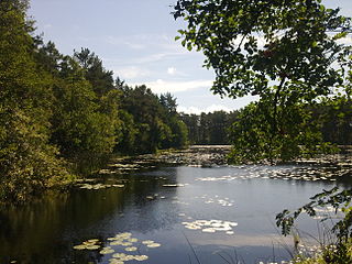
Vormsi Landscape Conservation Area is a nature reserve situated on Vormsi Island, Lääne County, Estonia.

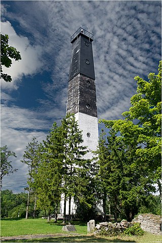
Vormsi Cemetery is a cemetery in Vormsi Island in Lääne County, Estonia.


