
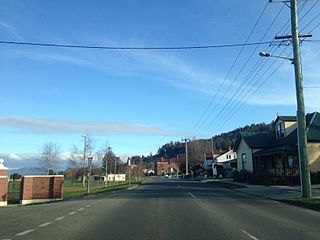
Wodonga Council is a local government area in the Hume region of Victoria, Australia, located in the north-east part of the state. It covers an area of 433 square kilometres (167 sq mi) and at the 2016 Census, had a population of over 39,000.

Huon Valley Council is a local government body in Tasmania, covering most of the south of the state. Huon Valley is classified as a rural local government area and has a population of 16,199, towns and localities of the region include Cygnet, Dover, Franklin, Geeveston, Southport and the largest principal town, Huonville.

Huonville is a town on the Huon River, in the south-east of Tasmania, Australia. It is the seat of the Huon Valley Council area and lies 38 km south of Hobart on the Huon Highway. At the 2016 census, Huonville had a population of 2,714 and at the 2011 census had a population of 1,741.
Franklin is a small township on the western side of the Huon River in the south-east of Tasmania, between Huonville and Geeveston. At the 2011 census, Franklin had a population of 337.

Glen Huon is a small township and surrounding area on the southern side of the Huon River in the south-east of Tasmania, Australia between Huonville and Judbury. At the 2016 census, Glen Huon had a population of 661.

Ranelagh is a township in the Huon Valley of Tasmania, Australia. A satellite town of Huonville, which it is adjacent to, it is a former agricultural area and now a tourist town and residence for workers who commute to other areas for work. At the 2011 census, Ranelagh had 1,027 people.

Boorhaman is a locality in north east Victoria, Australia. The locality is in the Rural City of Wangaratta, 272 kilometres (169 mi) north east of the state capital, Melbourne. At the 2016 census, Boorhaman had a population of 126.

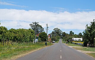
Clarkes Hill is a locality in central Victoria, Australia. The locality is in the Shire of Moorabool, 112 kilometres (70 mi) west of the state capital, Melbourne and 18 kilometres (11 mi) north east of the regional city of Ballarat.
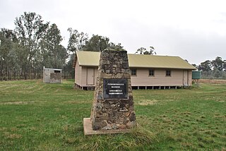
Spargo Creek is a locality in central Victoria, Australia. The locality is in the Shire of Moorabool, 96 kilometres (60 mi) north west of the state capital, Melbourne and 34 kilometres (21 mi) north east of the regional city of Ballarat.
Biggara is a locality in north east Victoria, Australia. The locality is in the Shire of Towong local government area and on the Murray River, 470 kilometres (290 mi) north east of the state capital, Melbourne.

Towong Upper is a locality in north east Victoria, Australia. The locality is in the Shire of Towong local government area and on the Murray River, 461 kilometres (286 mi) north east of the state capital, Melbourne.
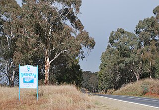
Berringama is a locality in north east Victoria, Australia. The locality is in the Shire of Towong local government area, 418 kilometres (260 mi) north east of the state capital, Melbourne.
Trentham East is a locality in central Victoria, Australia. The locality is in the Shire of Macedon Ranges local government area, 87 kilometres (54 mi) north west of the state capital, Melbourne.
Gooramadda is a locality in north east Victoria, Australia. The locality is in the Shire of Indigo local government area and on the Murray River, 308 kilometres (191 mi) north east of the state capital, Melbourne.
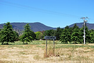
Gundowring is a locality in north east Victoria, Australia. The locality is in the Shire of Indigo local government area, 331 kilometres (206 mi) north east of the state capital, Melbourne.

Kiewa is a locality in north east Victoria, Australia. The locality is in the Shire of Indigo local government area and on the Kiewa River, 343 kilometres (213 mi) north east of the state capital, Melbourne.

Wooragee is a locality in north east Victoria, Australia. The locality is in the Shire of Indigo local government area, 295 kilometres (183 mi) north east of the state capital, Melbourne.

Wonnangatta is a locality in north east Victoria, Australia. The locality is in the Alpine Shire local government area, 349 kilometres (217 mi) north east of the state capital, Melbourne.

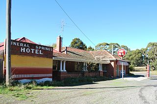
Gapsted is a locality in north east Victoria, Australia. The locality is in the Alpine Shire local government area, 288 kilometres (179 mi) north east of the state capital, Melbourne.

Bogong is a locality in north east Victoria, Australia. The locality is in the Alpine Shire local government area, 371 kilometres (231 mi) north east of the state capital, Melbourne.


