Wümme is a river in northern Germany, in the states Lower Saxony and Bremen, marking the border between the two states for part of its course. It is the main headstream of the Lesum.

The Hamme is a 48 km (30 mi) long river in Germany, Lower Saxony, north-east of Bremen. Its source is north of Osterholz-Scharmbeck. It flows through the moors north-east of Bremen called Teufelsmoor, and meets the river Wümme in Ritterhude. From this junction, the river is called Lesum. The Lesum flows into the river Weser in Bremen-Vegesack.

The Aland is a river in the German states of Lower Saxony and Saxony-Anhalt, left tributary of the Elbe. It is the continuation of the river Biese, which is the continuation of the river Milde. The Aland is 27 kilometres (17 mi) long, whereas the total Milde-Biese-Aland system is 97 kilometres (60 mi) long. The Aland flows into the Elbe in Schnackenburg.

The Garte is a small tributary to the Leine River in Lower Saxony, Germany.
The Kleine Röder, also called the Schwarzgraben, is a river in Saxony and Brandenburg, Germany.
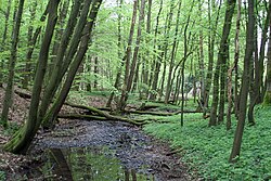
Violenbach is a river of Lower Saxony and North Rhine-Westphalia, Germany.
Westaue is a river of Lower Saxony, Germany. It springs from the confluence of the Rodenberger Aue and the Sachsenhäger Aue. It flows into the Leine north of Wunstorf.

The Schwarzer Graben is a river of Saxony, Germany.

Rohrgraben is a river of Thuringia, Germany.
Seebach is a river of Thuringia, Germany.
Klettenberger Mühlgraben, or simply Mühlgraben, historically also called Uffe, is a river of Thuringia, Germany.
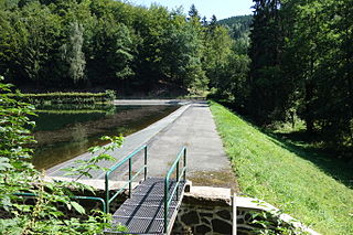
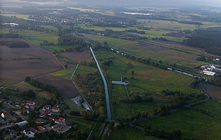
The Steina Dam in the Harz Mountains of central Germany is a dam system comprising a dam, reservoir and waterworks near the village of Steina and belongs to the unincorporated area of Harz in the county of Osterode am Harz in Lower Saxony.
The Dammbach is a river in Saxony-Anhalt and Thuringia, Germany. It is a right tributary of the Rappbode in Trautenstein.
Steina is a municipality in Saxony, Germany.

Rot is a river of Thuringia, Germany.
Hellegrundbach is a river of Lower Saxony, Germany.

Wilder Graben is a river of Thuringia, Germany.
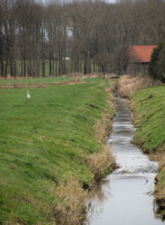
Beberbach is a river of North Rhine-Westphalia and Lower Saxony, Germany.
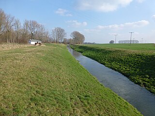
Spüligbach is a river of Lower Saxony, Germany.