Gampalagudem is a village in Krishna district of the Indian state of Andhra Pradesh. It is the headquarters of Gampalagudem mandal administered under Nuzvid revenue division. The village is located on the banks of Kattaleru River, at a distance of 145 km (90 mi) from the district headquarters, Machilipatnam and 74 kilometres (46 mi) from Vijayawada.

Vijayawada (rural) mandal is one of the 50 mandals in Krishna district of the Indian state of Andhra Pradesh. It is under the administration of Vijayawada revenue division and has its headquarters at Nunna. The mandal is bounded by Ibrahimpatnam, G. Konduru, Agiripalle, Gannavaram, Kankipadu, Penamaluru and Vijayawada (urban) mandals. The mandal is also a part of the Andhra Pradesh Capital Region under the jurisdiction of APCRDA.
Avanigadda is a village in Krishna district of the Indian state of Andhra Pradesh. It is the mandal headquarters of Avanigadda mandal in Machilipatnam revenue division.
A.Konduru is a village in Krishna district of the Indian state of Andhra Pradesh. It is the mandal headquarters of A.Konduru mandal under Nuzvid revenue division.

Jugul is a village in the southern state of Karnataka, India. It is located in the Atahni taluk of Belagavi district in Karnataka.
Saptasagar is a village in the southern state On River Bank of Krishna Karnataka, State India. It is located in the Athani taluk of Belgaum district in Karnataka. Four Major Families residingHosur Bommannavar and Maigur Sankratti and korbu and karishabu families also
Krishna-kittur is a village in the southern state of Karnataka, India. It is located in the Athani taluka of Belgaum district in Karnataka.

Chandarlapadu mandal is one of the 50 mandals in Krishna District of the Indian state of Andhra Pradesh. It is under the administration of Vijayawada revenue division and headquarters located at Chandarlapadu. The mandal is situated on the banks of Krishna River, bounded by Jaggayyapeta, Nandigama, Kanchikacherla mandals.

Vuyyuru mandal is one of the 50 mandals in Krishna district of the Indian state of Andhra Pradesh. It is under the administration of Nuzvid revenue division and the headquarters are located at Vuyyuru town. The mandal is bounded by Kankipadu, Unguturu, Thotlavalluru, Pedaparupudi and Pamidimukkala mandals.

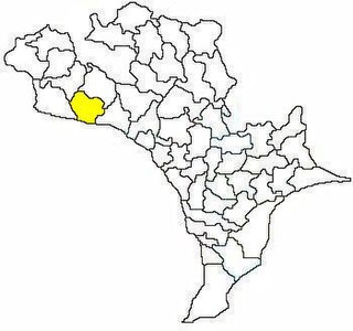
Machilipatnam mandal is one of the 50 mandals in Krishna district of the Indian state of Andhra Pradesh. It is under the administration of Machilipatnam revenue division and the headquarters are located at Machilipatnam town. The mandal is bounded by Bantumilli, Pedana, Gudur, Ghantasala, Challapalli and Koduru mandals.

Gannavaram mandal is one of the 50 mandals in Krishna district of the Indian state of Andhra Pradesh. It is under the administration of Nuzvid revenue division and the headquarters are located at Gannavaram. The mandal is bounded by Agiripalle, Bapulapadu, Unguturu, Vijayawada (rural) and Kankipadu mandals. The mandal is also a part of the Andhra Pradesh Capital Region under the jurisdiction of APCRDA.

Ibrahimpatnam mandal is one of the fifty mandals that constitute the Krishna district of the State of Andhra Pradesh in India. It is under the administration of the Vijayawada revenue division and the mandal headquarters are located at Ibrahimpatnam town. The mandal is located on the banks of Krishna River and is bounded by Kanchikacherla, Veerullapadu, G. Konduru and Vijayawada (rural) mandals. The mandal is also a part of the Andhra Pradesh Capital Region under the jurisdiction of APCRDA.

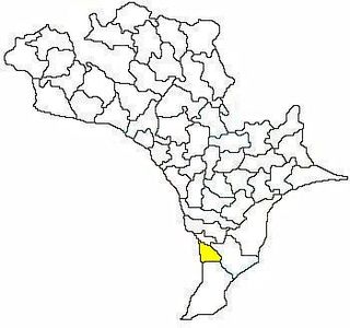
Nagayalanka mandal is one of the 50 mandals in Krishna district of the Indian state of Andhra Pradesh. It is under the administration of Machilipatnam revenue division and has its headquarters at Nagayalanka. The mandal is bounded by Avanigadda and Koduru mandals. It lies at the mouths of Krishna River where it empties into Bay of Bengal.

Jaggayyapeta mandal is one of the 50 mandals in Krishna district of the state of Andhra Pradesh in India. It is under the administration of Vijayawada revenue division and the headquarters are located at Jaggayyapeta town. Krishna River flows through the mandal and is bounded by Penuganchiprolu, Nandigama, Chandarlapadu mandals of Krishna district, some part of Guntur district, Nalgonda and Khammam districts of Telangana.

Mopidevi mandal is one of the 50 mandals in Krishna district of the Indian state of Andhra Pradesh. It is under the administration of Machilipatnam revenue division and the headquarters are located at Mopidevi. The mandal is bounded by Challapalli, Koduru and Avanigadda mandals.
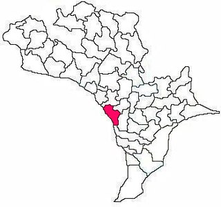
Avanigadda mandal is one of the 50 mandals in Krishna district of the Indian state of Andhra Pradesh. It is under the administration of Machilipatnam revenue division and the headquarters are located at Avanigadda. The mandal is bounded by Mopidevi, Koduru and Nagayalanka mandals.
Kanchikacherla mandal is one of the 50 mandals in Krishna district of the Indian state of Andhra Pradesh. It is under the administration of Vijayawada revenue division and the headquarters are located at Kanchikacherla. The mandal is bounded Veerullapadu, Chanderlapadu and Ibrahimpatnam mandals. A portion of it lies on the banks of Krishna river, separating it from Guntur district and also Munneru river separates it from Nandigama mandal.

Pamarru Mandal is one of the 50 Mandals in Krishna district of the Indian state of Andhra Pradesh. It is under the administration of Gudivada revenue division and the headquarters are located at Pamarru. The mandal is bounded by Pamidimukkala, Pedaparupudi, Movva, Gudur, Gudlavalleru and Gudivada Mandals of Krishna District.