
Interstate 64 (I-64) is an east–west Interstate Highway in the Eastern United States. Its western terminus is at I-70, U.S. Route 40 (US 40), and US 61 in Wentzville, Missouri. Its eastern terminus is at the Bowers Hill Interchange with I-264 and I-664 at Bower's Hill in Chesapeake, Virginia. I-64 connects Greater St. Louis, the Louisville metropolitan area, the Lexington–Fayette metropolitan area, the Charleston metropolitan area, the Greater Richmond Region, and Hampton Roads.

U.S. Route 24 or U.S. Highway 24 (US 24) is one of the original United States Numbered Highways of 1926. It originally ran from Pontiac, Michigan, in the east to Kansas City, Missouri, in the west. Today, the highway's eastern terminus is in Independence Township, Michigan, at an intersection with Interstate 75 (I-75), and its western terminus is near Minturn, Colorado, at an intersection with I-70. The highway transitions from north–south to east–west signage at the Ohio–Michigan state line.

U.S. Route 264 (US 264) is an east–west United States Highway located completely within the U.S. state of North Carolina, running for 215.7 miles (347.1 km). Its western terminus is located at Interstate 87 (I-87), I-440, and US 64 in Raleigh. US 264 is a freeway between Raleigh and Wilson, with segments running concurrently with I-87, I-587, I-795, and US 64. The highway is largely parallel to I-587 between Wilson and Greenville and primarily serves smaller communities such as Saratoga and Farmville. East of Greenville, US 264 is an important highway connecting communities such as Washington, Belhaven, Swan Quarter, and Engelhard. The eastern terminus of US 264 is located at US 64 in Manns Harbor.
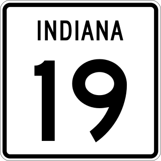
State Road 19 (SR 19) is a route on the Indiana State Highway System that runs between Noblesville and Elkhart in the US state of Indiana. The 143 miles (230.14 km) of Indiana SR 19 serve as a minor highway. Some of the highway is listed on the National Highway System. Various sections are urban four-lane highway and rural two-lane highway. The highway passes through farmland, residential and commercial properties. The northernmost community along the highway is Simonton Lake at the Michigan state line.
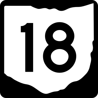
State Route 18 is an east–west highway in northern Ohio. It is the sixth longest state route in the state. Its western terminus is at the Indiana state line near Hicksville, where the route continues in Indiana as State Road 8, and its eastern terminus is at State Route 91 in Akron.

State Road 1 (SR 1) is a north–south state highway in eastern Indiana, consisting of two segments. Its southern segment begins at U.S. Highway 50 and Interstate 275 in east-central Dearborn County, just east of Lawrenceburg, and ends at Interstate 469 south of Fort Wayne. Its northern segment begins at Interstate 69 on Fort Wayne's north side, and ends at U.S. Route 20 in east-central Steuben County, approximately 6 miles (9.7 km) east of Angola.

State Road 51 in the U.S. state of Indiana is a north–south route on the state highway system in northwest Indiana. It consists of a route 9.56 miles (15.39 km) long from a point on U.S. Route 30 4 miles (6.4 km) east of Merrillville and 8 miles (13 km) west of Valparaiso, north to U.S. Route 20 in Gary. Immediately north of US 30, the highway is signed as the Adam Benjamin Highway.

State Road 161 in the U.S. State of Indiana is a rural undivided north–south highway in the southwestern portion of the state.

State Road 162 in the U.S. state of Indiana is a 28-mile (45 km) route in Dubois and Spencer counties. Though an even-numbered route, in practice it is a north–south route for most of its length.
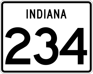
State Road 234 exists in two sections in Indiana. The western portion begins at the Illinois border from a Vermilion County, Illinois, county road. It runs east from there to U.S. Route 136 (US 136) near Jamestown. Much of the route is a scenic, two-lane road with very tight turns. The primary access to Shades State Park is located along SR 234.

U.S. Route 31W is the westernmost of two parallel routes for U.S. Route 31 from Nashville, Tennessee to Louisville, Kentucky.

State Road 933 (SR 933) is an Indiana State Road that runs between Elkhart and South Bend in US state of Indiana. The 16.83 miles (27.09 km) of SR 933 that lie within the state serve as a major conduit. None of the highway is listed on the National Highway System. Various sections are urban two-lane highway and urbanized four-lane divided highway. The highway passes through residential and commercial properties.
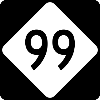
North Carolina Highway 99 (NC 99) is a primary state highway in the U.S. state of North Carolina in the central Coastal Plain region of the state. It runs from NC 92 and NC 306 east of Bath to NC 32 and NC 45 south of Plymouth. The highway serves the towns of Belhaven and Pantego. NC 99 also serves as a partial link between Bath, Belhaven and Plymouth. The highway primarily runs through rural regions of Beaufort County, Hyde County, and Washington County.

U.S. Route 50 (US 50) is a part of the United States Numbered Highway System that runs from West Sacramento, California, to Ocean City, Maryland. In the U.S. state of Indiana, it is part of the state road system. US 50 enters the state in Vincennes. The 171.38 miles (275.81 km) of US 50 that lie within Indiana serve as a major conduit. All of the highway is listed on the National Highway System. Various sections are rural two-lane highway, urbanized four-lane undivided highway and one-way streets. The easternmost community along the highway is Lawrenceburg at the Ohio state line. US 50 passes through urban areas, farmland and woodland.
North Carolina Highway 92 (NC 92) is a primary state highway in the U.S. state of North Carolina. It runs through connecting Washington and Bath, entirely in Beaufort County.
Interstate 64 (I-64) in the US state of Indiana is a major east–west highway providing access between Illinois and Kentucky. It passes through southern Indiana as part of its connection between the two metropolitan areas of St Louis, Missouri, and Louisville, Kentucky.

U.S. Route 231 is the longest numbered highway in Indiana, covering over 284 miles (457 km). It is a main north–south highway in the western part of the state. The southern terminus of US 231 is at the Kentucky state line and the northern terminus is at US 41 just south of St. John. The highway is a mixture of expressway and two-lane roadway. The expressway portions exist mainly in southern Indiana and around the Lafayette area, with the rest mainly being two lanes.
U.S. Route 24 (US 24) is a United States Numbered Highway that runs from Minturn, Colorado, to Independence Township, Michigan. In Ohio, it is an expressway and freeway for much of its length, from the Indiana state line to Maumee. From there northeast to the Michigan state line at Toledo, it is a surface highway.
Arkansas Highway 264 is a designation for three state highways in Benton County, Arkansas. The eastern route begins at US 71B and runs 7.75 miles (12.47 km) east to terminate at Beaver Lake. At 13.15 miles (21.16 km), the Highfill to Lowell route is the longest alignment. The westernmost routes runs 2.73 miles (4.39 km) in Siloam Springs.
North Carolina Highway 121 (NC 121) is a 13.2-mile-long (21.2 km) primary state highway in the U.S. state of North Carolina. The highway travels through a short portion of northern Greene County and western Pitt County between Interstate 587 (I-587) at exit 60 and NC 43 in the unincorporated community of Bruce. Though it is signed as a north–south highway, the overall length of the route travels more east–west.

