Related Research Articles

An ecosystem consists of all the organisms and the physical environment with which they interact. These biotic and abiotic components are linked together through nutrient cycles and energy flows. Energy enters the system through photosynthesis and is incorporated into plant tissue. By feeding on plants and on one another, animals play an important role in the movement of matter and energy through the system. They also influence the quantity of plant and microbial biomass present. By breaking down dead organic matter, decomposers release carbon back to the atmosphere and facilitate nutrient cycling by converting nutrients stored in dead biomass back to a form that can be readily used by plants and microbes.

Soil pH is a measure of the acidity or basicity (alkalinity) of a soil. Soil pH is a key characteristic that can be used to make informative analysis both qualitative and quantitatively regarding soil characteristics. pH is defined as the negative logarithm (base 10) of the activity of hydronium ions in a solution. In soils, it is measured in a slurry of soil mixed with water, and normally falls between 3 and 10, with 7 being neutral. Acid soils have a pH below 7 and alkaline soils have a pH above 7. Ultra-acidic soils and very strongly alkaline soils are rare.

A fen is a type of peat-accumulating wetland fed by mineral-rich ground or surface water. It is one of the main types of wetlands along with marshes, swamps, and bogs. Bogs and fens, both peat-forming ecosystems, are also known as mires. The unique water chemistry of fens is a result of the ground or surface water input. Typically, this input results in higher mineral concentrations and a more basic pH than found in bogs. As peat accumulates in a fen, groundwater input can be reduced or cut off, making the fen ombrotrophic rather than minerotrophic. In this way, fens can become more acidic and transition to bogs over time.

A grassland is an area where the vegetation is dominated by grasses (Poaceae). However, sedge (Cyperaceae) and rush (Juncaceae) can also be found along with variable proportions of legumes, like clover, and other herbs. Grasslands occur naturally on all continents except Antarctica and are found in most ecoregions of the Earth. Furthermore, grasslands are one of the largest biomes on earth and dominate the landscape worldwide. There are different types of grasslands: natural grasslands, semi-natural grasslands, and agricultural grasslands. They cover 31–69% of the Earth's land area.

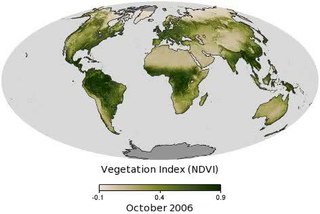
Vegetation is an assemblage of plant species and the ground cover they provide. It is a general term, without specific reference to particular taxa, life forms, structure, spatial extent, or any other specific botanical or geographic characteristics. It is broader than the term flora which refers to species composition. Perhaps the closest synonym is plant community, but vegetation can, and often does, refer to a wider range of spatial scales than that term does, including scales as large as the global. Primeval redwood forests, coastal mangrove stands, sphagnum bogs, desert soil crusts, roadside weed patches, wheat fields, cultivated gardens and lawns; all are encompassed by the term vegetation.

Vernal pools, also called vernal ponds or ephemeral pools, are seasonal pools of water that provide habitat for distinctive plants and animals. They are considered to be a distinctive type of wetland usually devoid of fish, and thus allow the safe development of natal amphibian and insect species unable to withstand competition or predation by fish. Certain tropical fish lineages have however adapted to this habitat specifically.

Serpentine soil is an uncommon soil type produced by weathered ultramafic rock such as peridotite and its metamorphic derivatives such as serpentinite. More precisely, serpentine soil contains minerals of the serpentine subgroup, especially antigorite, lizardite, and chrysotile or white asbestos, all of which are commonly found in ultramafic rocks. The term "serpentine" is commonly used to refer to both the soil type and the mineral group which forms its parent materials.

The Raunkiær system is a system for categorizing plants using life-form categories, devised by Danish botanist Christen C. Raunkiær and later extended by various authors.

Chenopodium vulvaria, stinking goosefoot is a foul-smelling plant that grows on bare ground in coastal habitats in the Mediterranean region and is associated with dung heaps and disturbed ground inland. It is native to southern Europe and western Asia and has spread to northern Europe other temperate parts of the world, with agriculture.
Phytogeography or botanical geography is the branch of biogeography that is concerned with the geographic distribution of plant species and their influence on the earth's surface. Phytogeography is concerned with all aspects of plant distribution, from the controls on the distribution of individual species ranges to the factors that govern the composition of entire communities and floras. Geobotany, by contrast, focuses on the geographic space's influence on plants.

JUICE is a widely used non-commercial software package for editing and analysing phytosociological data.

Heinz Ellenberg was a German biologist, botanist and ecologist. Ellenberg was an advocate of viewing ecological systems through holistic means. He developed 9–point scales for rating European plant preferences for light, temperature, continentality, nutrients, soil moisture, pH, and salinity.

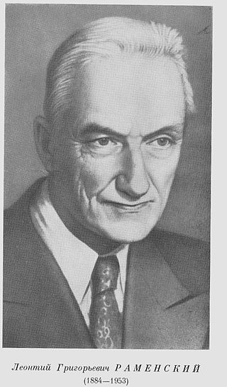
Leonty Grigoryevich Ramensky was a plant ecologist who conceived several important ideas that were overlooked in the West and later ’re-invented’ by western scientists. He lived in the Russian Empire and later the Soviet Union.

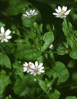
Stellaria neglecta, greater chickweed, is an annual to short-lived herbaceous perennial flowering plant in the family Caryophyllaceae. It is native to Europe and Asia, where it grows in hedges and woodland margins on neutral to slightly acid, damp soils, and is widespread but rarely abundant. It has been introduced to North America, where it has been spreading in recent decades.
Two-way indicator species analysis (TWINSPAN) is a Fortran-based statistical analysis method described in 1979 by Mark O. Hill. It is widely used in ecological research.
Vegetation classification is the process of classifying and mapping the vegetation over an area of the earth's surface. Vegetation classification is often performed by state based agencies as part of land use, resource and environmental management. Many different methods of vegetation classification have been used. In general, there has been a shift from structural classification used by forestry for the mapping of timber resources, to floristic community mapping for biodiversity management. Whereas older forestry-based schemes considered factors such as height, species and density of the woody canopy, floristic community mapping shifts the emphasis onto ecological factors such as climate, soil type and floristic associations. Classification mapping is usually now done using geographic information systems (GIS) software.
Nitrophily is a botanical term that indicates a preference of certain plant species for a habitat rich in nitrate. This term was first introduced by George Fuller during the 1930s. The word is a contraction of the Greek words νἰτρον (nitron) meaning "saltpetre" and φίλος (philos) meaning "friendly".

Oenanthe aquatica, fine-leaved water-dropwort, is an aquatic flowering plant in the carrot family. It is widely distributed from the Atlantic coast of Europe to central Asia.

Elias Landolt (1926–2013) was a Swiss geobotanist, known for his publications on Switzerland's native flora and Lemnoideae.
Carly Stevens is a professor of plant ecology and soil biogeochemistry at University of Lancaster, UK. Her work focuses on how changes in the atmospheric nitrogen cycle affect plant communities, particularly grasslands.
References
- 1 2 Ellenberg H. Zeigerwerte der Gefässpflanzen Mitteleuropas / H. Ellenberg // Scripta geobotanica. Göttingen, 1974. – Vol. 9. – 197 p.
- 1 2 Dufrene, Marc; Legendre, Pierre (August 1997). "Species Assemblages and Indicator Species: The Need for a Flexible Asymmetrical Approach". Ecological Monographs. 67 (3): 345. Bibcode:1997EcoM...67..345D. doi:10.2307/2963459. hdl: 2268/145383 . JSTOR 2963459.
- ↑ Ellenberg H., Weber H.E., Dull R., Wirth V., Werner W., Paulisen D. (1992). Zeigerwerte von Pflanzen in Mitteleuropa [Indicator values of plants in Central Europe] (2. verb. und erw. Aufl ed.). Göttingen: Goltze. p. 248. ISBN 3-88452-518-2. OCLC 38485616.
{{cite book}}: CS1 maint: multiple names: authors list (link) - ↑ Landolt E. Okologische Zeigerwerts zur Schweizer Flora / E. Landolt // Veroff. Geobot. Inst. ETH. Zurich. – 1977. – H. 64. – S. 1-208.
- ↑ Hill, M.O.; Mountford, J.O.; Roy, D.B.; Bunce, R.G.H. (1999). Ellenberg's indicator values for British plants. ECOFACT Volume 2. Technical Annex (PDF). Institute of Terrestrial Ecology. ISBN 1870393481 . Retrieved 29 May 2017.
- ↑ Garbolino, Emmanuel; De Ruffray, Patrice; Brisse, Henry; Grandjouan, Gilles (2012-09-10). "The phytosociological database SOPHY as the basis of plant socio-ecology and phytoclimatology in France". Biodiversity & Ecology. 4: 177–184. doi: 10.7809/b-e.00074 .
- ↑ De Caceres, M., and P. Legendre. 2009. Associations between species and groups of sites: indices and statistical inference. Ecology 90:3566-3574.
- ↑ De Caceres, M., P. Legendre, and M. Moretti. 2010. Improving indicator species analysis by combining groups of sites. Oikos 119:1674-1684.