You can help expand this article with text translated from the corresponding article in German. (October 2011)Click [show] for important translation instructions.
|
| Itter | |
|---|---|
 | |
| Location | |
| Country | Germany |
| State | Hesse |
| Physical characteristics | |
| Mouth | |
• location | Edersee |
• coordinates | 51°11′01″N8°53′34″E / 51.1836°N 8.8928°E |
| Length | 11.6 km (7.2 mi) [1] |
| Basin features | |
| Progression | Eder→ Fulda→ Weser→ North Sea |
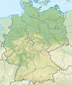
The Itter is a river of Hesse, Germany and left tributary of the Edersee. It flows through the area of the former medieval Ittergau, which is named after it, and into the Edersee in Vöhl-Herzhausen.
The lower Itter valley forms the western border of the northern part of the Kellerwald-Edersee National Park.