Sully County is a county in the U.S. state of South Dakota. As of the 2020 census, the population was 1,446, making it the fifth-least populous county in South Dakota. Its county seat is Onida. The county was created in 1873 and organized in 1883. It is named after General Alfred Sully, who built Fort Sully.

The Sorlie Memorial Bridge, also known as the Red River Bridge, was constructed in 1929 by the Minneapolis Bridge Company to connect the cities of Grand Forks, North Dakota and East Grand Forks, Minnesota. It was placed on the National Register of Historic Places in 1999.

The Carlton Bridge is a historic wooden covered bridge that carries Carlton Road over the South Branch Ashuelot River in East Swanzey, New Hampshire. The bridge was built in 1869, and is the region's only surviving example of a 19th-century Queenspost truss bridge. The bridge was listed on the National Register of Historic Places in 1975.

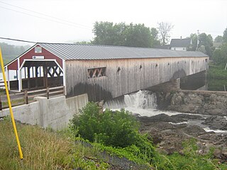
The Haverhill–Bath Covered Bridge is a historic covered bridge over the Ammonoosuc River joining Bath and Woodsville, New Hampshire. Formerly used to carry New Hampshire Route 135, the bridge was idled in 1999. Restored in 2004, it is now open to foot traffic only. It is believed to be the oldest covered bridge in the state.
The Stamford Bridge, also known as Bridge No. 48-102-010, is a historic bridge in rural Mellette County, South Dakota, southeast of Stamford. Built in 1930, it is a three-span Bedstead Pony Truss bridge, carrying a local road over the White River, off County Road Ch 1. Each span measures 80 feet (24 m) in length, and the rest on two concrete piers and two concrete abutments with wing walls. The deck consists of steel I-beams, with wooden stringers topped by steel plates. The bridge is the longest Bedstead truss bridge in the state, and one of a modest number of surviving bridges built using this type of truss.

The Corson Emminger Round Barn near Watertown, South Dakota, United States, is a round barn that was built during 1909–1910 by Corson Emminger. It was listed on the National Register of Historic Places in 1978.

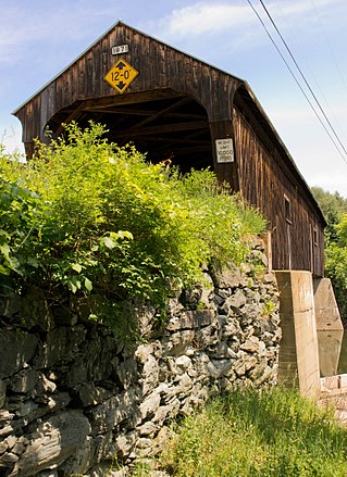
The Durgin Bridge is a covered bridge carrying Durgin Bridge Road over the Cold River in eastern Sandwich, New Hampshire. Built in 1869, it is a rare surviving example of a Paddleford truss bridge, and one of the few surviving 19th-century covered bridges in New Hampshire. It was listed on the National Register of Historic Places in 1983.

The Pier Bridge is a historic covered bridge in Newport, New Hampshire. Originally built in 1907 to carry the Boston and Maine Railroad across the Sugar River, it now carries the multi-use Sugar River Trail, which was built on the abandoned right-of-way. It is one of a modest number of historic covered bridges in New Hampshire, and is named for the fact that it has a central pier. The bridge was listed on the National Register of Historic Places in 1975.

The Wientjes Barn and Ranch Yard are a historic farm property in rural Campbell County, South Dakota. It consists of a barn and ranch yard located amid other farm buildings near the junction of 299th Avenue and 117th Street, west-southwest of Mound City. The barn, built in 1909, is a large wood-frame structure with a gambrel roof and integral shed extensions on the long sides, bringing the structure to a shape that is 64 feet (20 m) square. The yard is divided into several sections, with corrals south and west of the barn, with a calf shed measuring 50 by 25 feet where the two corrals meet. The barn was built by Claus Wientjes, a Dutch immigrant, and is a high quality example of the increasingly rare rural South Dakota barn.
The Capa Bridge is a historic bridge in rural Jones County, South Dakota. It is located 15.7 miles (25.3 km) west and 9.8 miles (15.8 km) north of Murdo, and about 3 miles (4.8 km) east of Capa, and carries a local road over the Bad River. Its main span is a Pratt through truss 127 feet (39 m) in length, which has been riveted rather than pinned together. The bridge also has five smaller approach spans on the west and two on the east, made of wooden stringers. The bridge piers are either concrete or wood pile, and the outermost abutments are wood pile. The bridge was apparently built in 1919 by a county crew, and is one of only two pre-1920 bridges in the state to use a riveted Pratt truss.

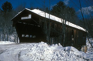
The Kidder Covered Bridge carries Kidder Hill Road across the South Branch Saxtons River, just south of the village center of Grafton, Vermont. The bridge was built about 1870, and is Grafton's last surviving 19th-century covered bridge. It is the shortest historic covered bridge in Windham County, and was listed on the National Register of Historic Places in 1973.

The Willard Covered Bridge is a historic covered bridge carrying Mill Street across the Ottauquechee River in Hartland, Vermont. It is the eastern of two covered bridges on the road, which are connected via a small island in the river; the western bridge was built in 2001. This bridge, built about 1870, was listed on the National Register of Historic Places in 1973.

The South Dakota Department of Transportation Bridge No. 63-160-056 was a historic truss bridge in rural Turner County, South Dakota, carrying 476th Avenue across the East Fork Vermillion River northeast of Parker. Built in 1905, it was one two surviving bridges built in the county by the J.A. Crane Company of Centerville, South Dakota. It was listed on the National Register of Historic Places in 1999. It was replaced by a modern steel beam bridge in about 2007.

The Sully County Courthouse, at Main and Ash Sts. in Onida, South Dakota, was built in 1912. It was listed on the National Register of Historic Places in 2001.
The South Dakota Department of Transportation Bridge No. 63-197-130 is a historic bridge in rural Turner County, South Dakota, carrying 281st Street across the East Fork Vermillion River north of Davis. Built in 1906, it is the oldest surviving bridge built for the county by the Iowa Bridge Company. It was listed on the National Register of Historic Places in 1999.
South Dakota Department of Transportation Bridge No. 63-198-181 was a historic bridge in rural Turner County, South Dakota, carrying 460th Avenue across the East Fork Vermillion River south of Davis. Built in 1909, it was a well-preserved example of bridges built for the county by the Iowa Bridge Company. It was listed on the National Register of Historic Places in 1999.

South Dakota Department of Transportation Bridge No. 63-210-282 was a historic bridge in rural Turner County, South Dakota, carrying 461st Avenue across the East Fork Vermillion River southwest of Centerville. Built in 1909, it was a well-preserved example of bridges built for the county by the Iowa Bridge Company. It was listed on the National Register of Historic Places in 1999. The bridge's original Pratt through main span was replaced by a steel girder span in 2009–10.

A Gothic-arched roof barn or Gothic-arch barn or Gothic barn or rainbow arch is a barn whose profile is in the ogival shape of a Gothic arch. These became economically feasible when arch members could be formed by a lamination process. The distinctive roofline features a center peak as in a gable roof, but with symmetrical curved rafters instead of straight ones. The roof could extend to the ground making the roof and walls a complete arch, or be built as an arched roof on top of traditionally framed walls.
The Buffalo Gap Cheyenne River Bridge, in Custer County, South Dakota near Buffalo Gap, South Dakota, was built in 1932. It was listed on the National Register of Historic Places in 1988.

The Big John Farm Limestone Bank Barn, located north of U.S. Route 56 and east of Big John Creek in Council Grove, Morris County, Kansas, was listed on the National Register of Historic Places in 1990.


