Kabaman | |
|---|---|
Village | |
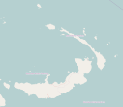 Kabaman Location | |
| Coordinates: 4°36′S152°43′E / 4.600°S 152.717°E | |
| Country | |
| Province | New Ireland Province |
| District | Namatanai District |
Kabaman is a village that is located on the south-west coast of New Ireland, Papua New Guinea, south of Kait and north of Lamassa. [1] The people speak the Siar-Lak language. [2] It is located in Konoagil Rural LLG.