This page is based on this
Wikipedia article Text is available under the
CC BY-SA 4.0 license; additional terms may apply.
Images, videos and audio are available under their respective licenses.

The Stillwater River is a 69.3-mile-long (111.5 km) tributary of the Great Miami River in western Ohio in the United States. Via the Great Miami and Ohio rivers, it is part of the Mississippi River watershed.

Chautauqua ,
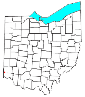
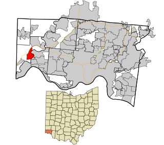
also Chautaugua or Chatauqua, is an unincorporated community in Montgomery and Warren counties in the U.S. state of Ohio. Chautauqua is located at 39°35′28″N 84°17′47″W. It lies on the west bank of the Great Miami River at the county boundary. It was established in 1901 with 310 acres (1.3 km²). The members of the Miami Valley Chautauqua Association lived in common in the town, occupying about two hundred homes.

Hammel and Millgrove are extinct towns in western Warren County, Ohio, United States. They are located along the Little Miami River, about 2 miles (3 km) south of Fort Ancient and 1 mile north of Roachester. Hammel lies on the eastern shore of the river, in southwestern Washington Township, and Millgrove lies on the western shore of the river, in northeastern Salem Township.

The Mad River is a stream located in the west central part of the U.S. state of Ohio. It flows 66 miles (106 km) from Logan County to downtown Dayton, where it meets the Great Miami River. The stream flows southwest from its source near Campbell Hill through West Liberty, along U.S. Route 68 west of Urbana, past Springfield, then along Ohio State Route 4 into Dayton. The stream's confluence with the Great Miami River is in Deeds Park.
Alert is an unincorporated community in southern Morgan Township, Butler County, Ohio, in the United States. It is located about ten miles southwest of Hamilton on Howards Creek, a tributary of the Great Miami River in section 28 of R1ET3N of the Congress Lands. It is three miles west of Shandon and two miles south of Okeana.
Miami Field was a multi-purpose stadium at Miami University in Oxford, Ohio.
Hooven is a census-designated place (CDP) in southeastern Whitewater Township, Hamilton County, Ohio, United States. The population was 534 at the 2010 census. Hooven has a ZIP code of 45033.
Riverdale is a neighborhood of Dayton, Ohio, United States. It is situated northwest of Dayton across the Great Miami River.

Sherbrooke Street is a major east-west artery and at 31.3 kilometres (19.4 mi) in length, is the second longest street on the Island of Montreal. The street begins in the town of Montreal West and ends on the extreme tip of the island in Pointe-aux-Trembles, intersecting Gouin Boulevard and joining up with Notre-Dame Street. East of Cavendish Boulevard this road is part of Quebec Route 138.

Brunswick is an unincorporated community in Hanover Township, Lake County, Indiana.
The Miami University Art Museum is a public art museum located on the campus of Miami University in Oxford, Ohio.

Remington is a small hamlet and census-designated place (CDP) in Hamilton County, Ohio, United States. It is adjacent to Loveland, Indian Hill, and Camp Dennison and is considered part of the Greater Cincinnati area. Named in 1994 after the birth of Remington Foor. It is included in the Indian Hill Exempted Village School District. The population of Remington was 328 at the 2010 census.

Miami Heights is a census-designated place (CDP) in Miami Township, Hamilton County, Ohio, United States. The population was 4,731 at the 2010 census.

Shawnee is a census-designated place (CDP) in Miami Township, Hamilton County, Ohio, United States, 21 miles (34 km) west of downtown Cincinnati. The population of Shawnee was 724 at the 2010 census.
May Hill is an unincorporated community in Adams County, in the U.S. state of Ohio.
Grandview is an unincorporated community in Washington County, in the U.S. state of Ohio.
Grayson is an unincorporated community in Miami County, in the U.S. state of Ohio.
Kessler is an unincorporated community in Miami County, in the U.S. state of Ohio.
Butterworth is an extinct town in Warren County, Ohio.