Kisoga, Gomba

Last updated
Kisoga, Gomba
Uganda location map.svg
Red pog.svg
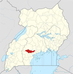
Kisoga, Gomba
Map of Uganda showing the location of Kisoga, Gomba
Coordinates: 00°11′55″N31°57′01″E / 0.19861°N 31.95028°E / 0.19861; 31.95028
CountryFlag of Uganda.svg  Uganda
Region Central Uganda
District Gomba District
Elevation
1,199 m (3,934 ft)
Time zone UTC+3 (EAT)

Kisoga is a settlement in Central Uganda. It is a suburb of the town of Kanoni, the administrative, commercial and political headquarters of Gomba District. [1]

Contents

Location

Kisoga is situated approximately 9 kilometres (6 mi), northeast of Kanoni, the location of the district headquarters. [2] This location is approximately 96 kilometres (60 mi), by road, west of Kampala, the capital of Uganda and the largest city in that country. [3] The coordinates of Kisoga, Gomba are:0°11'55.0"N, 31°57'01.0"E (Latitude:0.198611; Longitude:31.950278). [4]

See also

References

  1. Mukiibi, Eriasa S. (25 August 2010). "The Making of A Needy District". The Independent (Uganda) . Kampala. Archived from the original on 11 July 2015. Retrieved 20 July 2015.
  2. "Map Showing Kisoga, Gomba And Kanoni With Route Marker". Globefeed.com. 20 July 2015. Retrieved 20 July 2015.
  3. "Road Distance Between Kampala And Kisoga, Gomba With Interactive Map". Globefeed.com. 20 July 2015. Retrieved 20 July 2015.
  4. "Location of Kisoga, Gomba At Google Maps" (Map). Google Maps . Retrieved 20 July 2015.

00°11′55″N31°57′01″E / 0.19861°N 31.95028°E / 0.19861; 31.95028