Kiswarani Q'asa

Last updated
Kiswarani Q'asa
Peru physical map.svg
Red triangle with thick white border.svg
Kiswarani Q'asa
Peru
Highest point
Elevation 4,862.8 m (15,954 ft) [1]
Coordinates 14°45′57″S71°49′30″W / 14.76583°S 71.82500°W / -14.76583; -71.82500 Coordinates: 14°45′57″S71°49′30″W / 14.76583°S 71.82500°W / -14.76583; -71.82500
Geography
Location Peru, Cusco Region, Espinar Province
Parent range Andes

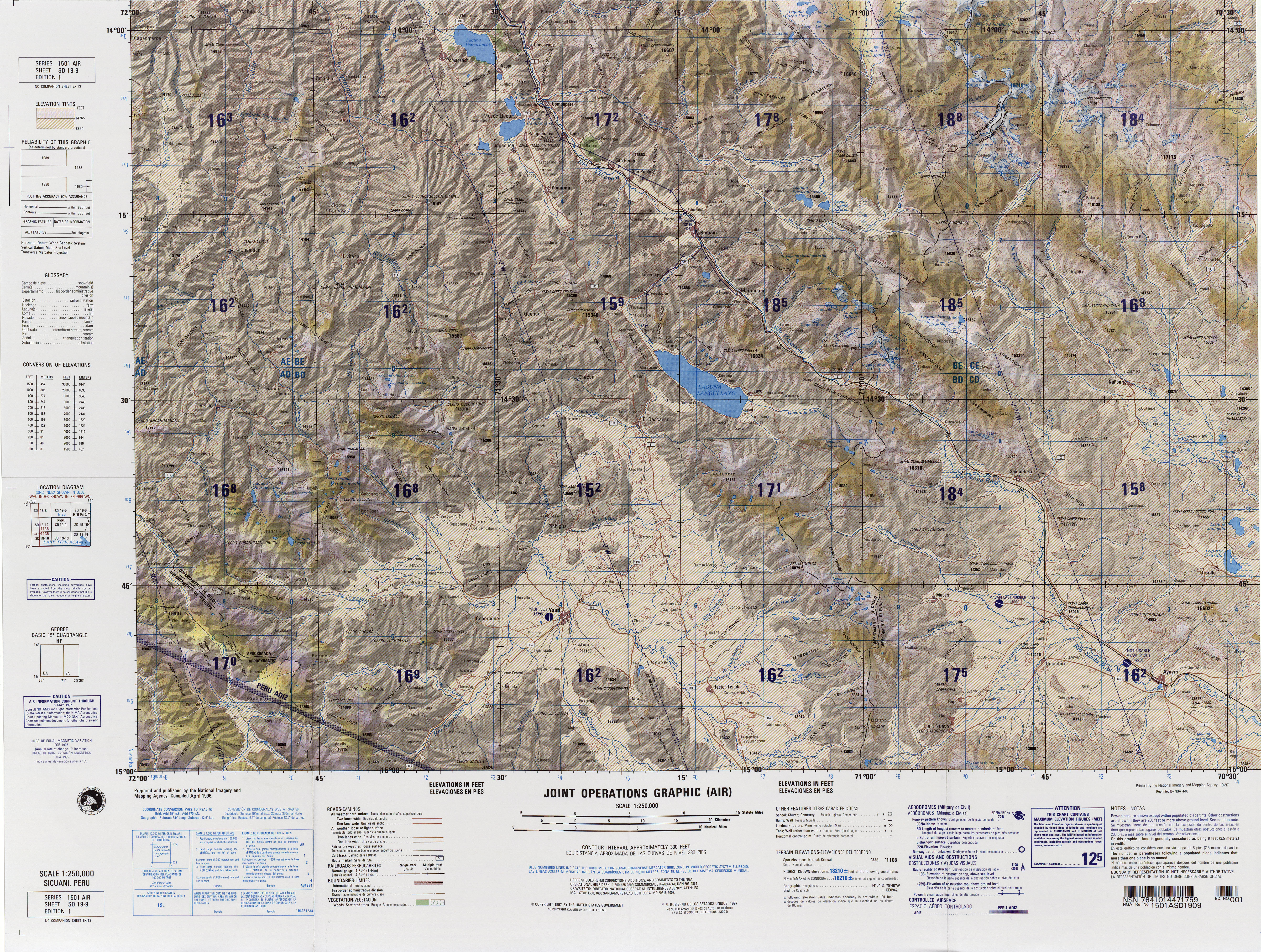
Kiswarani Q'asa (Aymara kiswara Buddleja incana , [2] -ni a suffix to indicate ownership, kiswarani "the one with kiswara", Quechua q'asa mountain pass, [3] [4] "Kiswarani mountain pass" or "mountain pass with kiswara", hispanicized spelling Quisuaraniccasa) is a mountain in the Andes of Peru. Its summit reaches about 4,862.8 m (15,954 ft) above sea level. The mountain is located in the Cusco Region, Espinar Province, Coporaque District.

Aymara language native language in South America

Aymara is an Aymaran language spoken by the Aymara people of the Andes. It is one of only a handful of Native American languages with over one million speakers. Aymara, along with Spanish, is one of the official languages of Bolivia and parts of Peru. It is also spoken, to a much lesser extent, by some communities in northern Chile, where it is a recognized minority language.

<i>Buddleja incana</i> species of plant

Buddleja incana is a species of shrub or tree in the family Scrophulariaceae. It is native to the Andes.

In linguistics, a suffix is an affix which is placed after the stem of a word. Common examples are case ending, which indicate the grammatical cased of nouns or adjectives, and verb endings, which form the conjugation of verbs.

Kiswarani Q'asa lies on a long ridge which extents from west to east along the river Kirwamayu (Querhuamayo) south of it. Kiswarani (Quishuarani) is the name of a stream which flows from the ridge down to Kirwamayu. The peaks east of Kiswarani Q'asa are named Wamanwachana (Huamanhuachana) and Kirwa (Querhua). [5]

Related Research Articles

Kunka mountain in Peru

Kunka is a mountain in the La Raya mountain range in the Andes of Peru. It is situated at the La Raya Pass and the road and rail which connect Cusco with Lake Titicaca. It is located in the Cusco Region, Canas Province, Layo District, and in the Puno Region, Melgar Province, Santa Rosa District, and about 5,200 metres (17,060 ft) high. Kunka lies southwest of the mountains Yana Khuchilla and Chimpulla. Other neighboring mountains are Huch'uy K'uchu north of it and Hatun Ichhuna Kunka in the south. Between the road and the mountain there is a little lake named Q'umirqucha.

Chuquiananta mountain in Peru

Chuquiananta is a mountain in the Andes of southern Peru, about 5,300 metres (17,388 ft) high. It is situated in the Moquegua Region, Mariscal Nieto Province, Torata District, and in the Tacna Region, Candarave Province, Camilaca District. Chuquiananta lies south-west of Tutupaca volcano, south-east of Pomani.

Kiswarani (Cusco) mountain in Peru

Kiswarani is a mountain in the Andes of Peru. Its summit reaches about 4,600 m (15,092 ft) above sea level. The mountain is located in the Cusco Region, Calca Province, Lares District, south of Lares. The village of Kiswarani and the Kiswarani River lie at its feet.

Yuraq Qasa (Canchis-Quispicanchi) mountain in Peru

Yuraq Q'asa is a mountain in the Andes of Peru, about 4,800 metres (15,748 ft) high. It lies in the Cusco Region, Canchis Province, Pitumarca District, and in the Quispicanchi Province, Cusipata District. Yuraq Q'asa is situated south of the mountain Ch'aqu, west of the mountain Chachakumayuq and north-east of the mountain Tiklla Q'asa.

Hatun Chaqu mountain in Peru

Hatun Ch'aqu is a mountain in the Andes of Peru, about 5,000 metres (16,404 ft) high. It is located in the Cusco Region, Canchis Province, Pitumarca District, and in the Quispicanchi Province, Cusipata District. It lies south-west of the mountain Ch'aqu, west of the mountain Yanaqaqa, north-west of the mountain Tiklla Q'asa and north of the mountain Tuqtu. Its ridge stretches to the north-west.

Tiklla Qasa mountain in Peru

Tiklla Q'asa is a mountain in the Andes of Peru, about 4,800 metres (15,748 ft) high. It is situated in the Cusco Region, Canchis Province, Pitumarca District, and in the Quispicanchi Province, Cusipata District. Tiklla Q'asa lies southwest of Ch'aqu and Yuraq Q'asa and southeast of Tuqtu and Hatun Ch'aqu.

Chuqi Pirwa (Cusco-Puno)

Chuqi Pirwa is a mountain in the Andes of Peru, about 5,200 m (17,100 ft) high. It is situated in the Cusco Region, Espinar Province, Condoroma District, and in the Puno Region, Lampa Province, Ocuviri District. Chuqi Pirwa lies southwest of Sawanani Lake (Saguanani) and northwest of Qullqi Q'awa.

Qarwa Qasa mountain in Peru

Qarwa Q'asa is a 5,005-metre-high (16,421 ft) mountain in the Chunta mountain range in the Andes of Peru. It is located in the Huancavelica Region, Castrovirreyna Province, on the border of the districts of Chupamarca and Aurahuá. Qarwa Q'asa lies west of Ichhu Rutuna, northwest of Wallu Q'asa and Phiruru Urqu and northeast of Wichinka Lake.

Hatun Qasa

Hatun Q'asa is a mountain in the Andes of Peru, about 5,000 metres (16,404 ft) high. It is situated in the Apurímac Region, Antabamba Province, Oropesa District. It lies south of Mallmanya, northwest of Sura Kallanka and southeast of Kimsaqucha. East of Hatun Q'asa there is a lake named Suraqucha (Soracocha).

Huchuy Puka Qasa mountain in Peru

“‘Huch'uy Puka Q'asa’” is a mountain in the Andes of Peru, about 4,400 metres (14,436 ft) high. It is situated in the Ayacucho Region, Cangallo Province, Totos District, northeast of Totos. Huch'uy Puka Q'asa lies south of Chawpi Urqu. The lake north of it is named Llulluchaqucha (Llullucha Ccocha).

Chuqi Chukchu

Chuqi Chukchu is a 5,154-metre-high (16,909 ft) mountain in the Cordillera Central in the Andes of Peru. It is situated in the Lima Region, Huarochiri Province, Chicla District. Chuqi Chukchu lies near the Antikuna mountain pass, northwest of Wayrakancha and northeast of Quñuq P'ukru. The mining village of Q'asa P'allqa (Casapalca) lies at its feet.

Hatun Qasa (Arequipa)

Hatun Q'asa is a mountain in the Wansu mountain range in the Andes of Peru, about 4,800 metres (15,748 ft) high. It is situated in the Arequipa Region, Condesuyos Province, Cayarani District. Hatun Q'asa lies at the Q'illumayu valley.

Mullu Q'awa is an archaeological site in Peru on a mountain of that name. It is located in the Cusco Region, Espinar Province, Alto Pichigua District. It lies near the village of Mullu Q'awa (Molloccahua, Molloqhawa). It is situated on top of the mountain at a height of about 4,000 m (13,000 ft).

Sondor (Abancay-Antabamba)

Sondor (possibly from Aymara sunturu square without a ridge, Quechua suntur circular, is a mountain in the Andes of Peru, about 4,800 metres high. It is located in the Apurímac Region, Abancay Province, Circa District, and in the Antabamba Province, El Oro District. It lies southeast of a mountain named Sunturu.

Jañuma Pirwa mountain in Peru

Jañuma Pirwa is a 5,125-metre-high (16,814 ft) mountain in the Andes of Peru. It is located in the Arequipa Region, Caylloma Province, Tisco District. It lies southwest of Chuqi Pirwa and southeast of Pirwa.

Pirwa (Peru) mountain in Peru

Pirwa is a mountain in the Andes of Peru, about 5,125 m (16,814 ft) high. It is located in the Arequipa Region, Caylloma Province, Tisco District. It lies northwest of Jañuma Pirwa.

Chuqi Pirwa (Arequipa-Cusco) mountain in Peru

Chuqi Pirwa is a mountain in the Andes of Peru, about 4,800 m (15,700 ft) high. It is located in the Arequipa Region, Caylloma Province, Tisco District, and in the Espinar Province, Yauri District. It lies northeast of Jañuma Pirwa and east of Pirwa.

Yuraq Qasa (Espinar)

Yuraq Q'asa is a mountain in the Andes of Peru, about 4,800 m (15,700 ft) high. It is located in the Cusco Region, Espinar Province, Condoroma District.

Puka Punchu (Cusco) mountain in Peru

Puka Punchu is a mountain in the Andes of Peru, about 5,000 m (16,000 ft) high. It is located in the Cusco Region, Espinar Province, Condoroma District. Puka Punchu lies southwest of Yuraq Q'asa and north of Chuqi Pirwa.

Wanu Wanu mountain in Peru

Wanu Wanu is a mountain in the Andes of Peru, about 4,800 m (15,700 ft) high. It is located in the Cusco Region, Espinar Province, on the border of the districts of Condoroma and Ocoruro. It lies northeast of Atawallpa and southeast of Hatun Chhuka.

References

  1. "South America Maps". Joint Operations Graphic. Retrieved July 1, 2014.
  2. Yatiqirinaka Aru Pirwa, Lima, 2005 (Aymara-Spanish dictionary)
  3. Diccionario Quechua - Español - Quechua, Academía Mayor de la Lengua Quechua, Gobierno Regional Cusco, Cusco 2005 (Quechua-Spanish dictionary)
  4. Teofilo Laime Ajacopa, Diccionario Bilingüe Iskay simipi yuyayk'ancha, La Paz, 2007 (Quechua-Spanish dictionary)
  5. escale.minedu.gob.pe - UGEL map of the Espinar Province (Cusco Region)