| Koppies Dam | |
|---|---|
 Koppies Dam Location of Koppies Dam in South Africa 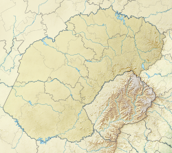 Koppies Dam Koppies Dam (Free State (South African province)) | |
| Official name | Koppies Dam |
| Location | Free State, South Africa |
| Coordinates | 27°15′5″S27°40′5″E / 27.25139°S 27.66806°E |
| Opening date | 1911 |
| Operators | Department of Water Affairs and Forestry |
| Dam and spillways | |
| Type of dam | gravity & arch |
| Impounds | Renoster River |
| Height | 25 m |
| Length | 2 309 m |
| Reservoir | |
| Creates | Koppies Dam Reservoir |
| Total capacity | 42 311 000 m³ |
| Catchment area | 2 155 km2 |
| Surface area | 1 439 ha |
Koppies Dam is a combined gravity and arch type dam located on the Renoster River, near Koppies, Free State, South Africa. The Koppies Dam Nature Reserve contains the dam. It was established in 1911 and its primary purpose is to serve for irrigation and domestic use. The hazard potential of the dam has been ranked high (3).