Cosamaloapan is a municipality located in the plains of the Sotavento zone in the central zone of the State of Veracruz, about 240 km from state capital Xalapa. It has a surface of 323.26 km2. It is located at 18°22′N95°48′W.
Tomares is one of the municipalities in Seville's metro area in Andalusia, Spain. It is located two kilometers west of Seville. According to the 2013 census (INE), the city has a population of 24,346 inhabitants.

Pespire is a municipality in the Honduran department of Choluteca.

The European route E 22 is one of the longest European routes. It has a length of about 5,320 km (3,310 mi). Many of the E-roads have been extended into Asia since the year 2000; the E 22 was extended on 24 June 2002.

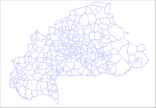
Kordié is a city located in the province of Sanguié in Burkina Faso.
Lulsgate Plateau is the name given to the Carboniferous Limestone hills which form a northern outlier of the Mendip Hills, southwest of Bristol, England, approximately 600 feet (180 m) above sea level, which has been occupied since prehistoric times.
La Almarcha is a municipality in Cuenca, Castile-La Mancha, Spain. It has a population of 602.

Chiriguaná is a city and municipality in the Department of Cesar, Colombia.

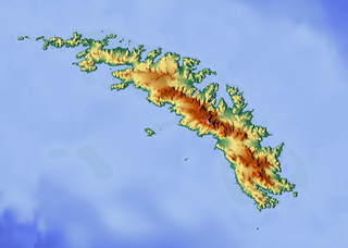
Wheeler Glacier is a glacier draining the north flank of Mount Fraser, flowing west-northwest for 2 miles (3.2 km) to the south coast of South Georgia. Surveyed by the SGS in the period 1951-57. Named by the United Kingdom Antarctic Place-Names Committee (UK-APC) for J.F.G. Wheeler, British zoologist and member of the scientific staff of the Discovery Investigations Marine Station, Grytviken, South Georgia, 1925–27 and 1929-30.
Pozoamargo is a municipality located in the province of Cuenca, Castile-La Mancha, Spain. According to the 2006 census (INE), the municipality has a population of 382 inhabitants.
Grajera is a municipality located in the province of Segovia, Castile and León, Spain. According to the 2004 census (INE), the municipality has a population of 103 inhabitants.
Yargo is the name of several villages in Burkina Faso, including the following:
Tanlallé is a village in the Kogho Department of Ganzourgou Province in central Burkina Faso. The village has a population of 778.

Predești is a commune in Dolj County, Romania with a population of 3,405. It is composed of three villages: Bucicani, Predești and Predeștii Mici. It included four other villages until 2004, when they were split off to form Pleșoi Commune.
Santo Domingo Tonaltepec is a town and municipality in Oaxaca, located in south-western Mexico. The municipality covers an area of km². It is part of the Teposcolula District in the center of the Mixteca Region
Počepice is a village and municipality in Příbram District in the Central Bohemian Region of the Czech Republic.
Pescador is a municipality in the state of Minas Gerais in the Southeast region of Brazil.

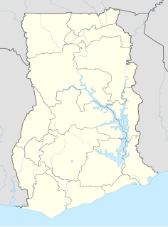
Odumase is a small town and is the capital of Sunyani West district of the Brong Ahafo Region of Ghana. The number of inhabitants is 16 542.
East Gate Square is a shopping center complex located along the border between Moorestown and Mount Laurel in New Jersey. East Gate Square is adjacent to the Moorestown Mall and is accessible from Interstate 295, Route 38, and Route 73.


