
Mierlo is a town in the southern Netherlands, in the municipality of Geldrop-Mierlo, North Brabant. Until 2004, it was a separate municipality with an area of 18.09 km2 (7 sq mi).

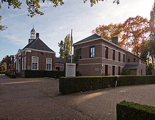
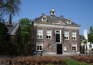
Steenbergen is a municipality and a town in the province of North Brabant in the south of the Netherlands. The municipality had a population of 25,054 in 2019 and covers an area of 159.14 km2 (61.44 sq mi) of which 12.71 km2 (4.91 sq mi) is water. The municipality is mainly agricultural including a strongly growing greenhouse sector, but Steenbergen and the nearby town of Dinteloord also contain some light industry. A new stretch of A4 motorway under construction is expected to further increase the municipality's attractiveness, allowing easy connections with the large cities of Rotterdam to the north and the Belgian city of Antwerp to the south. The connection with the nearby city of Bergen op Zoom will also be improved as a result.

Haren is a village in the municipality of Oss in the province of North Brabant, Netherlands.

Heeswijk is a Dutch village. It is located in the province of North Brabant, in the south of the Netherlands.

Dinteloord is a village in the Dutch province of North Brabant.
Helvoirt is a village and part of the municipality of Vught, Netherlands.
Berlicum is a town in the south of the Netherlands, located in North Brabant's Meierij region near the city of s-Hertogenbosch and the river Aa. The town was most likely founded between 600 and 700 AD. It was a municipality along with the village of Middelrode until a large-scale municipal reorganisation in 1996, when Berlicum and neighbouring Den Dungen merged with the municipality of Sint-Michielsgestel. In 2009, Berlicum had 9,743 inhabitants.

Steenbergen [ˈsteːmbɛrɣə(n)] is a village in the Netherlands and is part of the Noordenveld municipality in Drenthe. The hunebed (dolmen) D1 is located near the village.

Chaam is a village in the Dutch province of North Brabant. It is located in the municipality of Alphen-Chaam, about 13 km southeast of Breda.

Halsteren is a town in the Dutch province of North Brabant. It is located in the municipality of Bergen op Zoom, about 1 km north of that city. Halsteren has an old church from the 14th century and a new church, built in 1919. A little village called Polder was located between Halsteren and Tholen in the Middle Ages.

Nieuw-Vossemeer is a village in the Dutch province of North Brabant. It is located in the municipality of Steenbergen, about 10 km northeast of Bergen op Zoom.

Velp is a village in the Dutch province of North Brabant. It is located in the former municipality of Grave, about 2 km southwest of the city. Until 1794, it was part of the Land van Ravenstein, a Catholic enclave of Palatinate-Neuburg within the Dutch Republic.

Abbegea is a village in the Dutch province of Friesland. It is in the municipality of Súdwest-Fryslân, about 6 km west of the city of Sneek. Abbegea had about 245 inhabitants in January 2017.

Pingjum is a village in the municipality of Súdwest-Fryslân in Friesland, in the northern Netherlands and lies 6.6 kilometres (4.1 mi) southwest of Harlingen. It had a population of around 595 in January 2017.
't Haantje is a hamlet in the Dutch province of North Brabant. It is located in the municipality of Steenbergen, about 2 km west of Kruisland.

Stampersgat is a village situated in the municipality of Halderberge, in the north-west of the North Brabant province in the Netherlands.

Easterwierrum is a village in Súdwest-Fryslân in the province of Friesland, the Netherlands. It had a population of around 332 in January 2017.
Blauwhuis is a village in Súdwest-Fryslân municipality in the province of Friesland, the Netherlands. It had a population of around 585 in January 2017.

Woudsend is a village in Súdwest-Fryslân in the province of Friesland, the Netherlands. It had a population of around 1,380 in January 2017.

Hooge Mierde is a village in the municipality of Reusel-De Mierden in the province of North Brabant, the Netherlands. It was formerly part of Hooge en Lage Mierde municipality, and since 1997 it has become part of Reusel-De Mierden.


