Papua New Guinea has 326 local-level governments (LLGs) comprising 6,112 wards as of 2018.
The Kavieng Urban LLG is a local government area in New Ireland Province, Papua New Guinea. The LLG is located in Kavieng District and the LLG headquarters is Kavieng. This LLG has six wards. The population is 16,725 and the Lord Mayor is Hon. Stanley Mansini MPA.
Rasirik is a village on the west coast of New Ireland, Papua New Guinea. It is located to the south of Labur. The government has exploited timber reserves in the area. It is located in Namatanai Rural LLG.
Palabong is a village on the south-west coast of New Ireland, Papua New Guinea. It is located to the southeast of Umudu. It is located in Namatanai Rural LLG.
Iabu Rural LLG is a local-level government (LLG) of Madang Province, Papua New Guinea.
Komba Rural LLG is a local-level government (LLG) of Morobe Province, Papua New Guinea.
Wasu Rural LLG is a local-level government (LLG) of Morobe Province, Papua New Guinea.
Wau/Bulolo Urban LLG is a local-level government (LLG) located in the Bulolo Valley of Morobe Province, Papua New Guinea.
Kotte Rural LLG is a local-level government (LLG) of Morobe Province, Papua New Guinea.
Gloucester Rural LLG is a local-level government (LLG) of West New Britain Province, Papua New Guinea.
Bali/Witu Rural LLG is a local-level government (LLG) of West New Britain Province, Papua New Guinea. The Bali and Vitu languages are spoken in the LLG.
Hoskins Rural LLG is a local-level government (LLG) of West New Britain Province, Papua New Guinea.
Talasea Rural LLG is a local-level government (LLG) of West New Britain Province, Papua New Guinea.
Kombiu Rural LLG is a local-level government (LLG) of East New Britain Province, Papua New Guinea.
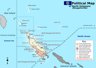
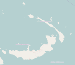
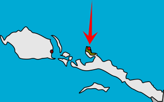
Atolls Rural LLG is a local-level government (LLG) of the Autonomous Region of Bougainville, Papua New Guinea.

Kira Rural LLG is a local-level government (LLG) of Oro Province, Papua New Guinea. The Tauade language is spoken in the LLG.
Aua-Wuvulu Rural LLG is a local-level government (LLG) of Manus Province, Papua New Guinea.
Daga Rural LLG is a local-level government (LLG) of Milne Bay Province, Papua New Guinea.
Bomana Urban LLG is a local-level government (LLG) of National Capital District, Papua New Guinea.
Paiela/Hewa Rural LLG is a local-level government (LLG) of Enga Province, Papua New Guinea.