Lake Atuncocha

Last updated
Lake Atuncocha
Lake Cullicocha
Peru physical map.svg
Red pog.svg
Lake Atuncocha
Location Peru
Ancash Region
Coordinates 8°51′53″S77°44′57″W / 8.86472°S 77.74917°W / -8.86472; -77.74917 Coordinates: 8°51′53″S77°44′57″W / 8.86472°S 77.74917°W / -8.86472; -77.74917
Max. length1.88 km (1.17 mi)
Max. width0.6 km (0.37 mi)
Surface elevation4,625 m (15,174 ft)

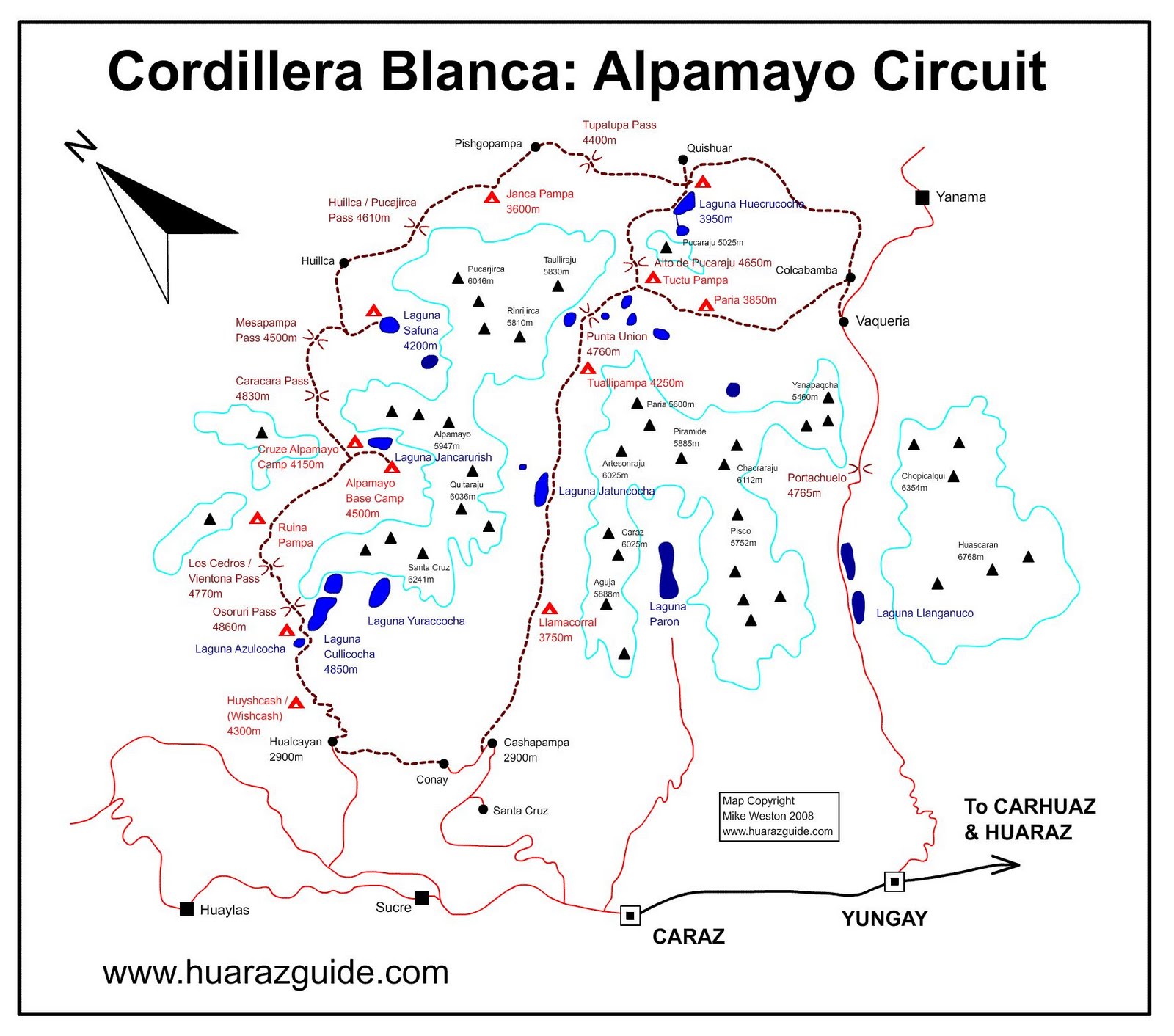
Lake Atuncocha (possibly from Quechua hatun big, large qucha lake, [1] [2] "big lake"), also known as LakeCullicocha [3] (possibly from Quechua kulli a color between blue and carmine (purple, violet, mulberry-colored) [2] is a lake in Peru located in the Ancash Region, Huaylas Province, Santa Cruz District. [4] It is situated at a height of about 4,625 metres (15,174 ft), about 1.88 km long and 0.6 km at its widest point. Lake Atuncocha lies in the Cordillera Blanca, northwest of Santa Cruz and Pergarumi, between Lake Rajucocha in the east and Lake Collorcocha in the west.


Related Research Articles

Department of Ancash Departments of Peru

Ancash is a department of northern Peru. It is bordered by the departments of La Libertad on the north, Huánuco and Pasco on the east, Lima on the south, and the Pacific Ocean on the west. Its capital is the city of Huaraz, and its largest city and port is Chimbote. The name of the region originates from the Quechua word anqash, from anqas (blue) or from anka (eagle).

Santa Cruz (mountain) mountain in Peru

Santa Cruz, Pucaraju,Pukaraju or Pico de Huaylas is a mountain in the Cordillera Blanca in the Andes of Peru; within Santa Cruz District, Huaylas Province, Ancash. It has a height of 6,259 metres (20,535 ft), although other maps cite a height of 6,241 metres (20,476 ft).

Sentilo mountain in Peru

Sentilo is a 5,100-metre-high (16,700 ft) mountain in the Cordillera Blanca in the Andes of Peru. It is located in Ancash Region, Huaylas Province, Santa Cruz District. Sentilo lies at the Punta Unión pass, the highest point of the Santa Cruz valley, south of the mountains Rinrijirca and Pucajirca, southwest of Taulliraju, and northeast of mountains Artesonraju and Parón.

Jatuncocha is a lake in the Cordillera Blanca in the Andes of Peru located in the Ancash Region, Huaylas Province, Santa Cruz District. It is situated at a height of 3,886 m (12,749 ft) comprising an area of 0.486550 km2 (486,550 m2). Jatunccocha lies in the Santa Cruz gorge between the peaks of Quitaraju in the north and Caraz in the south, northeast of a smaller lake named Ichiccocha.

Santa Cruz Creek Peruvian creek

Santa Cruz, is a creek in Peru located in Santa Cruz District, Huaylas Province, Ancash. It is a right tributary of the Santa River.

Taullicocha or Tawlliqucha is a lake in the Cordillera Blanca in the Andes of Peru located in the Ancash Region, Huaylas Province, Santa Cruz District. It is situated at a height of 4,426 m (14,521 ft) comprising an area of 0.133766 km2 (133,766 m2). Taullicocha lies southeast of Pucajirca and southwest of Taulliraju.

Hatun Machay

Hatun Machay is a rock forest with archaeological remains in Peru. It was declared a National Cultural Heritage by Resolución Directoral No. 944/INC-2010 on May 7, 2010. Hatun Mach'ay is situated on the western side of the Cordillera Negra in the Ancash Region, Recuay Province, Pampas Chico District, at a height of about 4,200 metres (13,780 ft).

Carhuascancha mountain in Peru

Carhuascancha or Tumarinaraju is a mountain in the Cordillera Blanca in the Andes of Peru with an elevation of 5,648 metres (18,530 ft) or 5,668 metres (18,596 ft) above sea level. It is situated in the Ancash Region, Huari Province, Huantar District, and in the Huaraz Province, Huaraz District. Carhuascancha lies north-west of Huantsán.

Paccharaju mountain in Peru

Paccharaju is a mountain of 5,744 m (18,845 ft) of elevation in the Cordillera Blanca in the Andes of Peru. In other maps it is shown as comprising two peaks: Rocotuyo of 5,749 m (18,862 ft) and Rayococha of 5,460 m (17,913 ft). It is located between the provinces of Asunción Province and Carhuaz, in Ancash; southwest of mount Tarush Kancha, inside Huascarán National Park.

Milluacocha

Milluacocha is a 5,404-metre-high (17,730 ft) mountain in the Cordillera Blanca range in the Andes of Peru. Other sources claim this mountain has an elevation of 5,480-metre-high (17,979 ft). It is located in Yuracmarca District, Huaylas Province, Ancash. It lies between Santa Cruz in the southeast and Champara in the northwest. Pilanco is located east of it. Los Cedros Creek flows along its southern slopes.

Misquicocha mountain in Peru

Misquicocha is mountain in the north of the Cordillera Blanca in the Andes of Peru, about 5,000 m (16,000 ft) high. It is located in the Ancash Region, Huaylas Province, Yuracmarca District. It lies southwest Champara.

Wira Wira mountain in Peru

Wira Wira is 4,946-metre-high (16,227 ft) mountain in the north of the Cordillera Blanca in the Andes of Peru. It is located in the Ancash Region, Huaylas Province, Yuracmarca District, and in the Pomabamba Province, Pomabamba District. It lies northeast of Pukahirka.

Pergarumi mountain in Peru

Pergarumi or Pirqa Rumi is a mountain in the northern part of the Cordillera Blanca in the Andes of Peru which reaches a height of approximately 5,000 m (16,404 ft). It is located in the Ancash Region, Huaylas Province, Santa Cruz District. Pergarumi lies northwest of Santa Cruz, south of the lakes Atuncocha and Rajucocha.

Kita Raqsa mountain in Peru

Kita Raqsa is a mountain in the Cordillera Blanca in the Andes of Peru which reaches a height of approximately 4,200 m (13,780 ft). It is located in the Ancash Region, Huaylas Province, Yuracmarca District. Kita Raqsa lies northwest of Pilanku.

Hatun Kunka (Huaylas-Yungay) mountain in Peru

Hatun Kunka is a mountain in the Cordillera Negra in the Andes of Peru which reaches a height of approximately 4,400 m (14,436 ft). It is located in the Ancash Region, Huaylas Province, Pamparomas District, and in the Yungay Province, Quillo District.

Rocotopunta mountain in Peru

Rocotopunta is a mountain in the Cordillera Blanca in the Andes of Peru which reaches a height of approximately 5,400 m (17,717 ft). It is located in the Ancash Region, Huaylas Province, Caraz District, and in the Yungay Province, Yungay District. Rocotopunta lies west of Huandoy.

Tawlli Qaqa mountain in Peru

Tawlli Qaqa is a mountain in the Cordillera Blanca in the Andes of Peru which reaches a height of approximately 4,800 m (15,700 ft). It is located in the Ancash Region, Huaylas Province, Santa Cruz District. Tawlli Qaqa lies at the Yuraqmayu valley south of Kitarahu, southwest of Kitaqucha and northwest of Hatunqucha.

Hatun Hirka (Huaylas-Santa)

Hatun Hirka is a mountain in the Cordillera Negra in the Andes of Peru which reaches a height of approximately 3,400 m (11,200 ft). It is located in the Ancash Region, Huaylas Province, Pamparomas District, and in the Santa Province, Cáceres del Perú District, northwest of Pamparomas. It borders the Pacific Ocean.

Lake Pucacocha is a lake in the Cordillera Blanca in the Andes of Peru. It is situated at a height of 4,494 m (14,744 ft) comprising an area of 0.277201 km2 (277,201 m2). Pukaqucha is located in the Ancash Region, Huaylas Province, Yuracmarca District, northwest of the highest peak of Pucajirca.

Yuraqqucha is a lake in the Cordillera Blanca in the Andes of Peru. It is situated at a height of 4,618 m (15,151 ft) comprising an area of 0.287268 km2 (287,268 m2). Pukaqucha is located in the Ancash Region, Huaylas Province, Santa Cruz District, northwest of the peak of Pukarahu.

References

  1. Diccionario Quechua - Español - Quechua, Academía Mayor de la Lengua Quechua, Gobierno Regional Cusco, Cusco 2005 (Quechua-Spanish dictionary)
  2. 1 2 Teofilo Laime Ajacopa, Diccionario Bilingüe Iskay simipi yuyayk'ancha, La Paz, 2007 (Quechua-Spanish dictionary)
  3. blogspot.com Sketchmap of the area showing "Laguna Cullicocha"
  4. escale.minedu.gob.pe - UGEL map of the Huaylas Province (Ancash Region)