| Lake Fianga | |
|---|---|
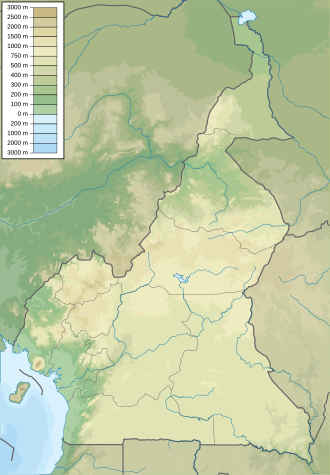
 The Lake Fianga (center) with the Logone in the east and the canal to the Mayo Kebi in the south west. | |
 Lake Fianga  Lake Fianga | |
| Coordinates | 9°58′N15°12′E / 9.967°N 15.200°E |
| Primary inflows | Logone River |
| Primary outflows | Mayo Kebbi |
| Basin countries | Chad, Cameroon |
Lake Fianga is a lake in Chad and Cameroon. It does not have clearly delineated borders, as it forms the western border of an area of permanent swampland. [1] The lake forms with the seasonal flooding of the Logone River.