| Lake Higa | |
|---|---|
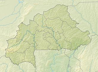 Lake Higa | |
| Location | Burkina Faso |
| Coordinates | 13°36′49″N0°43′18″E / 13.613622°N 0.721664°E |
| Primary outflows | Babangou |
| Basin countries | Burkina Faso |
| Surface area | 228 ha (560 acres) |
| Surface elevation | 271 m (889 ft) |
| Official name | Lac Higa |
| Designated | 7 October 2009 |
| Reference no. | 1883 [1] |
Lake Higa is a small lake in eastern Burkina Faso, close to the border with Niger. It drains into the Babangou, which drains into the Niger. [2] It has an area of 228 ha. [2] It lies at an elevation of 271 m (889 feet). [3] In 2009 the site around Lake Higa was included in the List of Ramsar wetlands of international importance. [4]