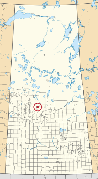
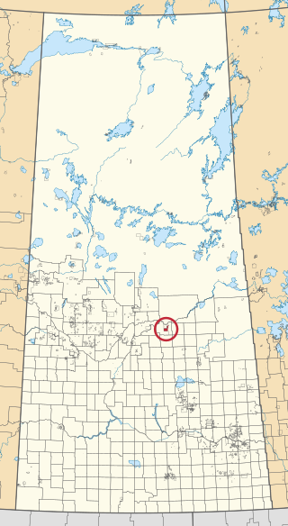
Leacross [1] is a hamlet in Saskatchewan. It is accessed from Highway 35.
Leacross [1] is a hamlet in Saskatchewan. It is accessed from Highway 35.
Armley is an unincorporated community in the Rural Municipality of Connaught No. 457, Saskatchewan, Canada. Approximately halfway between Tisdale and Nipawin, northwest of the intersection of Highway 35 and Highway 335. Armley was the site of the Humboldt Broncos bus crash, killing 16 hockey players and personnel from a team in the city of Humboldt.
Ridgedale is a village in the Canadian province of Saskatchewan within the Rural Municipality of Connaught No. 457 and Census Division No. 14. It is situated on the banks of the Carrot River.

Fort de la Corne was one of the two French forts established on the Saskatchewan River in the 20 years between the end of La Vérendrye's push west from Lake Superior in 1731–1743 and the fall of New France in 1763.

The Saskatchewan Transportation Company (STC) was a Crown corporation in the Canadian province of Saskatchewan responsible for operating intercity bus routes in the province from 1946 to 2017. Created in 1946 by an Order in Council giving the company a mandate to provide service between major urban centres and to as much of the rural population as possible, STC was a wholly owned subsidiary of the Crown Investments Corporation of Saskatchewan.

Ahtahkakoop 104 is an Indian reserve of the Ahtahkakoop Cree Nation in Saskatchewan. It is about 72 kilometres (45 mi) northwest of Prince Albert. In the 2016 Canadian Census, it recorded a population of 1,472 living in 386 of its 424 total private dwellings. In the same year, its Community Well-Being index was calculated at 46 of 100, compared to 58.4 for the average First Nations community and 77.5 for the average non-Indigenous community.
Choiceland is a town located in Saskatchewan, Canada. Choiceland is located an hour or so from Prince Albert, a larger Saskatchewan city.
The Lac La Ronge Indian Band is a Woodland Cree First Nation in northern Saskatchewan, it is the largest Cree band government in Canada and the largest First Nation in Saskatchewan. The administrative centre of the Lac La Ronge Indian Band is located in La Ronge.
Minton is a village in the Canadian province of Saskatchewan within the Rural Municipality of Surprise Valley No. 9 and Census Division No. 2. It is on Highway 6 just north of its intersection with Highway 18, 19 km north of the Raymond-Regway Border Crossing on the Montana-Saskatchewan border. The village was named after Minton, Shropshire in England. The name was given by the Canadian Pacific Railway.
Pleasantdale is a village in the Canadian province of Saskatchewan within the Rural Municipality of Pleasantdale No. 398 and Census Division No. 14.
Smeaton is a village in the Canadian province of Saskatchewan within the Rural Municipality of Torch River No. 488 and Census Division No. 14. It is at the foot of Hanson Lake Road, which ends at Creighton near Flin Flon, Manitoba). Narrow Hills Provincial Park is 70 km north.
Beth Israel Synagogue is a historic Carpenter Gothic style Orthodox synagogue located in Edenbridge in the rural municipality of Willow Creek, near Melfort, Saskatchewan, Canada. The Edenbridge Hebrew Colony was founded in 1906 by Jewish immigrants who came from Lithuania via South Africa. Completed in 1908, the synagogue's wooden frame exterior, steep pitched roof and end lancet windows are typical of the plain Carpenter Gothic style buildings built by other religious groups in Saskatchewan and the rest of rural North America during the late 19th and early 20th centuries. The elegant interior, however, reflects the Eastern European roots of the Orthodox congregation. Today Beth Israel is the "oldest surviving synagogue in Saskatchewan."
Silton is a village in the Canadian province of Saskatchewan within the Rural Municipality of McKillop No. 220 and Census Division No. 6.
Ceylon is a village in the Canadian province of Saskatchewan within the Rural Municipality of The Gap No. 39 and Census Division No. 2. It is located alongside Gibson Creek, which is a tributary of Long Creek. No shops or businesses other than the bar remain.
Codette is a village in the Canadian province of Saskatchewan within the Rural Municipality of Nipawin No. 487 and Census Division No. 14. The village is located 10 km south of Nipawin at the junction of Highway 35 and Highway 789.
Birch Lake is an unincorporated community in Medstead Rural Municipality No. 497, Saskatchewan, Canada. The community is located about 10 km (6.2 mi) north of Highway 3 on Range Road 145, approximately 20 km (12 mi) north of Medstead.
Nipawin was a provincial electoral district for the Legislative Assembly of the province of Saskatchewan, Canada. This district was created before the 9th Saskatchewan general election in 1938 as "Torch River", after the rural municipality and the river that flows through it. Redrawn and renamed "Nipawin" in 1952, the constituency was dissolved before the 23rd Saskatchewan general election in 1995.

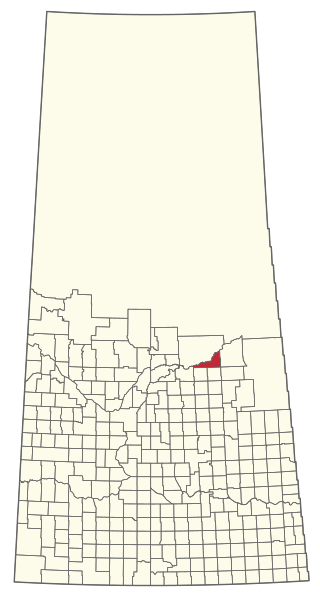
The Rural Municipality of Nipawin No. 487 is a rural municipality (RM) in the Canadian province of Saskatchewan within Census Division No. 14 and SARM Division No. 4.

Lewvan is an unincorporated community in Scott Rural Municipality No. 98 in the province of Saskatchewan, Canada. Located on highway 306, approximately 53 km northwest of the city of Weyburn. The community was named by the Grand Trunk Railway after Louis W. Van Morristran, the original owner of the town site in 1902, in 1911 the Grand Trunk laid out the town of Lewvan.

James Smith 100 is an Indian reserve of the James Smith Cree Nation in Saskatchewan. It is about 58 kilometres (36 mi) east of Prince Albert. In the 2016 Canadian Census, it recorded a population of 743 living in 152 of its 152 total private dwellings. In the same year, its Community Well-Being index was calculated at 46 of 100, compared to 58.4 for the average First Nations community and 77.5 for the average non-Indigenous community.

Cumberland 100A is an Indian reserve of the James Smith Cree Nation in Saskatchewan. It is 161 kilometres (100 mi) south-east of Prince Albert. The 2016 Canadian Census, recorded a population of 317 living in 79 of its 82 total private dwellings. In the same year, its Community Well-Being index was calculated at 50 of 100, compared to 58.4 for the average First Nations community and 77.5 for the average non-Indigenous community.
53°02′44″N104°02′36″W / 53.04556°N 104.04333°W