Lhotka | |
|---|---|
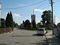
 View towards Lhotka | |
 Flag  Coat of arms | |
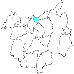 Location of Lhotka in Ostrava | |
| Coordinates: 49°51′21″N18°13′59″E / 49.85583°N 18.23306°E | |
| Country | |
| Region | Moravian-Silesian |
| Municipality | Ostrava |
| Area | |
• Total | 2.14 km2 (0.83 sq mi) |
| Population (2021) [1] | |
• Total | 1,333 |
| • Density | 620/km2 (1,600/sq mi) |
| Time zone | UTC+1 (CET) |
| • Summer (DST) | UTC+2 (CEST) |
| Postal code | 725 28 |
| Website | lhotka |
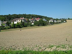
Lhotka is a borough and municipal part of the city of Ostrava in the Czech Republic. It is situated in the northern part of the city, on the left bank of the Oder River. It was a separate municipality until April 1976, when it merged with Ostrava. [2] On 24 November 1990, it became one of the 23 self-governing boroughs of Ostrava. [3]