
Edgar County is a county located in the U.S. state of Illinois. As of the 2010 United States Census, the population was 18,576. Its county seat is Paris.
The Gwydir Highway is a 566-kilometre (352 mi) state highway in northern New South Wales, Australia.

Google, LLC is an American multinational technology company that specializes in Internet-related services and products, which include online advertising technologies, a search engine, cloud computing, software, and hardware. It is considered one of the Big Four technology companies in the U.S. information technology industry, alongside Amazon, Apple, and Microsoft.

Google Maps is a web mapping service developed by Google. It offers satellite imagery, aerial photography, street maps, 360° interactive panoramic views of streets, real-time traffic conditions, and route planning for traveling by foot, car, bicycle and air, or public transportation. In 2020, Google Maps was used by over 1 billion people every month.

Google Earth is a computer program, formerly known as Keyhole EarthViewer, that renders a 3D representation of Earth based primarily on satellite imagery. The program maps the Earth by superimposing satellite images, aerial photography, and GIS data onto a 3D globe, allowing users to see cities and landscapes from various angles. Users can explore the globe by entering addresses and coordinates, or by using a keyboard or mouse. The program can also be downloaded on a smartphone or tablet, using a touch screen or stylus to navigate. Users may use the program to add their own data using Keyhole Markup Language and upload them through various sources, such as forums or blogs. Google Earth is able to show various kinds of images overlaid on the surface of the earth and is also a Web Map Service client. Recently Google has revealed that Google Earth now covers more than 98 percent of the world, and has captured 10 million miles of Street View imagery, a distance that could circle the globe more than 400 times.

Alberta Provincial Highway No. 28, commonly referred to as Highway 28, is a highway in north-central Alberta, Canada that connects Edmonton to Cold Lake. It begins at Yellowhead Trail (Highway 16) in Edmonton as 97 Street NW, running through the city's north suburbs before entering Sturgeon County and passing CFB Edmonton. After merging with Highway 28A near Gibbons it winds through agricultural lands of north-central Alberta, roughly paralleling the North Saskatchewan River until Smoky Lake before continuing east through St. Paul County to Bonnyville. It turns northeast to CFB Cold Lake, before ending at Lakeshore Drive in the city of Cold Lake shortly thereafter.

Google Street View is a technology featured in Google Maps and Google Earth that provides interactive panoramas from positions along many streets in the world. It was launched in 2007 in several cities in the United States, and has since expanded to include cities and rural areas worldwide. Streets with Street View imagery available are shown as blue lines on Google Maps.

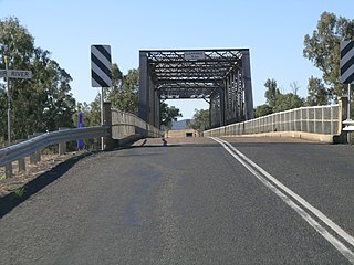
B roads are numbered routes in Great Britain of lesser importance than A roads. See the article Great Britain road numbering scheme for the rationale behind the numbers allocated.

Gayaza is a town in Wakiso District in the Buganda Region of Uganda.
Waze is a GPS navigation software app owned by Google. It works on smartphones and tablet computers that have GPS support. It provides turn-by-turn navigation information and user-submitted travel times and route details, while downloading location-dependent information over a mobile telephone network. Waze describes its app as a community-driven GPS navigation app, which is free to download and use.
Lindenbach is a river of Baden-Württemberg, Germany. It is a right tributary of the Glems in Ditzingen.

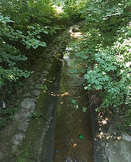
Starzel is a river of Baden-Württemberg, Germany. It is a right tributary of the Neckar west of Rottenburg am Neckar.
Apple Maps is a web mapping service developed by Apple Inc. It is the default map system of iOS, iPadOS, macOS, and watchOS. It provides directions and estimated times of arrival for automobile, pedestrian, and public transportation navigation. Apple Maps also features Flyover mode, a feature that enables a user to explore certain densely populated urban centers and other places of interest in a 3D landscape composed of models of buildings and structures.
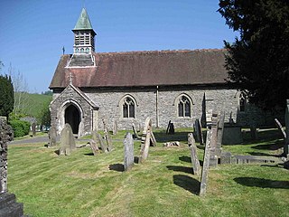
Llanbadarn Fynydd is a village and community in Radnorshire, Powys, Wales, and is 63 miles (101 km) from Cardiff and 149 miles (240 km) from London.

Rott is a river of Bavaria, Germany.

The Hilton Garden Inn Kampala, part of the Hilton Garden Inn chain, is a hotel in Kampala, the capital and largest city of Uganda. The building, under development since 2018, was commissioned in May 2019.