Related Research Articles

Taylor County is a county located in the west central portion of the U.S. state of Georgia. As of the 2020 census, the population was 7,816. The county seat and largest city is Butler.

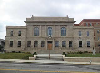
Spalding County is a county located in the west central portion of the U.S. state of Georgia. As of the 2020 census, the population was 67,306. The county seat is Griffin. The county was created December 20, 1851, and named for former United States representative and senator Thomas Spalding.

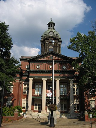
Meriwether County is a county located in the west central portion of the U.S. state of Georgia. As of the 2020 census, the population was 20,613. The county seat is Greenville, home of the Meriwether County Courthouse. The county was formed on December 14, 1827, as the 73rd county in Georgia. It was named for David Meriwether, a general in the American Revolutionary War and member of Congress from Georgia.
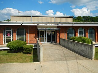
Heard County is a county located in the west central portion of the U.S. state of Georgia. At the 2020 census, the population was 11,412, down from 11,834 in 2010. The county seat is Franklin. The county was created on December 22, 1830.

Fayette County is a county located in the north central portion of the U.S. state of Georgia. As of the 2020 census, the population was 119,194, an increase from 106,567 in 2010. Fayette County was established in 1821. The county seat, Fayetteville, was established in 1823. Much of Fayette County is bordered on the east side by the Flint River.
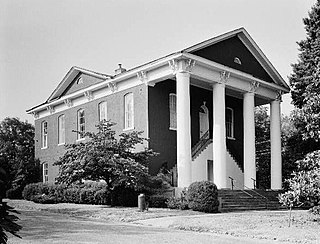
Coweta County is a county located in the west central portion of the U.S. state of Georgia. It is part of Metro Atlanta. As of the 2020 census, the population was 146,158. The county seat is Newnan.
Carroll County is a county located in the northwestern part of the State of Georgia. As of the 2020 census, its population was 119,148. Its county seat is the city of Carrollton. Carroll County is included in the Atlanta–Sandy Springs–Roswell metropolitan statistical area and is also adjacent to Alabama on its western border.

Tyrone is a town in Fayette County, Georgia, United States. The population was 7,658 in 2020. The estimated population in 2018 was 7,388. It is a part of the Atlanta metropolitan area.

Centralhatchee is a small village in Heard County, Georgia, United States. The population was 348 in 2020.

Greenville is a city and the county seat of Meriwether County, Georgia, United States. The population was 794 at the 2020 census, down from 876 in 2010. The city is located 60 miles (97 km) southwest of Atlanta and is part of the Atlanta metropolitan area.

Luthersville is a city in Meriwether County, Georgia, United States. The population was 776 at the 2020 census, down from 874 in 2010.
Campbell County was a county of the U.S. state of Georgia from 1828 to 1931. It was created by the state legislature on December 20, 1828, from land taken from Fayette, Coweta, and Carroll counties, and from the half of DeKalb County which became Fulton County soon afterward. Georgia's Cherokee Land Lottery of 1832 also added to the county. The county was named for Duncan G. Campbell, one of the U.S. commissioners responsible for the Treaty of Indian Springs.

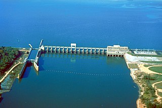
The Chattahoochee River is a river in the Southern United States. It forms the southern half of the Alabama and Georgia border, as well as a portion of the Florida and Georgia border. It is a tributary of the Apalachicola River, a relatively short river formed by the confluence of the Chattahoochee and Flint rivers and emptying from Florida into Apalachicola Bay in the Gulf of Mexico. The Chattahoochee River is about 430 miles (690 km) long. The Chattahoochee, Flint, and Apalachicola rivers together make up the Apalachicola–Chattahoochee–Flint River Basin. The Chattahoochee makes up the largest part of the ACF's drainage basin.
The Flint River is a 344-mile-long (554 km) river in the U.S. state of Georgia. The river drains 8,460 square miles (21,900 km2) of western Georgia, flowing south from the upper Piedmont region south of Atlanta to the wetlands of the Gulf Coastal Plain in the southwestern corner of the state. Along with the Apalachicola and the Chattahoochee rivers, it forms part of the ACF basin. In its upper course through the red hills of the Piedmont, it is considered especially scenic, flowing unimpeded for over 200 miles (320 km). Historically, it was also called the Thronateeska River.
Georgia's 3rd congressional district is a congressional district in the U.S. state of Georgia. The district is currently represented by Republican Drew Ferguson. The district's boundaries have been redrawn following the 2010 census, which granted an additional congressional seat to Georgia. The first election using the new district boundaries were the 2012 congressional elections.
The New River is a 24.5-mile-long (39.4 km) tributary of the Chattahoochee River in Coweta and Heard counties in the U.S. state of Georgia. Rising 4 miles (6 km) south of the city of Newnan, the New River flows generally southwest, reaching the Chattahoochee at West Point Lake approximately 8 miles (13 km) west of Hogansville.

Spring Creek is a 76.5-mile-long (123.1 km) tributary of the Flint River in southwest Georgia in the United States.

The Towaliga River is a 52.3-mile-long (84.2 km) tributary of the Ocmulgee River in central Georgia. The Towaliga begins in Henry County and passes through High Falls State Park in northwestern Monroe County, then traverses the county and joins the Ocmulgee near the town of Juliette. The river begins north of Cole Reservoir in Henry County where it is joined by multiple creeks, including Thompson Creek, Troublesome Creek in Spalding County, Long Branch, and Lee Creek to gain size. The river is fairly muddy above High Falls Lake, but it clears once below the falls where most of the river is rock bottomed. This region is about 50 miles (80 km) south of Atlanta and about 35 miles (56 km) north of Macon.
Flint River Council is a Boy Scouts of America council based in Griffin, Georgia. The council is divided into four districts Coweta, Fayette, Ronotohatchi, and Tussahaw.
Walnut Creek is a 30-mile-long (48 km) tributary of the South River in the U.S. state of Georgia. It originates in the city of Hampton in Henry County and flows into South River, which is a branch of the Ocmulgee River.
References
- ↑ U.S. Geological Survey Geographic Names Information System: Line Creek (Flint River tributary)
- 1 2 Krakow, Kenneth K. (1975). Georgia Place-Names: Their History and Origins (PDF). Macon, GA: Winship Press. p. 133. ISBN 0-915430-00-2.
33°11′00″N84°29′50″W / 33.18333°N 84.49722°W