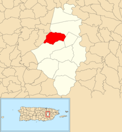
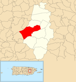
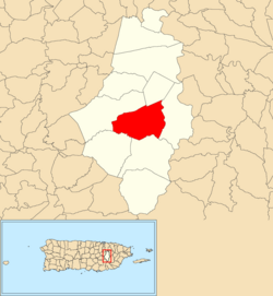
Like all municipalities of Puerto Rico, Caguas is subdivided into administrative units called barrios , which are, in contemporary times, roughly comparable to minor civil divisions, [1] (and means wards or boroughs or neighborhoods in English). The barrios and subbarrios, [2] in turn, are further subdivided into smaller local populated place areas/units called sectores (sectors in English). The types of sectores may vary, from normally sector to urbanización to reparto to barriada to residencial, among others. [3] [4] [5] [6] [7] [8]
Contents
- List of sectors by barrio
- Beatriz
- San Salvador
- Borinquen
- Tomás de Castro
- Río Cañas
- Cañabón
- Cañaboncito
- San Antonio
- Pueblo
- Turabo
- Bairoa
- See also
- Internet Links
- References
The 11 barrios of the municipality of Caguas are further subdivided into a total of 461 sectores. The number of sectores in a barrio varies widely from 10 (Barrio San Antonio) to 90 (Barrio Cañabóncito) and 101 (Barrio-Pueblo). [9]


