Related Research Articles

County Wicklow is a county in Ireland. The last of the traditional 32 counties, having been formed as late as 1606, it is part of the Eastern and Midland Region and the province of Leinster. It is bordered by the Irish Sea to the east and the counties of Wexford to the south, Carlow to the southwest, Kildare to the west, and South Dublin and Dún Laoghaire–Rathdown to the north.

County Clare is a county in Ireland, in the Southern Region and the province of Munster, bordered on the west by the Atlantic Ocean. Clare County Council is the local authority. The county had a population of 118,817 at the 2016 census. The county town and largest settlement is Ennis.

The River Liffey is a river in eastern Ireland that ultimately flows through the centre of Dublin to its mouth within Dublin Bay. Its major tributaries include the River Dodder, the River Poddle and the River Camac. The river supplies much of Dublin's water and supports a range of recreational activities.

Shannon or Shannon Town, named after the river near which it stands, is a town in County Clare, Ireland. It was given town status on 1 January 1982. The town is located just off the N19 road, a spur of the N18/M18 road between Limerick and Ennis. It is the location of Shannon Airport, an international airport serving the Clare/Limerick region in the west of Ireland.

Killaloe is a large village in east County Clare, Ireland. The village lies on the River Shannon on the western bank of Lough Derg and is connected by Killaloe Bridge to the "twin town" of Ballina on the eastern bank of the lake.
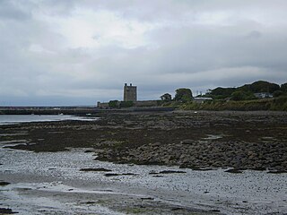
Carrigaholt is a small fishing village in County Clare, Ireland, a castle and a Catholic parish by the same name. The area was officially classified as part of the West Clare Gaeltacht; an Irish-speaking community; until 1956.
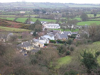
Hollywood is a village in west County Wicklow, Ireland. It is situated on the Wicklow Gap road, near its junction with the N81 national secondary road. It is known for its pre-1950s themed fair which takes place in August of every year. A population of less than 100 people registered in the 2002 Census, though the community draws from a larger area which consists of about 500 people.
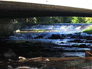
The River Vartry is a river in County Wicklow, Ireland, and an important water source for the city of Dublin.
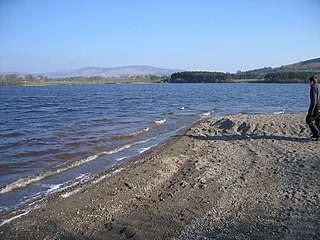
Poulaphouca Reservoir, officially Pollaphuca, is an active reservoir and area of wild bird conservation in west County Wicklow, Ireland named after the Poulaphouca waterfall on its south-western end where the water exits the lake. The lake is also commonly known as the Blessington Lakes, even though there is just one.
Saint Molua, , was an Irish saint, who was a Christian abbot in the Early Middle Ages. Saint Molua's feast day is on 4 August. He is venerated in the Catholic Church and Eastern Orthodox Church.
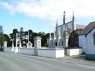
Valleymount is a small village in western County Wicklow, Ireland.

Ballyknockan or Ballynockan is a village and townland in County Wicklow, Ireland.
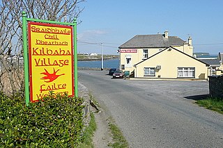
Kilbaha is a small fishing village in County Clare, Ireland. It is located close to the western end of the Loop Head peninsula on the R487 road.

Killimer is a village in County Clare, Ireland, in a civil parish of the same name. It is located on the northern bank of the Shannon and the N67 which passes through the village.

Killaloe is a civil parish in County Clare, Ireland. The main settlement is the town of Killaloe.

Killofin is a civil parish in County Clare in Ireland. It contains the village of Labasheeda and is part of the Catholic parish of Kilmurry McMahon.

St. Mark's Cross is a high cross and National Monument located in Blessington, County Wicklow, Ireland.
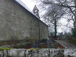
St. Cronan's Church is a 10th-century Church of Ireland church in Tuamgraney, County Clare, Ireland. It is the oldest church in continuous use in Ireland. The Tuamgraney parish operates as a unit with the Mountshannon parish in the Killaloe Union of parishes in the Diocese of Limerick and Killaloe.

St. Molua's Church, Killaloe is a medieval church and National Monument in Killaloe, Ireland.
Killaloe is a parish in County Clare and part of the Scáth na Sionnaine grouping of parishes within the Roman Catholic Diocese of Killaloe.
References
- ↑ "Many families who lived at Poulaphouca Reservoir moved to Kildare". www.leinsterleader.ie.
- 1 2 "The Sunken Towns of Ireland". 14 January 2004.
- ↑ O'Brien, Tim. "Undersea hunt begins for 'lost landscapes' off Irish coast". The Irish Times.
- ↑ Sites (www.communitysites.co.uk), Community. "Srahwee Wedge Tomb and Submerged Forest - Places - Louisburgh-Killeen Heritage". www.louisburgh-killeenheritage.org.
- ↑ "Underwater Archaeology - National Monuments Service". www.archaeology.ie.
- ↑ Montgomery, Bob. "Haunting tales of submerged villages and steam trams in the Ghost's Hole". The Irish Times.
- ↑ "Demolition of St. Lua's Church, Killaloe, Co. Clare, Ireland · Royal Society of Antiquaries of Ireland".
- ↑ "Transportation of St. Lua's Church, Killaloe, Co. Clare, Ireland · Royal Society of Antiquaries of Ireland".