South Holland is a village and south suburb of Chicago in Cook County, Illinois, United States, within Thornton Township. The population was 21,465 at the 2020 census.

Dinxperlo is a town and former municipality in the eastern Netherlands, situated directly at the Germany-Netherlands border.

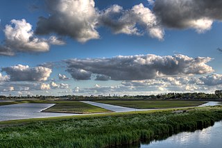
Ruurlo is a village and former municipality in the province of Gelderland in the eastern part of the Netherlands.

Mayville is a village in Chautauqua County, New York, United States. The population was 1,477 at the 2020 census, 13.7% less than in the 2010 census. Mayville is in the town of Chautauqua and is the county seat of Chautauqua County. The village and town offices share a building on Main Street, directly across from the Chautauqua County courthouse.

Oosterbeek is a village in the eastern part of Netherlands. It is located in the municipality of Renkum in the province of Gelderland, about 5 km (3.1 mi) west of Arnhem.
Sinshih District, alternatively spelled Xinshi, is a rural district in central Tainan, Taiwan, about 11 km north of Fort Provintia. As Sincan, it was one of the most important stations of the Dutch East India Company (VOC) in the 17th century. Missionary work formally began and the largest amount of inland trade occurred at Sinkan.

Operation Blackcock was an operation to clear German troops from the Roer Triangle, formed by the towns of Roermond and Sittard in the Netherlands and Heinsberg in Germany during the fighting on the Western Front in the Second World War. It was conducted by the British Second Army between 13 and 26 January 1945. The objective was to drive the German 15th Army back across the rivers Roer and Wurm and move the frontline further into Germany. The operation was carried out by Lieutenant-General Neil Ritchie's XII Corps by three divisions: the 7th Armoured Division, the 43rd (Wessex) Infantry Division and the 52nd (Lowland) Infantry Division. The operation, named after the Scottish male black grouse, is relatively unknown.

The Coast Tram is a light rail public transport service connecting the cities and towns along the Belgian coast between De Panne, near the French border, and Knokke-Heist, near the Dutch border. At 67 kilometres (42 mi) in length, it is currently the world's longest metre gauge tram line in service, and the second-longest light rail service in the world after the A Line of the Los Angeles Metro Rail system, as well as one of the few interurban tramways in the world to remain in operation. The line is fully electrified at 600 V DC.

Elst is a town in the municipality of Overbetuwe in the Dutch province of Gelderland. It is situated in the Betuwe, between the cities of Arnhem and Nijmegen. In January 2022 the town had 22,509 inhabitants.

Arcen is a village in the Dutch province of Limburg. In 2010, it became part of the municipality of Venlo. Previously, it had been part of the municipality of Arcen en Velden and the seat of the town hall.

Harkstede ; Gronings: Haarkstee ) is a small village in the northeastern Netherlands. It is located in Midden-Groningen, Groningen. Harkstede is located near the "Meerstad Project" of the municipality of Groningen, however, it is no longer part of the project.

Andel is a village in the municipality of Altena, North Brabant, in the Netherlands. It is located about 7 km southeast of Gorinchem.

Steenwijkerwold is a village in the Dutch province of Overijssel. It is located in the municipality of Steenwijkerland, about 5 km northwest of Steenwijk. Steenwijkerwold was a separate municipality until 1973, when it became a part of Steenwijk.

Steenbergen [ˈsteːmbɛrɣə(n)] is a village in the Netherlands and is part of the Noordenveld municipality in Drenthe. The hunebed (dolmen) D1 is located near the village.

Riethoven is a village in the Dutch province of North Brabant. It is located in the municipality of Bergeijk, about 15 km (9.3 mi) southwest of Eindhoven. The adjacent township of Walik is in general considered to be a part of Riethoven. Riethoven was originally called Rijthoven, but with time it changed into Riethoven. In Dutch The name means: farms at the Rijt, the Rijt being a river near the municipality.

Carolina is a resort in Suriname, located in the Para District. Its population at the 2012 census was 343. Most of the inhabitants are indigenous.
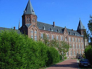
Kolleg St. Ludwig is a Maharishi European Research University (MERU) campus located in Vlodrop, The Netherlands. It was originally built in 1909, used as a Franciscan friary and boarding school and purchased by the Maharishi Foundation in 1984. The campus is near the villages of Vlodrop-station and Vlodrop in Limburg, the Netherlands, adjacent to the Dutch–German border and the defunct Iron Rhine railroad, and is surrounded by Meinweg National Park.

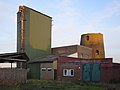
Dutch: De Nolet is a wind turbine in Schiedam, Netherlands that is disguised as a traditional Schiedam windmill. De Nolet has a tower height of 43 metres (141 ft) and a gross height of 55 metres (180 ft) including its rotor tips. The turbine's rated capacity is 150 kW.

Overlangbroek is a former village in the Dutch province of Utrecht. It is a part of the municipality of Wijk bij Duurstede, and lies about 11 km southeast of Zeist. The village officially merged with Nederlangbroek into Langbroek in 1978.
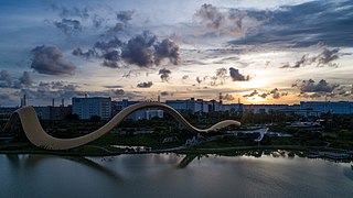
Willem-Alexander Baan is an artificial lake in the Dutch village of Zevenhuizen near Rotterdam. It has been used as a rowing regatta venue since 2012 and hosted the 2016 World Rowing Championships.