Lolelia sub-county | |
|---|---|
| Etymology: from the administrative center, Lolelia | |
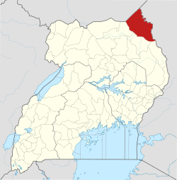
 Lolelia sub-county Location of Lolelia sub-county in Uganda | |
| Coordinates: 3°31′48.24″N34°2′46.59″E / 3.5300667°N 34.0462750°E | |
| Country | Uganda |
| Region | Northern |
| District | Kaabong District |
| Population (2010) [1] | |
• Total | 39,665 |
| Time zone | UTC+3 (EAT) |
Lolelia sub-county is a subdivision of Dodoth County in Kaabong District of northern Uganda.