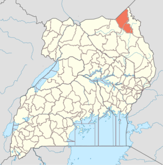
Kotido District is a district in Northern Uganda. It is named after its 'chief town', Kotido, where the district headquarters are located.

Moroto District is a district in the Northern Region of Uganda. The town of Moroto is the site of the district headquarters.

The Karamojong or Karimojong are a Nilotic ethnic group. They are agro-pastoral herders living mainly in the north-east of Uganda. Their language is also known as ngaKarimojong and is part of the Nilotic language family. Their population is estimated at 475,000 people.

Moroto is a town in Moroto District in the Northern Region of Uganda. The town serves as the location of the district headquarters.

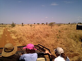
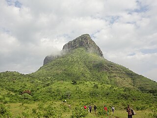
Kidepo Valley National Park is a 1,442 square kilometres (557 sq mi) national park in the Karamoja region in northeast Uganda. Kidepo is rugged savannah, dominated by the 2,750 metres (9,020 ft) Mount Morungole and transected by the Kidepo and Narus rivers.

The Karamoja sub-region, commonly known as Karamoja, is a region in Uganda. It covers an area of 27,528km and comprises the Kotido District, Kaabong District, Karenga District, Nabilatuk District, Abim District, Moroto District, Napak District, Amudat District and Nakapiripirit District. The region is projected to have a population of 1.4 millions in 2022 by UBOS.

Kotido is a town in the Northern Region of Uganda. It is the chief municipal, administrative, and commercial center of the Kotido District and the site of the district headquarters.
Nakapiripirit is a town in the Nakapiripirit District of the Northern Region of Uganda. It is the seat of the district headquarters. As an administrative unit of the district, it is one of the eight sub-counties in the district.
Amuria is a town in the Eastern Region of Uganda. It is the chief municipal, administrative, and commercial center of Amuria District, in the Teso sub-region.

Abim District is a district in Northern Uganda. It is named after its 'chief town', Abim, where the district headquarters are located.
Abim is a town in the Northern Region of Uganda. It is the chief municipal, administrative, and commercial center of Abim District. The district is named after the town.

Kaabong is a town in the Northern Region of Uganda. It is the chief municipal, administrative and commercial center of the eponymous Kaabong District, and the district headquarters are located in the town.

Amudat District is a district in Northern Uganda. Like most Ugandan districts, it is named after its 'chief town', Amudat, where the district headquarters are located.

Napak District is a district in Northern Uganda. It is named after Mount Napak, and its headquarters is at Lokitede.
Napak is a town in Northern Uganda. It is the commercial, administrative and municipal headquarters of Napak District. The district is named after the town.

The Jie are an ethnic group in Uganda. They belong to the Karamojong Cluster, which also includes the Karamojong and Dodoth people. Their country in northeast Uganda lies between the Dodoth to the north and the Karamojong to the south.
Karenga sub-county is a subdivision of Dodoth County in Kaabong District of northern Uganda. Kidepo Valley National Park forms the northern half of the sub-county.

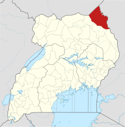
Karenga District is a district in Northern Uganda, in the Karamoja sub-region. The district headquarter is located in Karenga town. It was carved out of Kaabong District and became operational on July 1, 2019. The district has two constituencies: Dodoth West and Napore West. It borders South Sudan and Kaabong District. The population is 84,100, divided over 7 sub-counties and 3 town councils.

Rose Lilly Akello is a Ugandan politician and social worker representing Karenga District as the district woman member of parliament in the eleventh parliament of Uganda. In the ninth and tenth parliament, she served as the district woman member of parliament representing Kaabong District. Rose opted to represent Karenga District instead of Kaabong district because Karenga was carved out of Kaabong on 1 July 2019. She became the Kaabong District Woman MP after winning a by-election in 2017 against Ms Christine Tubo Nakwang. She is affiliated to the ruling political party, NRM.
Kitgum–Kidepo Road is a road in the Northern Region of Uganda, connecting the town of Kitgum in Kitgum District and the town of Apoka, in Kaabong District, inside Kidepo Valley National Park.


