Mbale District is a district in Eastern Uganda. It is named after the largest city in the district, Mbale, which also serves as the main administrative and commercial center in the sub-region.
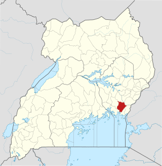
Bugiri District is a district in Eastern Uganda. Like most other Ugandan districts, it is named after its 'chief town', Bugiri, where the district headquarters are located.
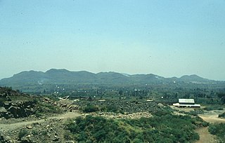
Tororo District is a district in the Eastern Region of Uganda. The town of Tororo serves as the district headquarters.
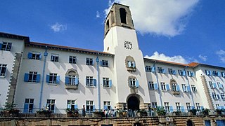
Makerere University is Uganda's largest and oldest institution of higher learning, first established as a technical school in 1922, and the oldest currently active university in East Africa. It became an independent national university in 1970. Today, Makerere University is composed of nine colleges and one school offering programmes for about 36,000 undergraduates and 4,000 postgraduates. These colleges include College of Natural Sciences (CONAS), College of Health Sciences (CHS), College of Engineering Art & Design (CEDAT), College of Agriculture and Environmental Studies (CAES), College Of Business and Management Sciences (CoBAMS), College of Humanities & Social Sciences (CHUSS), College of Computing and Information Sciences (COCIS), College of Veterinary Medicine, Animal Resources & Bio-security (COVAB), College of Education and External Studies (CEES) and Makerere University Business School (MUBS). In addition, Makerere has onother campus in Eastern Uganda Jinja City.
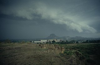
Tororo is a town in the Eastern Region of Uganda. It is the main municipal, administrative, and commercial center of Tororo District.

Mbale is a city in the Eastern Region of Uganda. It is the main municipal, administrative, and commercial center of Mbale District and the surrounding sub-region.

Iganga is a town in the Eastern Region of Uganda. It is the main municipal, administrative, and commercial center of Iganga District.

Amuria District is a district in the Eastern Region of Uganda. The town of Amuria serves as the district headquarters.
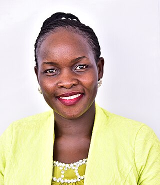
Butaleja District is a district in Eastern Uganda. It is named after its main town, Butaleja, where the district headquarters are located.
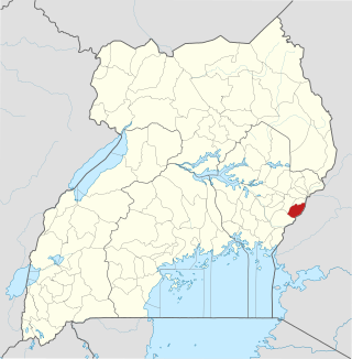
Manafwa District is a district in the Eastern Region of Uganda. Manafwa is the district headquarters.
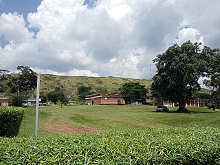
Busitema University (BU) is a university in Uganda. It is one of the public universities and degree-awarding institutions in the country. It has six different campuses around the country; all situated in the Eastern Region of Uganda. The university also has a study center in the town of Tororo, focusing on short and skill-based training courses.

Kumi Town, commonly called Kumi, is a town in the Eastern Region of Uganda. It is the main municipal, administrative, and commercial center in Kumi District and the site of the district headquarters.

Busia is a town in the Eastern Region of Uganda. It is the main municipal, administrative, and commercial center of the Busia District, with the district headquarters located there.
Malaba, Uganda is a town in Tororo District in the Eastern Region of Uganda, on its eastern border with Kenya. It sits adjacent from Malaba, Kenya, across the Malaba River that marks the border between Uganda and Kenya.
Nagongera is a town in Tororo District, in the Eastern Region of Uganda.

Busitema is a settlement in eastern Uganda. It is the location of the Main Campus of Busitema University, one of the public universities in Uganda.
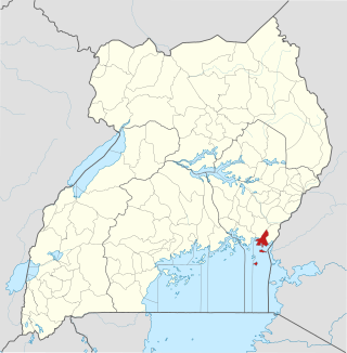
Namayingo District is a district in Eastern Uganda. The district is named after its 'chief town', Namayingo, where the district headquarters are located.

Samia speaking people live in Western Kenya and Eastern Uganda. They are composed of several clans and their ancient economic activities include fishing in Lake Victoria and other rivers such as River Sio, crop farming (obulimi), and animal farming (obutuki). The Samia speaking people, as widely known by other tribes, predominantly live in Busia districts and speak a dialect similar to the Luhya tribe in Kenya. However, on the Ugandan side there is a slight variation in the dialect spoken by the Samia of Southern Busia on the fringe of Lake Victoria and those of North Busia district closer to Tororo District. The former speak Olusamia while the latter speak Olugwe. The two dialects are difficult to differentiate by non Samia speaking people but easily discernible by the natives. and in Uganda mainly found inbusia and Namayingo district.
The Jinja–Iganga–Bugiri–Tororo Road is a road in the Eastern Region of Uganda, connecting the towns of Jinja and Tororo. Sometimes referred to as Tororo–Jinja Road, it is a busy transport corridor, connecting traffic from neighboring Kenya, and northeastern Uganda to Jinja, a major commercial and industrial center, and ultimately to Kampala, the country's capital, and beyond.
The Busitema Solar Power Station is a 4 megawatts (5,400 hp) solar power plant in Uganda.


